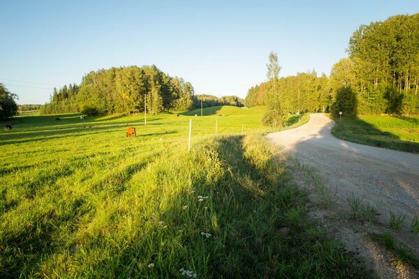
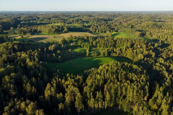
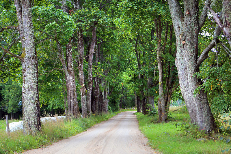
Karula short cycling trail (15 km)
Võru County, Karula National Park
The trail runs through Karula National Park and has no marked starting or end point. The easiest access to the trail is at the visitor centre of Karula National Park, where you can park your car and ask for the National Park map at the information point. The trail is marked with signs.
| Phone | +372 782 8350 |
|
info.karula@rmk.ee
| |
| Type of object | Cycling trail |
| Parking facilities | Available |
| Amenities | The circular trail is marked in both directions, so you can pass it either way (clockwise or counter-clockwise). |
| Camping facilities | yes |
| Campfire site | yes |
| Hiking options | by bicycle |
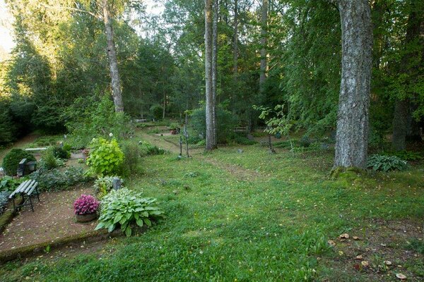
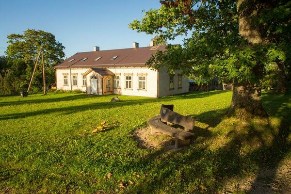
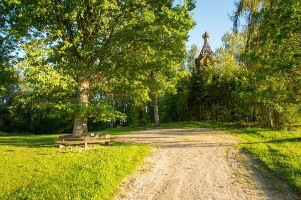
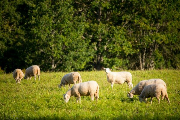
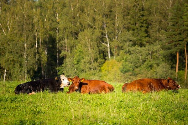
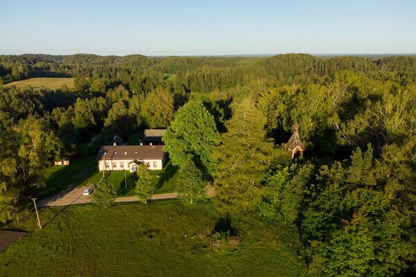
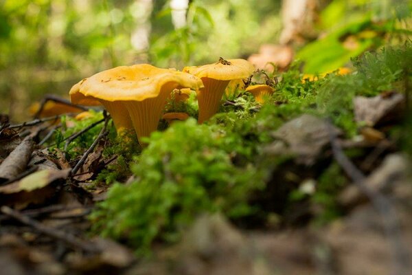
| Sights | The nature, cultural heritage and history of Karula. |
| Additional information |
Before going on a nature walk please read the Environmental code of conduct (freedom to roam), rules of conduct and waste-sorting policy
|
| Restrictions | The trail is situated in Karula National Park, about restrictions please read here. Further information can be obtained from the Environmental Board (+372 662 5999, info@keskkonnaamet.ee). |
| Files |
You can see the trail scheme here.
|
| Location | In Karula National Park. The trail has no designated starting or end point. Object no 22 on the national park map. |
| Driving directions | Drive 8 km from Antsla towards Haabsaare, turn right 50 m after the Haabsaare bus stop (signs “Karula rahvuspargi külastuskeskus 7 km”, “Saru 20 km”). Drive 7 km on Haabsaare–Saru road and follow the signs pointing to the visitor centre of Karula National Park, which lead you to the trail. |
| Geographic coordinates | Long-Lat WGS 84 latitude: 57.712432 longitude: 26.505765 |
| L-EST 97 x: 6399495.6 y: 649334.8 |
_block.jpg)