Tsitre campsite
Harju County, Lahemaa National Park
The
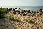
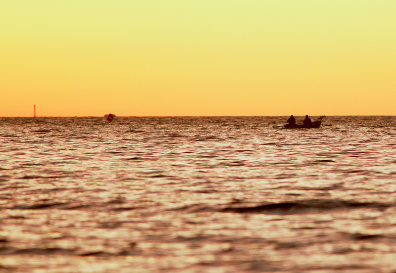
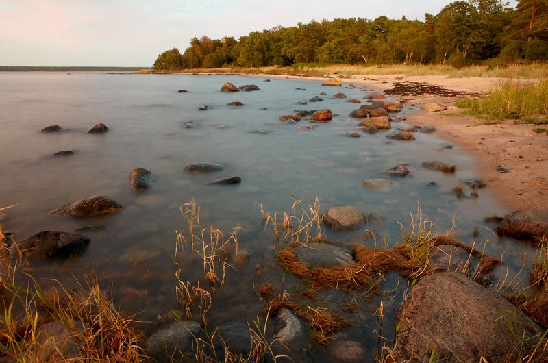
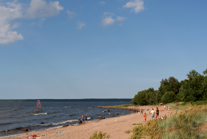
westernmost campsite at the Kolga bay in Lahemaa region.
| Phone | +372 676 7010 +372 329 5555 |
|
info.oandu@rmk.ee
info.lahemaa@rmk.ee | |
| Type of object | Campsite |
| Parking facilities | Parking for 20 cars or 1 bus |
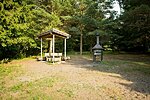
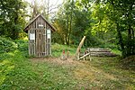
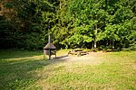
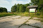
| Amenities | 9 campfire sites with grillrest, incl. 5 outdoor fireplaces, observation tower, information boards, 2 firewood shelters, DC, 2 waste bins, garbage container |
| Camping facilities | Camping for 21 tents (for 4) |
| Outdoor fireplace | yes |
| Campfire site | yes |
| Wheelchair accessibility |
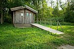
Inva DC, boardwalk (ca 150 m, width 1 m) |
| Hiking options |
Tsitre trail of trees
|
| Sights | Coast, Muuksi
hill fort, Turjekeldri cave and waterfall, Hundikangrud—the largest group of
Early Iron Age stone-cist barrows in Estonia. |
| Additional information |
|
| Restrictions |
The trail is situated in Lahemaa National Park, view the restrictions on visiting here. Additional information from the Environmental Board: +372 662 5999, info@keskkonnaamet.ee.
|
| Location | Kuusalu Municipality, Harju County Object no 15 on national park map. |
| Driving directions | Drive
39 km on Tallinn–Narva road (E20) to Kuusalu, turn right towards Leesi.
Drive 800 m to Kuusalu junction, turn left (sign 17 km to Leesi), pass under
the viaduct, cross the roundabout and drive onto Jõelähtme–Leesi road. Turn
right (at the sign 23 km to Leesi) and drive ahead to the Kupu village. Turn
left 100 m after the Kupu village sign (at the sign 22 km to Leesi) and drive 8
km to the campsite sign directing to the left. |
| Geographic coordinates | Long-Lat WGS 84 latitude: 59.517074 longitude: 25.513333 |
| L-EST 97 x: 6598683 y: 585668 |
