Penijõe hiking trail (3.2–7 km)
Pärnu County, Matsalu National Park
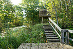
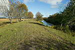
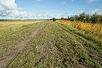
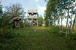
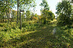
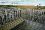
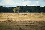
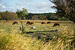
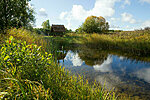
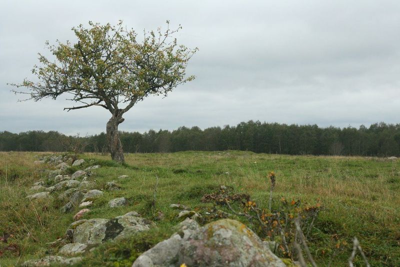
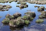
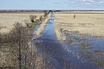
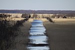
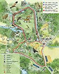
The trail can be completed in various lengths and sections and introduces landforms characteristic of Matsalu National Park (reed beds, flood meadows and grasslands that are overflown in springs) and the local biota. The trail also features an 8 m high observation tower at the edge of the reeds.
| Phone | +372 513 8783 |
| info.matsalu@rmk.ee | |
| Type of object | Hiking trail |
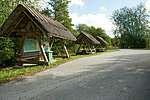
| Parking facilities | Solid-surface parking area for 14 cars or 3 tour buses near the Penijõe Manor, on the bank of the Penijõgi River. The gravel parking area for 6 cars or 1 tour bus on the wooded meadow in Viita. |
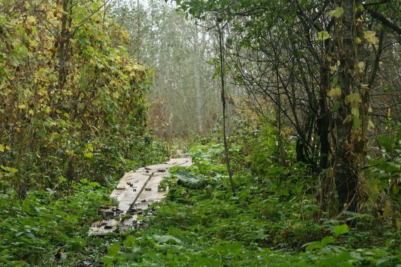
| Amenities | The trail can be completed in various lengths, either as 3.2 km, 4.7 km, 6 km or 7 km trails. The trail partly passes grazing areas. Most of the trail runs along surface path, part of it is boardwalk (63 m). Objects along the trail include a
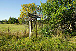
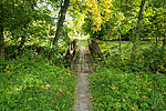
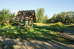
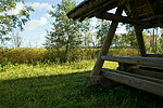
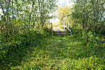
8 m high observation tower and 2.5 m high observation platform on Saare hill, (8) piers across marshy sections, a small bridge. The trail is marked with wooden signs and has pasture gates and fence crossings. There are 4 recreation sites with 6 tables and 12 benches. There is a water observation platform and stairs on the river bank. Along the trail you can find 4 large information boards about the area. |
| Hiking options | yes |
| Sights |
Visitor Centre of Matsalu National Park, Penijõe manor complex, biodiversity, Penijõe observation tower, Viita wooded meadow |
| Additional information |
|
| Restrictions | Matsalu National Park limited management zone. Before your visit, please get acquainted with valid nature conservation rules of Matsalu National Park.
Information about restrictions can be obtained from the Environmental Board (+372 662 5999, info@keskkonnaamet.ee).
Dear Visitor! The trail is located on a grazed area and because of this dogs are not allowed! The animals may attack dogs. We hope you understand and apologize for the inconvenience! |
| Location | Lääneranna municipality, Pärnu County Object no 9 on the national park map |
| Driving directions | Drive 43 km on Risti–Virtsu road (road no 10), turn right towards Penijõe (sign to Matsalu National Park’s Visitor Centre). Drive 2 km to the parking area of the Matsalu National Park’s VisiCentre at Penijõgi River, follow the sign to the hiking trail. |
| Geographic coordinates | Long-Lat WGS 84 latitude: 58.713137 longitude: 23.814745 |
| L-EST 97 x: 6508178 y: 489265 |
