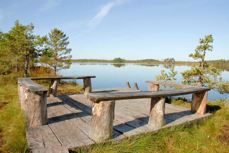
Lake Öördi study trail (2.4 km)
Viljandi County, Soomaa National Park
The trail is impassable due to the high water level.
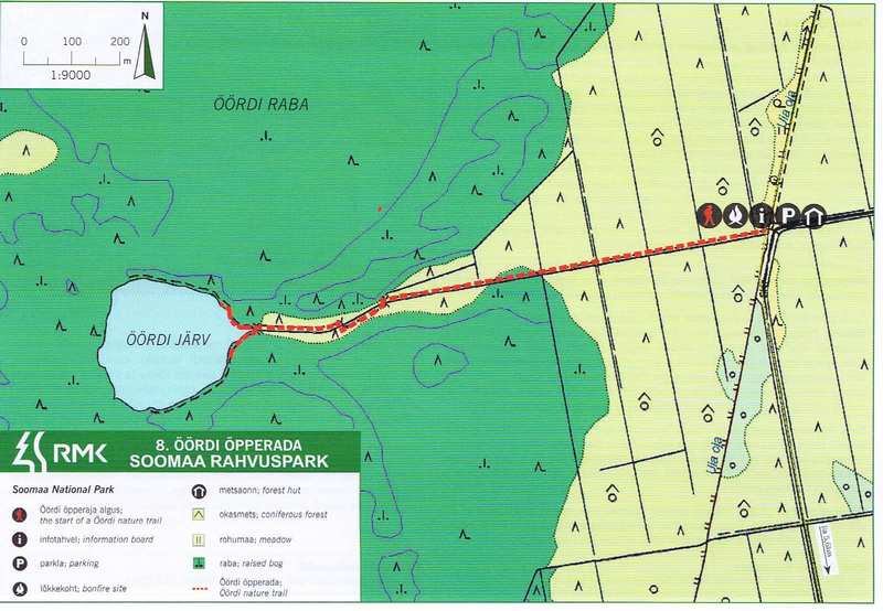
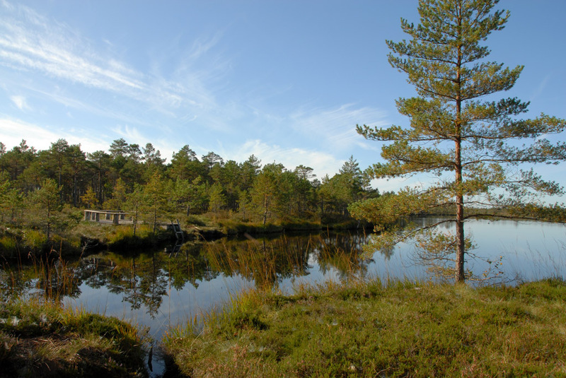
The Öördi bog is the only bog in Soomaa National Park, in which a residual lake of the former large Ice Lake has survived at the edge of the bog.
| Phone | +372 526 1924 |
|
info.soomaa@rmk.ee
| |
| Type of object | Study trail |
| Parking facilities | Parking area for 7 cars. |
| Amenities | Forest hut, firewood shelter, fire ring with barbecue grill, 2 recreation sites, dry toilet |
| Campfire site | Fire ring with a grill |
| Hiking options |
by walking |
| Sights | Öördi bog, Öördi residual lake |
| Berries and mushrooms | Mushrooms, cloudberries, cranberries, bilberries |
| Additional information |
|
| Restrictions | In the territory of the National Park certain restrictions. Further information can be obtained from the Environmental Board (+372 662 5999, info@keskkonnaamet.ee). |
| Location | Iia village, Põhja-Sakala municipality, Viljandi County. Object no 8 on the national park map. |
| Driving directions | When coming from the direction of Tallinn–Pärnu–Tori, drive to Tori, turn onto the Võlli road that leads to the national park. Then drive 6 km along the Jõesuu road to Jõesuu village. Before entering Jõesuu village, turn right onto Kõpu–Jõesuu road. To get to the destination, drive through the national park and drive 600 m from Iia village towards Kõpu, up to the sign directing to Lake Öördi. Turn left and drive 5.7 km along the forest road and the ride to the campfire site. When coming from the direction of Tartu–Viljandi, drive along Tartu–Viljandi–Pärnu road to Kõpu. After passing the Kõpu cemetery, turn right onto Kõpu–Jõesuu road. To get to the destination, drive 7 km to the sign directing to Lake Öördi. Turn right, drive 5.7 km along the forest road and the ride to the parking area. This is also where the study trail starts. |
| Geographic coordinates | Long-Lat WGS 84 latitude: 58.380316 longitude: 25.196533 |
| L-EST 97 x: 6471717.8 y: 569995.1 |
