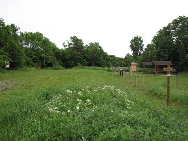
Elda campsite
Saaremaa, Vilsandi National Park
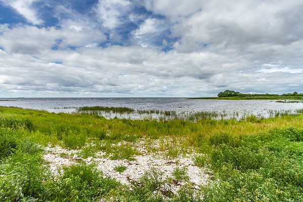
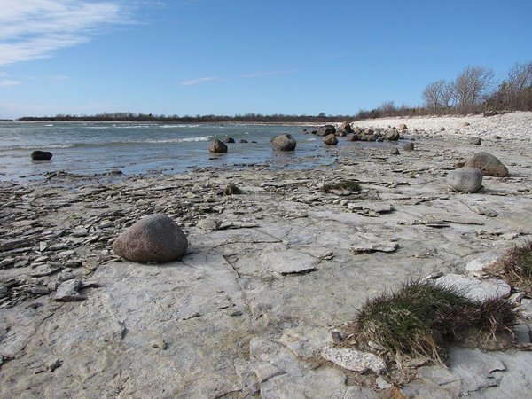
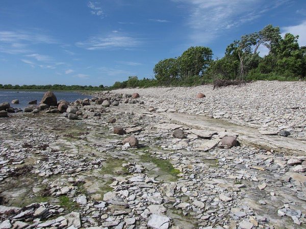
The campsite is located on the southern coast of Kööbe bay. On both sides of the campsite there are Silurian cliffs and ivy on them. A beautiful view on Vilsandi National Park aquatorium and the most western islet of Estonia. A good point for watching seals, birds and butterflys.
| Phone |
+372 454 6880
|
| info.vilsandi@rmk.ee | |
| Type of object | Campsite |
| Parking facilities | Parking
for 3 buses or 10 cars |
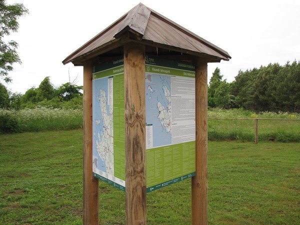
| Amenities | Parking,
information board introducing the National Park, dry toilet |
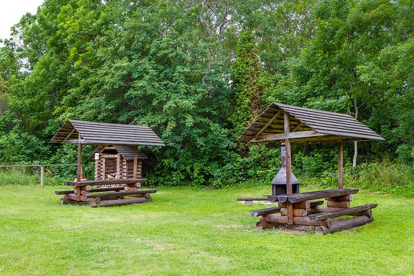
| Camping facilities | yes |
| Outdoor fireplace | yes |
| Sights | Elda cliff in the north-western end of the Elda peninsula in Vilsandi
National Park is the highest cliff on Saaremaa Island, rising from 1,200 to 1,500 metres. The outcrop is well exposed within the
range of 200 to 300 m. The maximum
height of the cliff is 1.5 to 1.8 m. |
| Additional information |
Before going on a nature walk please read the Environmental code of conduct (freedom to roam), rules of conduct and waste-sorting policy
|
| Restrictions | Please visit the Elda cliff on foot, walking along the seashore or taking the paths leading to the top of the peninsula across privately owned lands. On private properties please close the gates behind you! Located in Vilsandi National Park.
Information about restrictions can be obtained from the Environmental Board (+372 662 5999, info@keskkonnaamet.ee).
|
| Location | Atla village, Saaremaa municipality Object no 17 on area map |
| Driving directions | Drive 76 km on Kuivastu–Kuressaare road (Road no. 10) and
turn right from the roundabout. Drive 4 km
to the next roundabout and choose the exit to Road no. 78. Drive 31 km, turn left at the Kihelkonna junction. Drive 4.4 km on Kihelkonna–Lümanda road, turn left at the Karala
junction. Drive 8.5 km towards Karala
up to the Austla junction and from there 6 km
to the Kööbe inlet parking area, following the trail signs and choosing roads
which turn to the right. Public bus service not available. |
| Geographic coordinates | Long-Lat WGS 84 latitude: 58.290498 longitude: 21.846152 |
| L-EST 97 x: 6463117.8 y: 373697.4 |