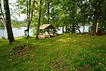
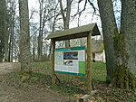
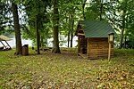
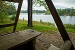
Lake Kavadi campfire site
Võru County, Haanja Nature Park
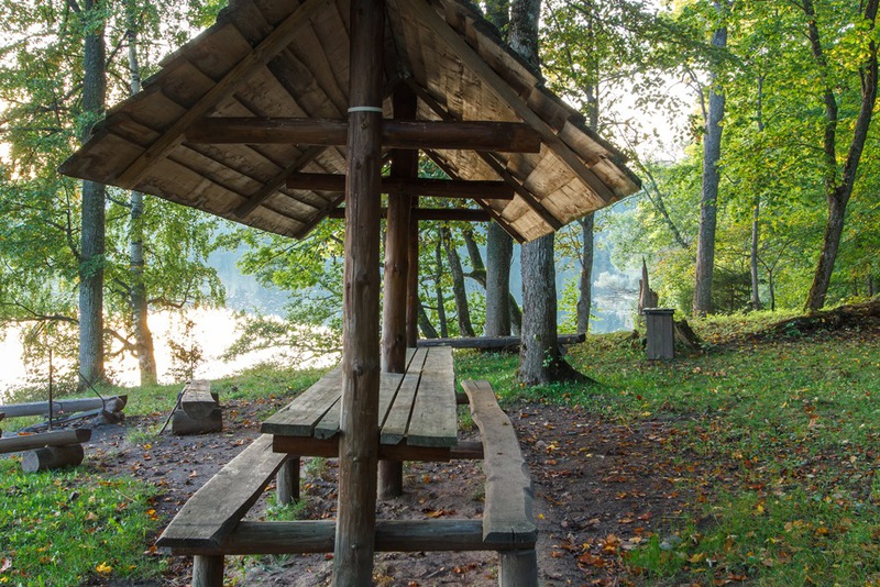
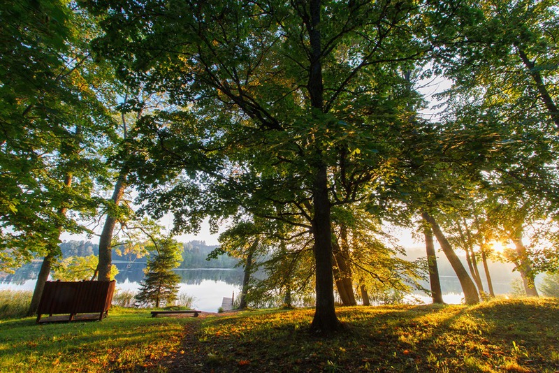
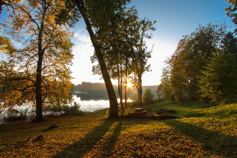
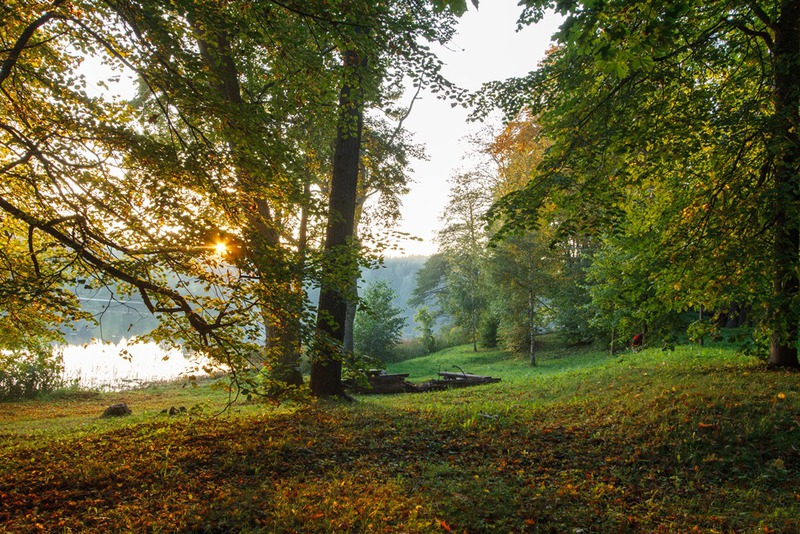
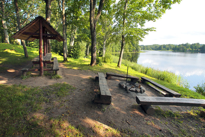
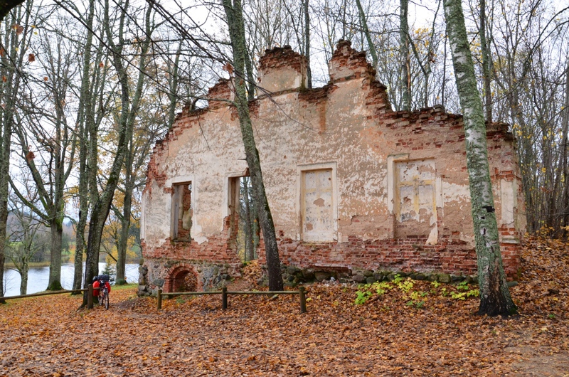
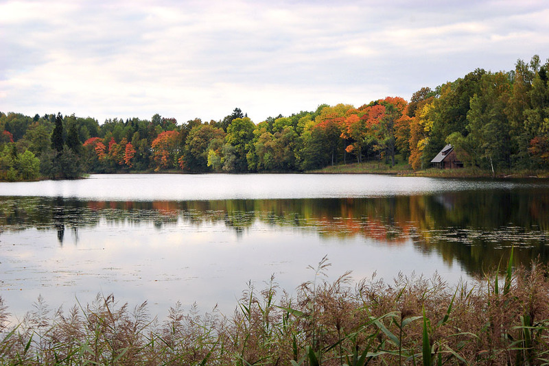
The campfire site is in the protected manor park of Uue-Saaluse, near Lake Kavadi, which is known for its uneven shoreline and numerous islands. The water surface area of Lake Kavadi is 27 ha, and the lake is located 210.7 m above the sea level. Max depth 8.2 m, average depth approximately 3.5 m. There are two separate fire rings, a camping area and a swimming beach. One of the campfire rings is on the hill, where a wonderful view opens on the lake. In summer you can find cowslips and wild strawberries near the site. There is a bus stop at the driveway into the manor park.
| Phone | +372 501 9564 |
|
info.pahni@rmk.ee
| |
| Type of object | Campfire site |
| Parking facilities | Parking by the side of the access road. |
| Amenities | Campfire site with 2 fire rings with barbecue grills, shelter with table and benches, 2 firewood shelters, benches, information boards, changing cabin, swimming pier, dry toilet, barrier |
| Camping facilities |
The maximum number of tents (for 4) allowed is 4. |
| Campfire site | 2 fire rings with barbecue grills |
| Water |
Non-potable water can be taken from the lake. |
| Hiking options |
Near the campfire site starts the Lake Kavadi hiking trail (2.2 km). |
| Sights | Lake Kavadi, Uue-Saaluse manor park, ruins of the manor, cultural heritage landscape. |
| Additional information |
|
| Restrictions | The campfire site is situated in Haanja Nature Park, about restrictions please read here. Further information can be obtained from the Environmental Board (+372 662 5999, info@keskkonnaamet.ee). |
| Location | Uue-Saaluse village, Rõuge municipality, Võru County. Object no 6 on the nature park map. |
| Driving directions | On Võru-Haanja road, 9 km from Võru, turn left at the "Risttee"bus stop (sign “Uue-Saaluse 4 km”). Drive 4 km along the gravel road. Turn left (Räpo) on the next crossroad and continue 400 m on gravel road to the bridge (there is a lake on your left). After crossing the bridge and after the building on the right, there is an information board and signs on the left directing to the campfire site. |
| Geographic coordinates | Long-Lat WGS 84 latitude: 57.74563 longitude: 27.10534 |
| L-EST 97 x: 6404671.1 y: 684869.8 |
