Naissaare central trail (11 km)
Harju County, Naissaare Nature Park
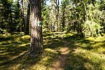
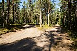
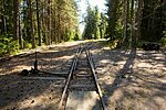
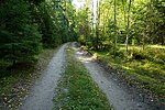
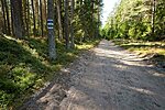
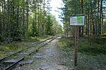
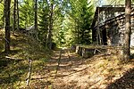
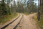
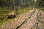
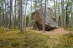
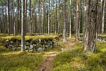
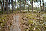
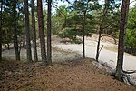
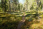
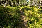
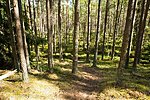
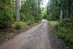
The trail introduces the natural sights of Naissaare Island. It starts from the Naissaare campsite and goes north to the Danish King's Garden. From Põhjaküla village the trail turns west by the forest bourn until it reaches Kunila hill that is the highest point of the island. From the hill the trail turn back south, makes a circle in the old mine stores and goes back to the campsite.
| Phone | +372 676 782 |
| info.viimsi@rmk.ee | |
| Type of object | Hiking trail |
| Parking facilities | Landing with boats is only allowed at Naissaare harbour. |
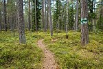
| Amenities | Trail is marked with white-gree-white markings on trees and sings at turning points. There 9 interest points with information boards. |
| Camping facilities | yes |
| Campfire site | yes |
| Hiking options | yes |
| Sights | Danish King's Garden, Põhjaküla village, Kunila hill, old mine stores |
| Additional information | Camping and campfires allowed at Naissaare campsite. Before going on a nature walk please read the Environmental code of conduct (freedom to roam), rules of conduct and waste-sorting policy |
| Restrictions |
Located in Naissaare Nature Park. Information about restrictions can be obtained from the Environmental Board (+372 662 5999, info@keskkonnaamet.ee).
|
| Location | Naissaar, Viimsi municipality, Harju County Object no 2 on the Naissaare Nature Park map |
| Driving directions | Drive to Naissaare by boat. From the harbour turn north. The trail starts about 300 m from the harbour at the Naissaare campsite. Look for white-green-white markings on trees. |
| Geographic coordinates | Long-Lat WGS 84 latitude: 59.564591 longitude: 24.542262 |
| L-EST 97 x: 6603134.9 y: 530656.2 |

