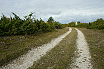
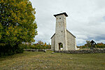
Osmussaare hiking trail (9 km)
Lääne County, Osmussaare Landscape Reserve
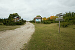
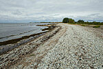
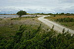
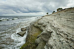
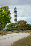
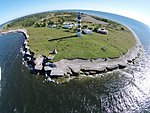
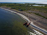
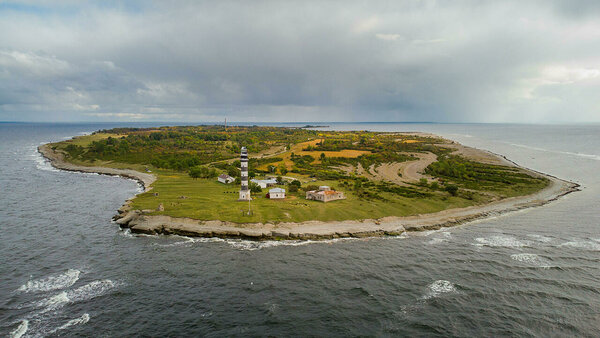
On the North coast of the island you can view the cliff that is part of the 1200 km long Baltic Klint. The cliff is highest (7 m) around the lighthouse and becomes lower towards North-East where the so called "Crocodiles" are located.
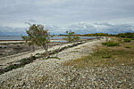
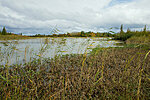
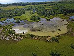
There are the coastal lagoons, open to the sea;
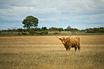
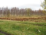
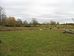
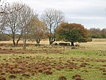
cliffs; meadows; fens and old broad-leaved forests.
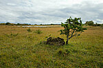
Osmussaar`s jewels are Alvar meadows.
There are the coastal lagoons, open to the sea;
cliffs; meadows; fens and old broad-leaved forests.
Osmussaar`s jewels are Alvar meadows.
| Phone | +372
506 2004 |
| info.nova@rmk.ee | |
| Type of object | Hiking trail |
| Parking facilities | Parking at Dirhami harbour |
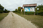
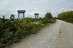
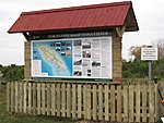
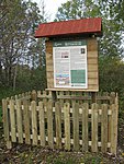
| Amenities | 2 information boards one in the North and one in the South tip of the island, 6 interest points on the trail. |
| Camping facilities |
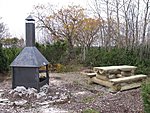
Lõunasadama campfire site I Lõunasadama campfire site II Kaksikute campfire site |
| Outdoor fireplace | Kaksikute campfire site Lõunasadama campfire site I |
| Campfire site | Lõunasadama campfire site II
|
| Hiking options | yes |
| Sights | Relict
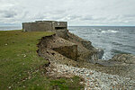
lakes, boulders of gneissic breccias, military legacy |
| Additional information |
Before going on a nature walk please read the Environmental code of conduct (freedom to roam), rules of conduct and waste-sorting policy
|
| Restrictions | Without the consent of the protected area manager organized tourism and big events are prohibited on the island. All trash must be taken with you!
Information about restrictions can be obtained from the Environmental Board (+372 662 5999, info@keskkonnaamet.ee).
|
| Location | Osmussaare Island, Lääne-Nigula municipality, Lääne County |
| Driving directions | Access
to the island by boat has to be booked beforehand. Drive 47 km from Tallinn through Keila towards
Haapsalu, turn right at the Määra junction (sign 29 km to Nõva). Drive 15 km through Nõva towards
Haapsalu, turn right at the Riguldi junction and drive to port Dirhami, from
where you can get to the island. |
| Geographic coordinates | Long-Lat WGS 84 latitude: 59.276275 longitude: 23.409765 |
| L-EST 97 x: 466349 y: 6571039 |
