Paukjärve campsite
Harju County, Aegviidu-Kõrvemaa Recreation Area
The western side of the extended danger zone of the Defense Forces central training ground is closed for national defense training
03-06.04.2023. Additional information on mil.ee.
03-06.04.2023. Additional information on mil.ee.
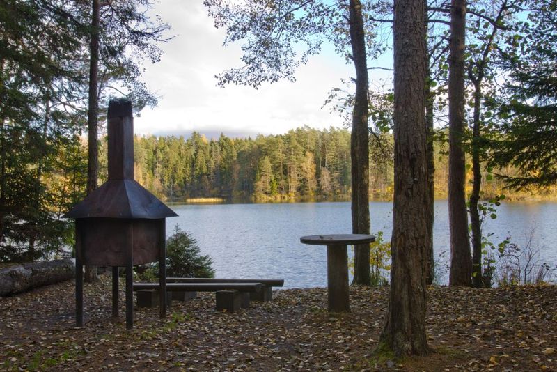
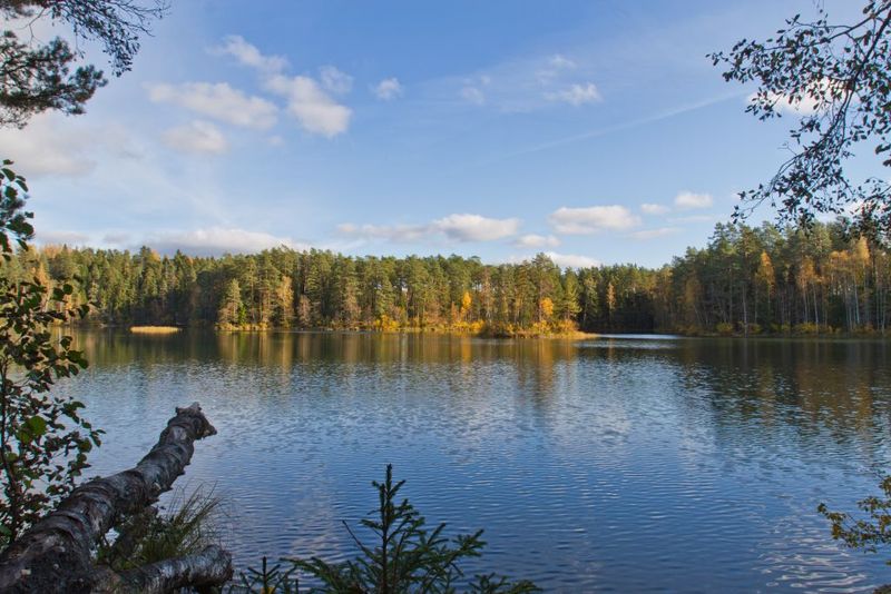
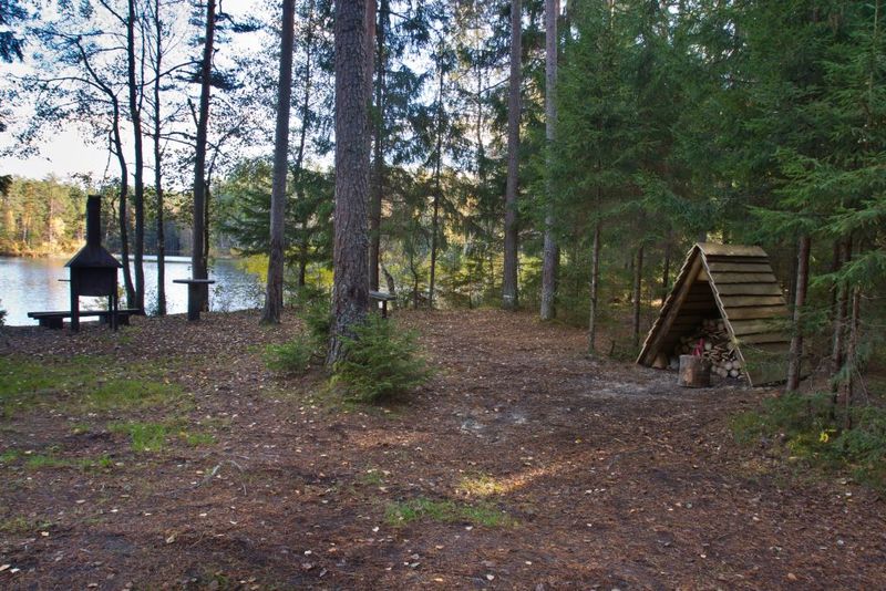
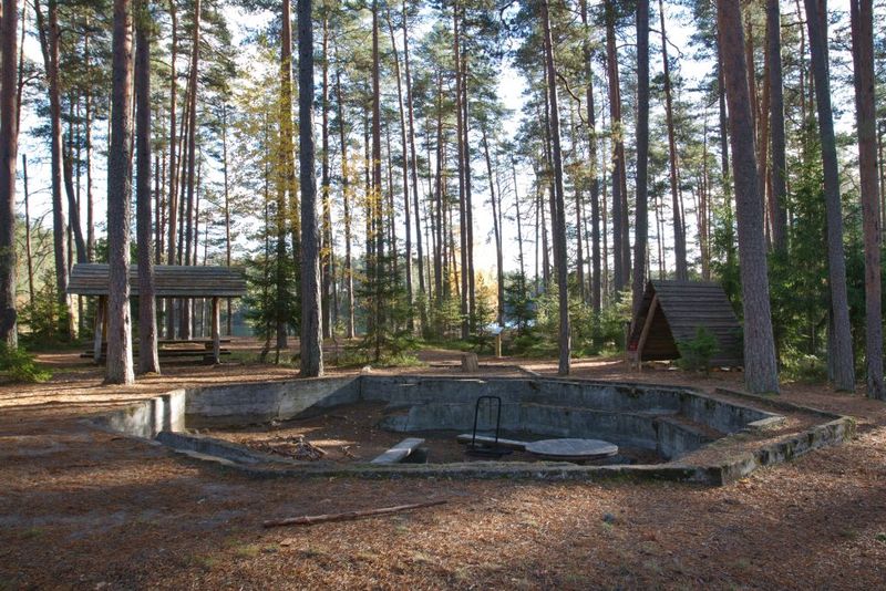
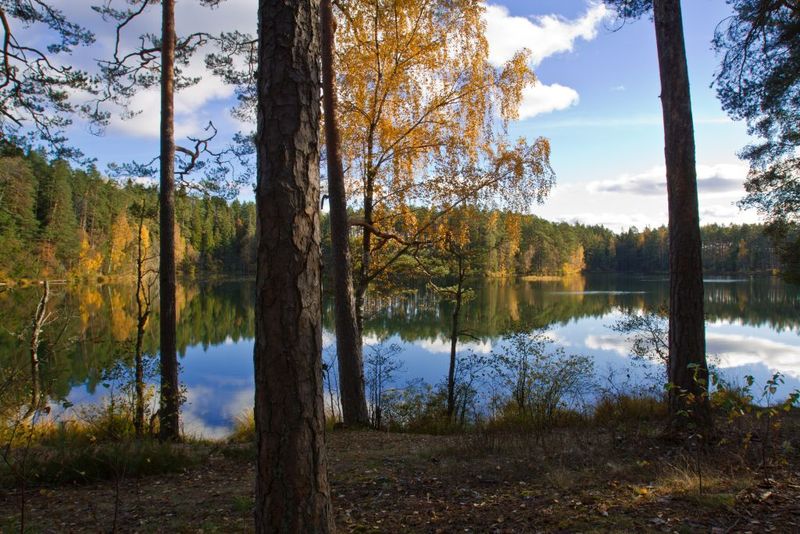
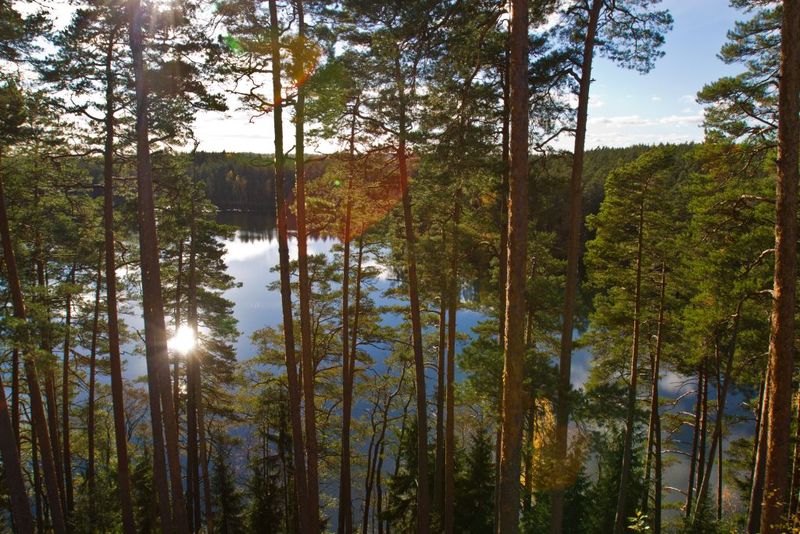
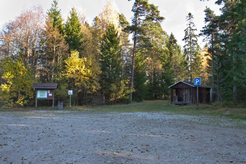
A spacios campsite by Lake Paukjärv with many separate campfire sites. This is campsite with a long history.
| Phone | +372 604 7212 |
|
info.aegviidu@rmk.ee | |
| Type of object | Campsite |
| Parking facilities | Kaksiksilla parking area
by the Soodla River for 20 cars or max 4 buses |
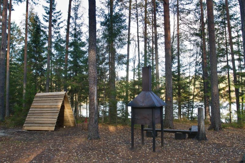
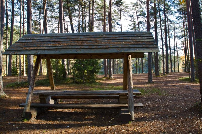
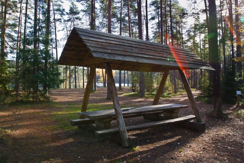
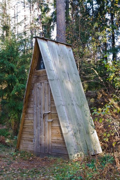
| Amenities | In the first – an open fireplace with grillrest, table-benches with a roof, 4 benches, a dry toilet, a shelter for firewood, a rubbish bin, an information board. In the second – a covered fireplace with grillrest, a table-bench, a shelter for firewood, a dry toilet, a rubbish bin. In the third - a covered fireplace, a table, 2 benches, a dry toilet, a firewood shed, a rubbish bin |
| Camping facilities | Maximum number of tents (for 4) allowed is 20. |
| Outdoor fireplace |
Outdoor fireplace
|
| Campfire site | Fire ring |
| Water |
Non-potable water from lake Paukjärve |
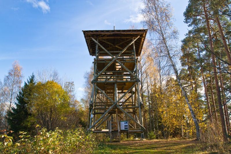
| Hiking options |
Located on Paukjärve nature trail, Oandu-Aegviidu-Ikla hiking route |
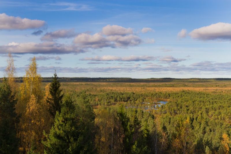
| Sights | Lake Paukjärv, Kõnnu
Suursoo mire, esker by the lake. During the first independence this was a campsite used for the summer camps of YMCA (Young Men's Christian Association). It was also used as a training site for the Estonian National Basketball Team and the Olympic Team. Later it was used as a summer camp by the scouts and during soviet times by the pioneers. From 1953. the area was a part of the Soviet Army's Artillery testing ground. |
| Berries and mushrooms | Bilberries, cowberries, chanterelles |
| Additional information | The object is equipped with firewood. Before going on a nature walk please read the Environmental code of conduct (freedom to roam), rules of conduct and waste-sorting policy |
| Restrictions | The campsite is situated in North-Kõrvemaa nature reserve. Information about restrictions can be obtained from the Environmental Board: +372 662 5999, info@keskkonnaamet.ee |
| Location | Kuusalu municipality,
Harju County Object no 6 on recreation area map |
| Driving directions | On Jägala–Käravete road
(road no. 13), 29 km from Jägala, turn left to the gravel forest road and drive
7.2 km, turn right (follow the sign “Paukjärve”). Drive 2.2 km to the
Kaksiksilla parking area. From the Kaksiksilla parking area walk 1 km along a
marked forest path to the campsite. |
| Geographic coordinates | Long-Lat WGS 84 latitude: 59.399545 longitude: 25.686573 |
| L-EST 97 x: 6585827.9 y: 595802.2 |