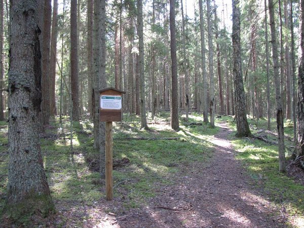
Soontaga hiking trail (2.9 km)
Valga County, Kiidjärve–Kooraste Recreation Area
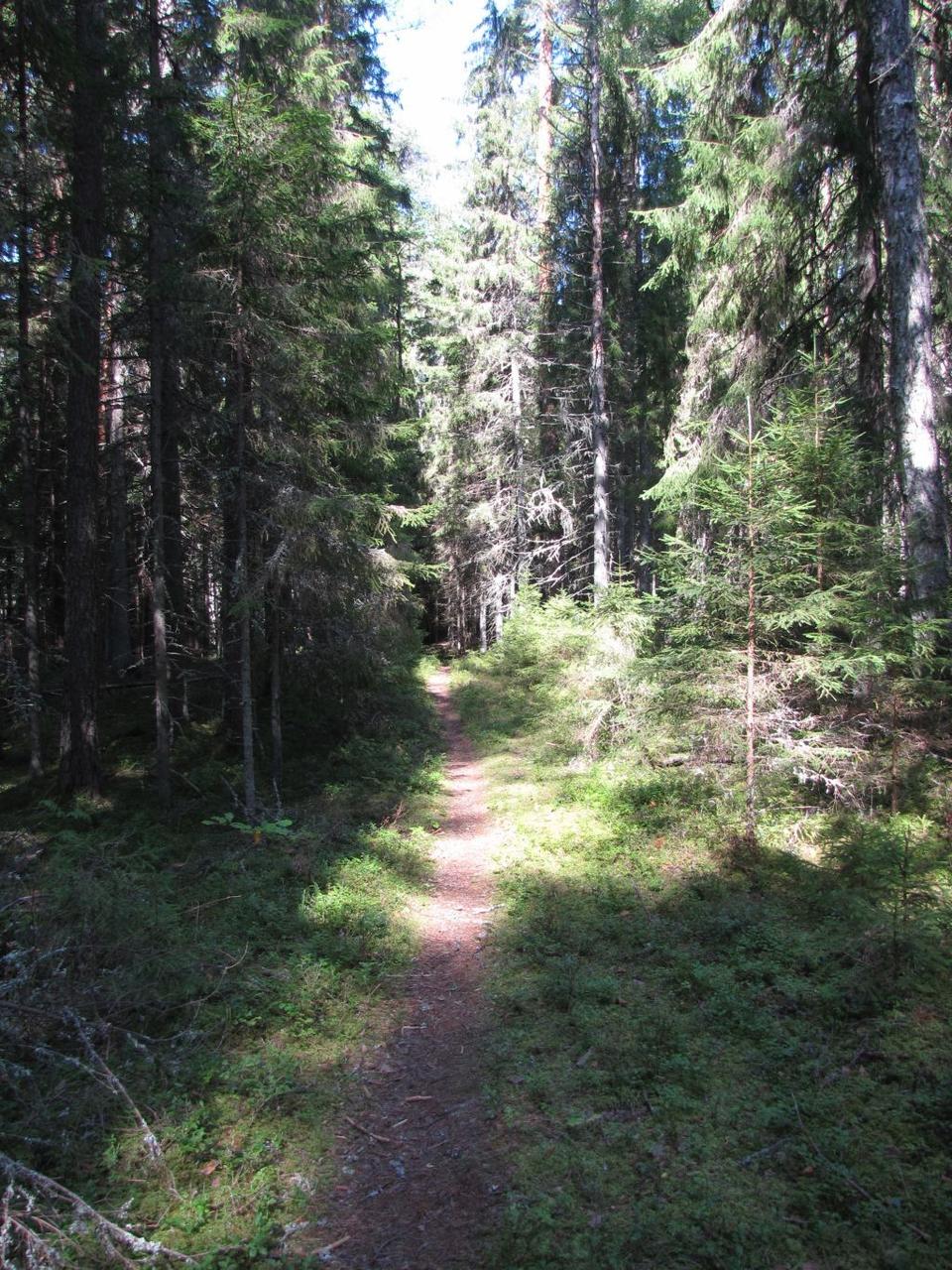
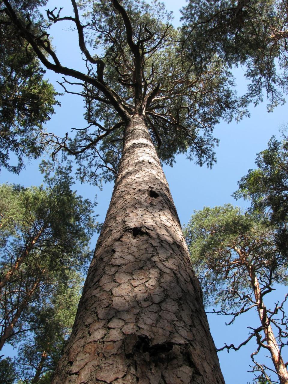
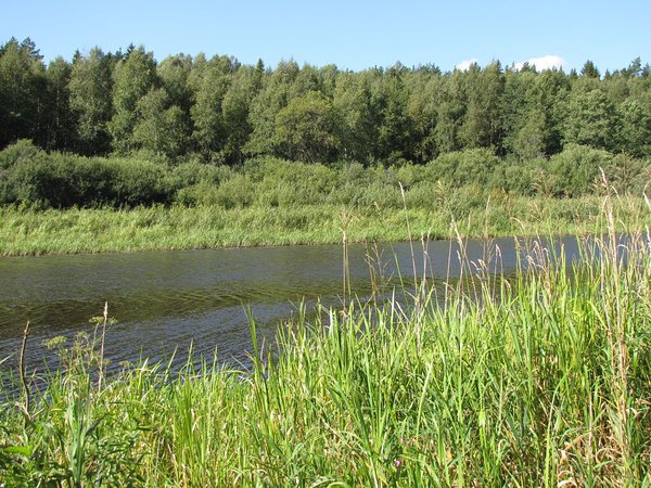
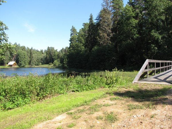
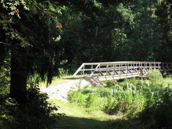
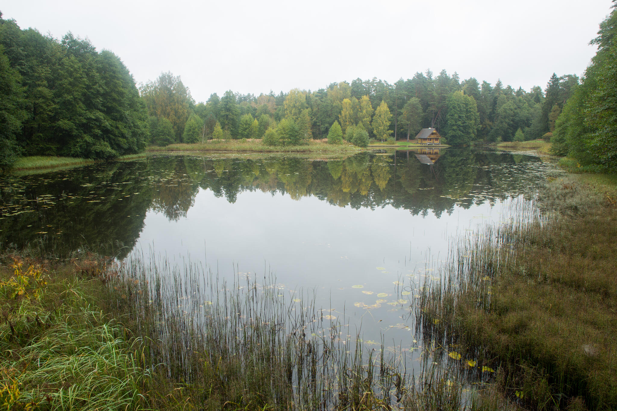
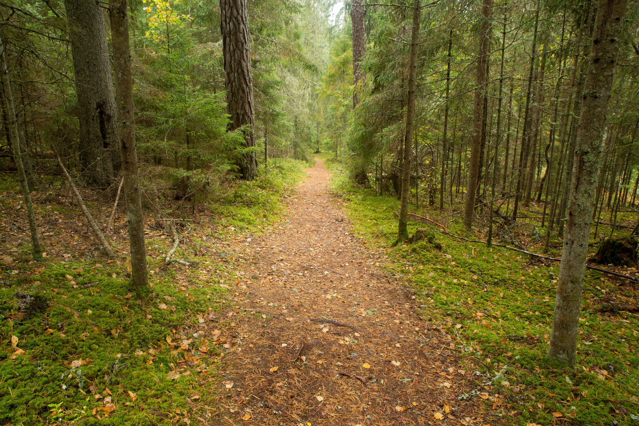
The hiking trail introduces typical South-Estonian mixed forests, plants and the flooded meadows of the Väike-Emajõgi River.
| Phone | +372 676 7122 |
|
info.kiidjarve@rmk.ee | |
| Type of object | Hiking trail |
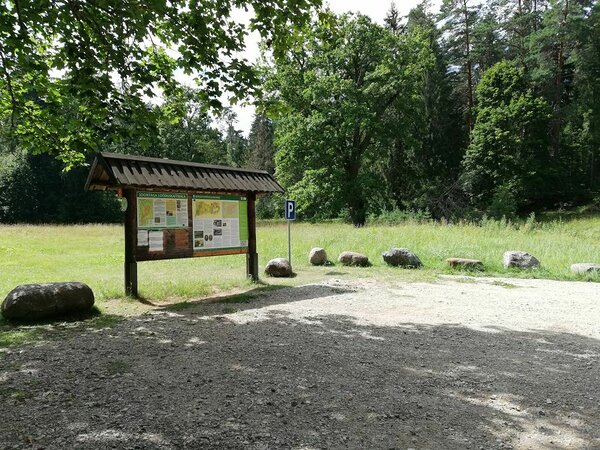
| Parking facilities | Parking for 20 cars at Soontaga campsite, where the trail starts and ends. |
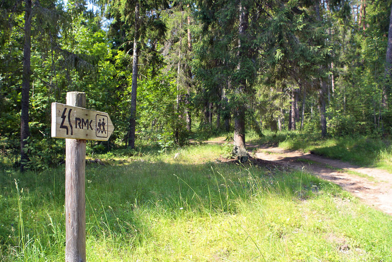
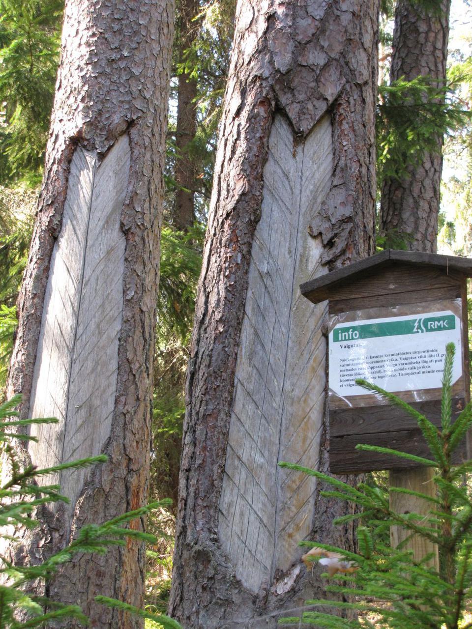
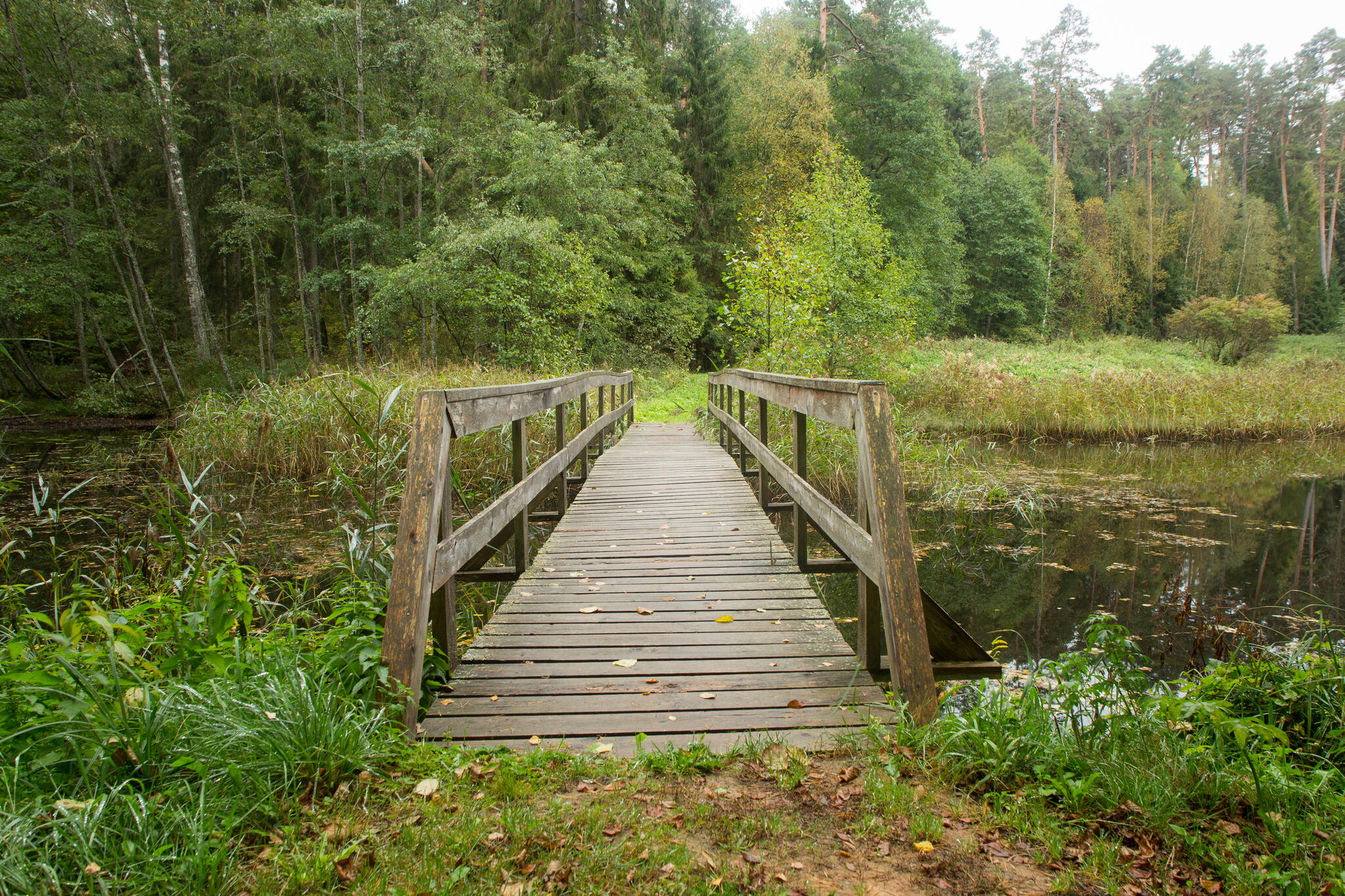
| Amenities | Information boards, indication, two bridges |
| Camping facilities | In the Soontaga campsite for 50 tents (for 4). |
| Outdoor fireplace |
3 outdoor fireplaces.
|
| Berries and mushrooms | Mushrooms |
| Additional information |
|
| Restrictions | The trail is situated in the Soontaga Nature Reserve, information
about restrictions
can be obtained from the Environmental Board (+372 662 5999, info@keskkonnaamet.ee). |
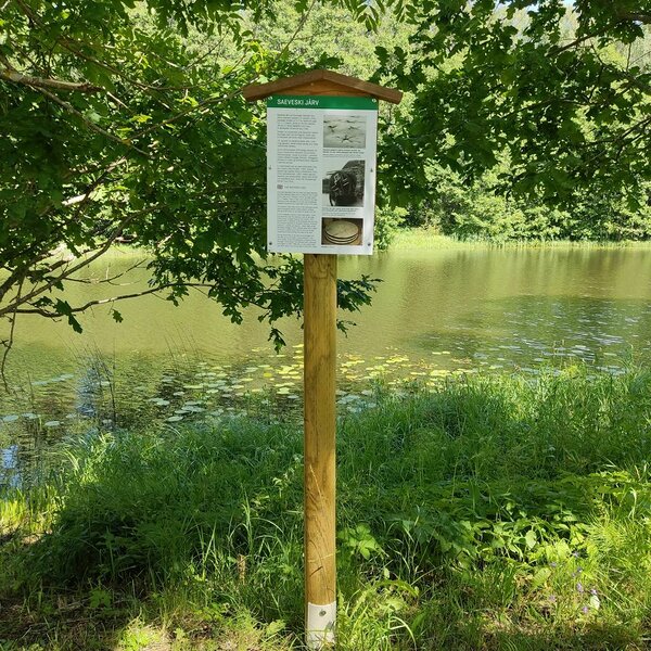
| Location | On the shore of Lake Saeveski, in Tõrva municipality, Valga County. Object no 41 on the recreation area map. |
| Driving directions | Soontaga hiking trail starts at Soontaga campsite. On Võru–Kuigatsi–Tõrva road, 3 km from the Jõhvi–Tartu–Valga road junction, turn right onto the small gravel road (follow the sign “RMK Soontaga telkimisala”), drive about 3 km and turn left (sign “RMK Soontaga telkimisala”). After about 1 km you’ll arrive at the campsite, where the hiking trail starts. |
| Geographic coordinates | Long-Lat WGS 84 latitude: 58.021916 longitude: 26.067585 |
| L-EST 97 x: 6433059 y: 622168 |