Taevaskodade hiking trail (3 km)
Põlva County, Kiidjärve–Kooraste Recreation Area
Near the outcrops and in the springwater caves is DANGEROUS TO LIFE - DANGER OF CAVE IN!
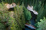
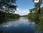
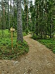
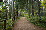
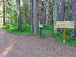
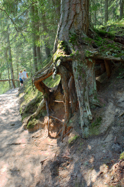
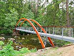
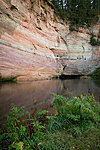
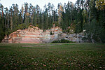
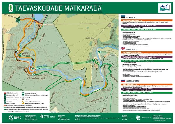
This 3 km signposted loop trail leads the visitor to picturesque outcrops and views of primeval forces, and also to the world of legends, folk tales and film industry. The
trail is only for walking, part of the trail (to Suur Taevaskoda)
is suitable for persons with reduced mobility.
The trail is for walking only!
The trail is for walking only!
| Phone | +372 676 7122 |
|
info.kiidjarve@rmk.ee | |
| Type of object | Hiking trail |
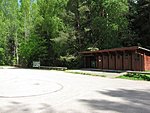
| Parking facilities | Saesaare large parking area for 30 cars. |
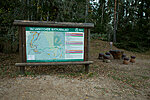
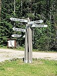
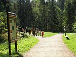
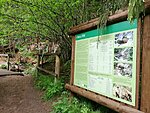
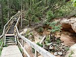
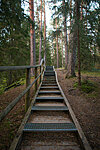
| Amenities | Information boards, railings on steep slopes, bridges, stairs. The hiking trail map is available at the Kiidjärve Visitor Centre. |
| Camping facilities | From Suur-Taevaskoja 1 km on foot in Otteni campfire site. |
| Wheelchair accessibility |
Inva-toilet is in the parking lot. With a wheelchair and a pram it is possible to move along the gravel road to Suur Taevaskoda, follow the directions, please. As the road goes up and down, a wheelchair user definitely needs a attendant. |
| Hiking options |
The trail is for walking only! From Saesaare dam there is Kiidjärve-Taevaskoja-Kiidjärve hiking trail (11,8 km) on both sides of Ahja river. From Suur Taevaskoja You can hike to Otteni watermill and and back to Taevaskoda on the other side of the river. There is also RMK Peraküla-Aegviidu-Ähijärve hiking route. |
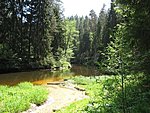
| Sights | Suur Taevaskoda, Väike Taevaskoda (outcrops), Emaläte (Mother’s Spring), Neitsikoobas (Virgin’s Cave), Salakuulajakivi (Spy’s Rock), Savimägi (Clay Hill), Ahja River. |
| Berries and mushrooms | Bilberries, mushrooms |
| Additional information |
|
| Restrictions | The trail is situated in Ahja River Valley Landscape Reserve,
information about restrictions can be obtained from the Environmental Board (+372 662 5999, info@keskkonnaamet.ee).
Public events for more than 50 people are subject to approval from RMK, more information from puhkus@rmk.ee |
| Location | Põlva County, in the Saesaare–Taevaskoja area. Object no 21 on the recreation area map. |
| Driving directions | Drive on Tartu–Põlva road towards Põlva, 6 km before Põlva turn left towards Taevaskoja. Continue 3.5 km along Kanariku–Kiidjärve road (Road no. 18146). Drive through Taevaskoja village, before the Saesaare bus stop there is a sign directing to Taevaskoda on the right. Drive about 400 m to Taevaskodade parking area. |
| Geographic coordinates | Long-Lat WGS 84 latitude: 58.115161 longitude: 27.047495 |
| L-EST 97 x: 6445641 y: 679563 |
