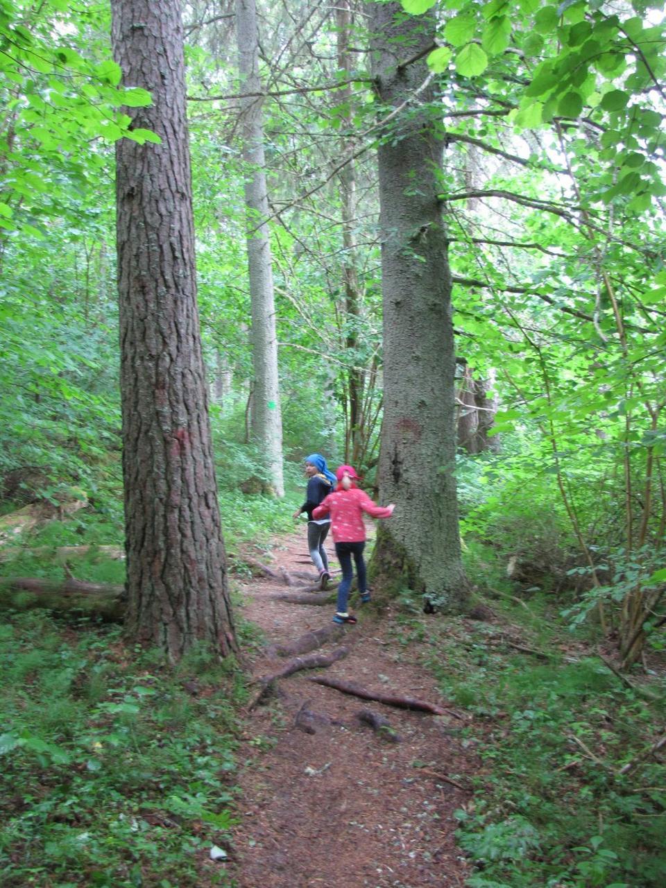
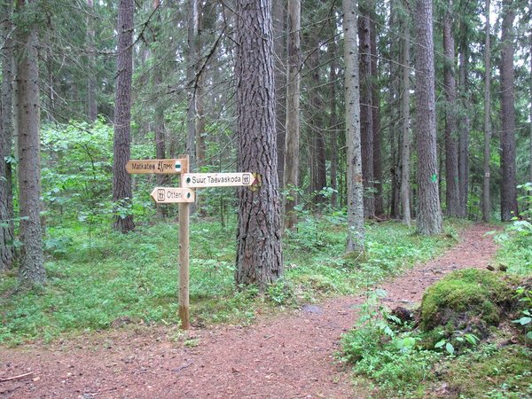
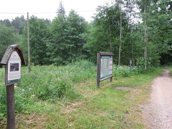
Taevaskoja-Otteni-Taevaskoja hiking trail (3,8 km)
Põlva County, Kiidjärve–Kooraste Recreation Area
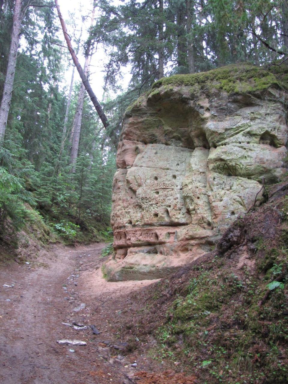
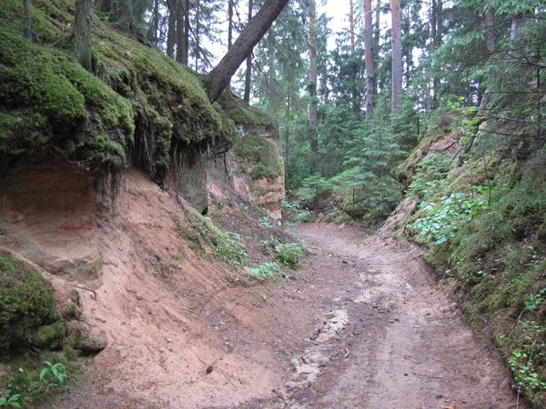
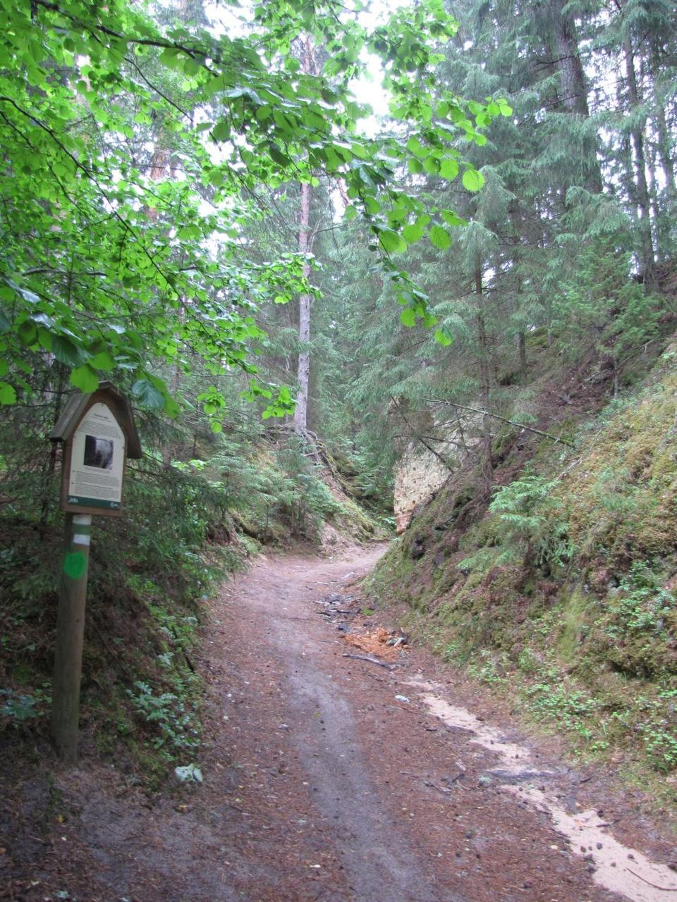
Prohibition of movement by the outcrop - danger of cave in!
Starting from Suur Taevaskoda the trail takes you to the high banks of Ahja River.
The trail is only for walking!
The trail is only for walking!
| Phone |
+372 676 7122
|
|
info.kiidjarve@rmk.ee
| |
| Type of object | Hiking trail |
| Parking facilities | Parking in Taevaskodade parking area for 30 cars |
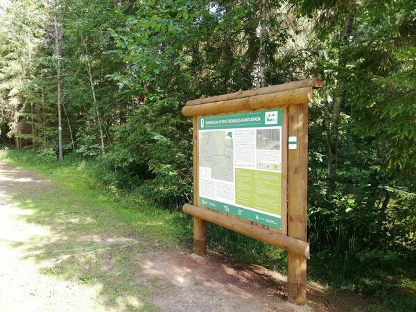
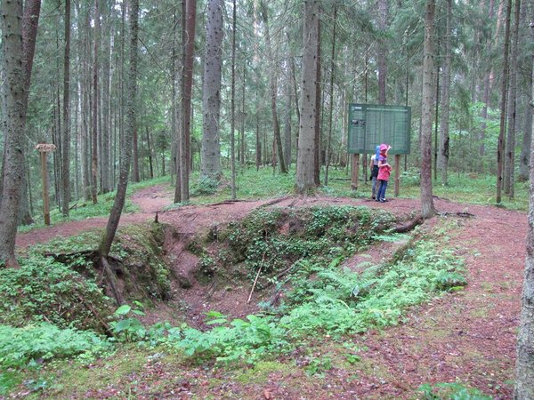
| Amenities | Indicated with green signs, supported with information boards |
| Camping facilities | The nearest is Otteni campfire site. |
| Outdoor fireplace |
Outdoor fireplace with grillrest in Otteni campfire site.
|
| Water | Non-potable water from Ahja River. |
| Hiking options |
The trail is only for walking! Taevaskodade hiking trail starting from Taevaskodade parking area, Kiidjärve-Taevaskoja-Kiidjärve hiking trail (11,8 km) on the banks of Ahja River, RMK Peraküla-Aegviidu-Ähijärve Hiking Route. |
| Sights |
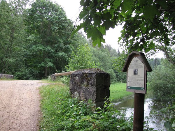
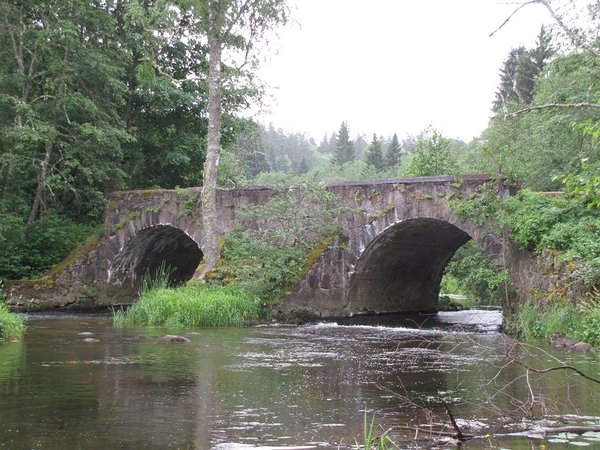
Suur Taevaskoda, partly preserved Otteni/Valgesoo watermill, Otteni arched watermill bridge, miniature canyon, picturesque views to Ahja River, information board by bushwhackers` hollow. |
| Additional information |
|
| Restrictions |
The trail is located in the Ahja River Valley Landscape Protection Area. Information about restrictions can be obtained from the Environmental Board (+372 662 5999, info@keskkonnaamet.ee).
|
| Location |
Saesaare-Taevaskoja-Otteni region in Põlva County |
| Driving directions |
Drive from Tartu towards Põlva along the Põlva -Reola road. 6 km before Põlva, turn to the left towards Taevaskoja. Drive 3,5 km along Kanariku-Kiidjärve road (road nr
18146). Drive through Taevaskoja till before Saesaare bus stop there is the sign "Taevaskoda". Drive 400 m to Taevaskodade parking area. From there on foot to Taevaskodade hiking trail, Taevaskoja-Otteni-Taevaskoja hiking trail starts under Suur-Taevaskoda. |
| Geographic coordinates | Long-Lat WGS 84 latitude: 58.108083 longitude: 27.051642 |
| L-EST 97 x: 6444864,4 y: 679842,6 |