Tilleoru hiking trail (4,5 km)
Põlva county, Kiidjärve-Kooraste Recreation Area
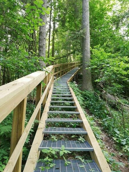
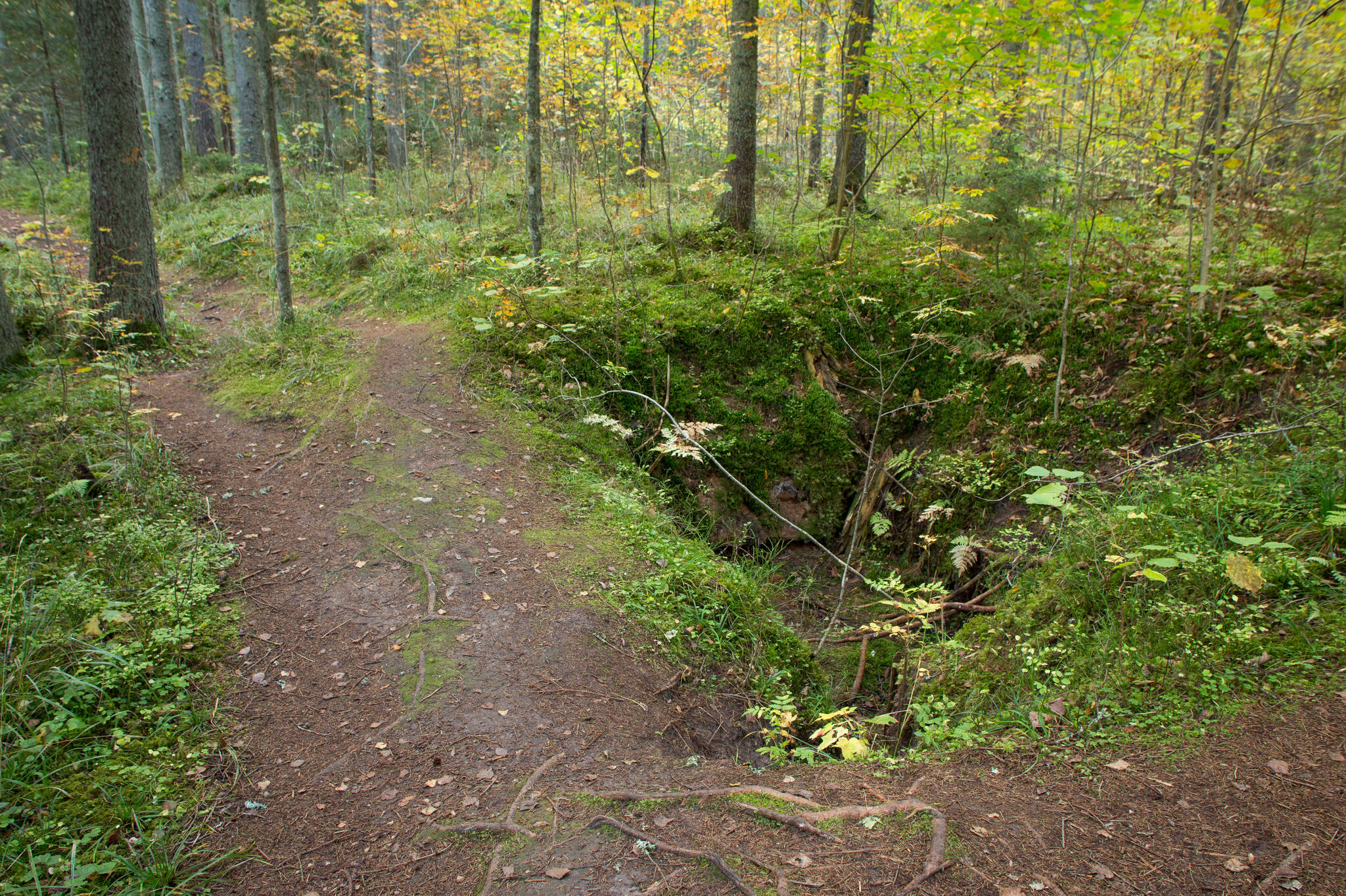
The sharp ups and downs of the Tilleoru hiking trail and the trail on the valley column are slippery When the wet. Please be careful when walking on the trail!
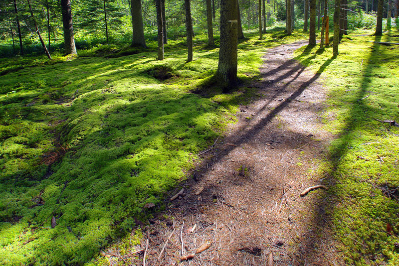
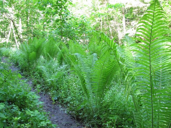
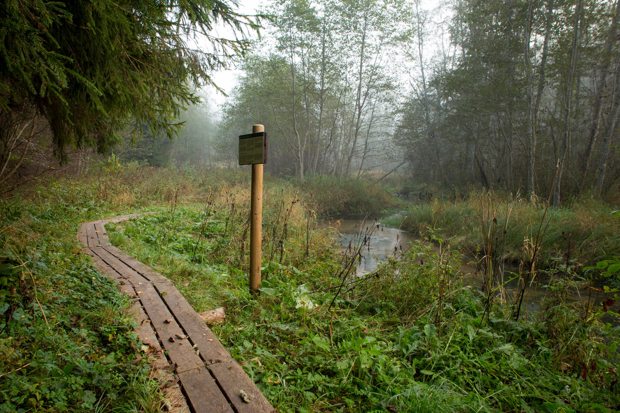
The hiking trail starts near the old Tartu-Võru road bridge and goes along the left riverbank on the floodplain through forest up to Merioone spring. At the spring, one should climb up the stairway and along the forest track and path running on the left bank of the Hurmi stream. Most of the trail runs on private land.
| Phone | +372 676 7122 |
|
info.kiidjarve@rmk.ee | |
| Type of object | Hiking trail |
| Parking facilities | Roadside parking or in the parking area at the Road Museum. |
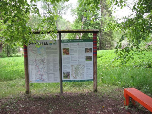
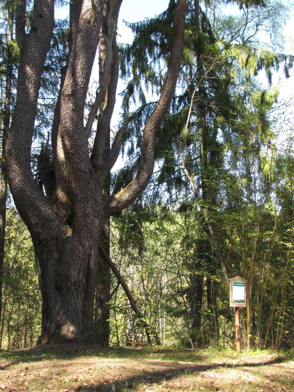
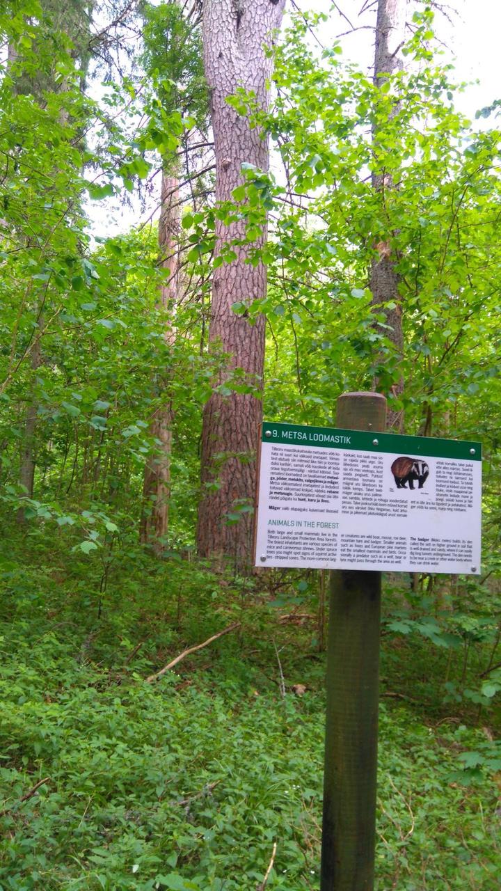
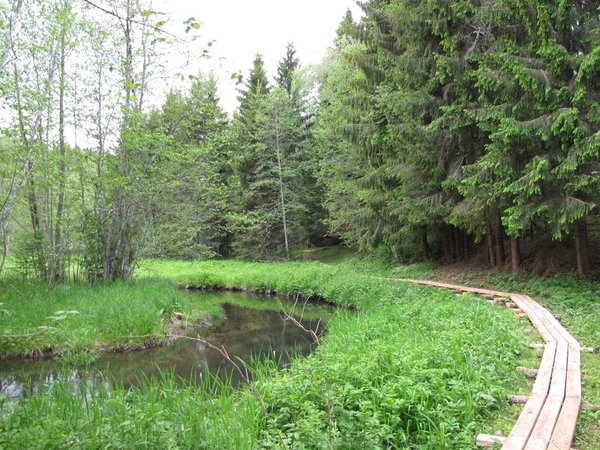
| Amenities | Information boards on the trail, boardwalk, bridges, stairs, railings on steep slopes, 2 rest stops |
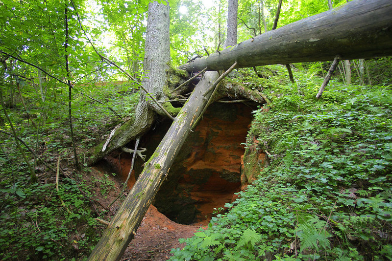
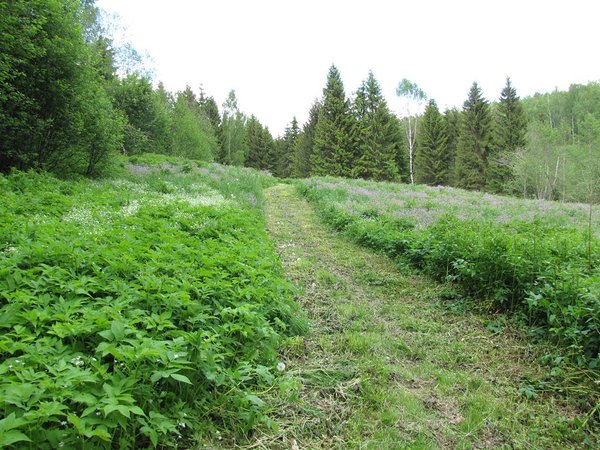
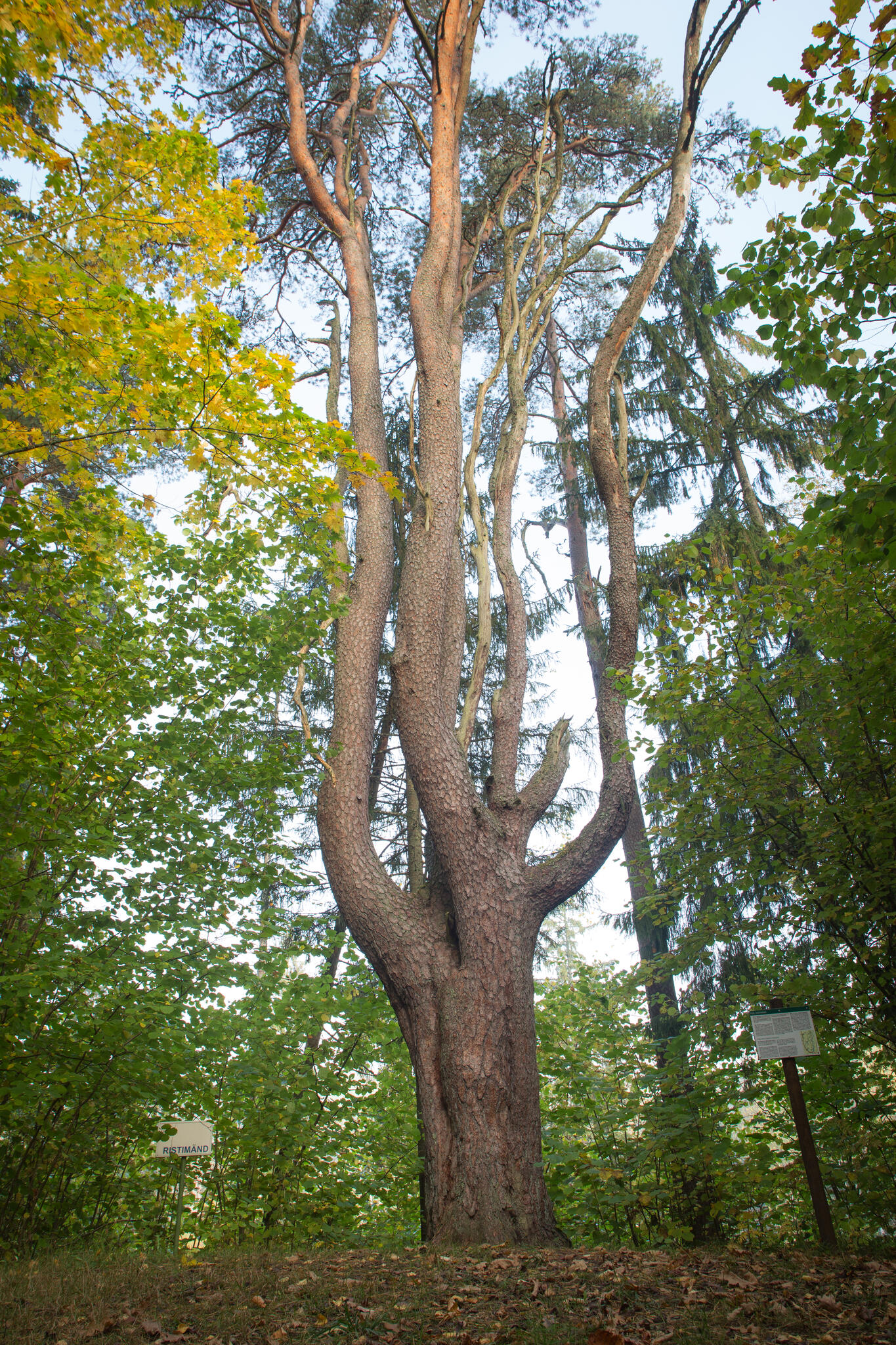
| Sights | Primeval valley of the Ahja river, Merioone sandstone outcrop and spring, magnificent ancient trees |
| Additional information |
|
| Restrictions | The trail is situated in Tilleoru Landscape Protection Area,
information about restrictions
can be obtained from the Environmental Board (+372 662 5999, info@keskkonnaamet.ee). |
| Location | In Tilleoru Landscape Protection Area, Varbuse village, Kanepi municipality, Põlva County. Object no 37 on the recreation area map. |
| Driving directions | Drive along Põlva-Reola Road towards Põlva. From Ihamaru intersection continue straight ahead for about 5.6 km, past the Road Museum. Park the car on the right side of the road, next to the hiking trail information board. The hiking trail starts opposite the board, on the left side of the road. |
| Geographic coordinates | Long-Lat WGS 84 latitude: 58.013982 longitude: 26.920035 |
| L-EST 97 x: 6434048.5 y: 672547.7 |