Oru park
Ida-Viru County, Northern Shore of Lake Peipus Recreation Area
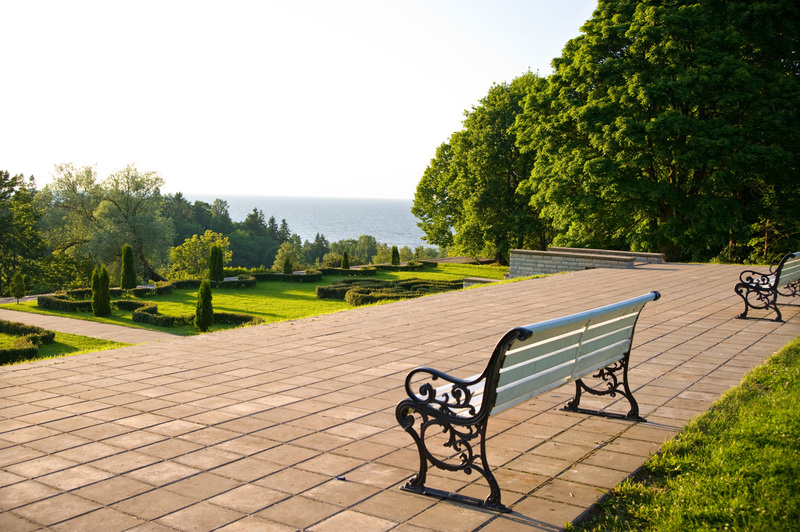
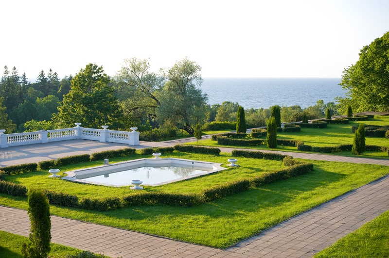
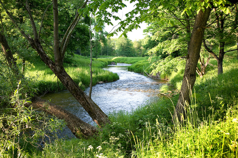
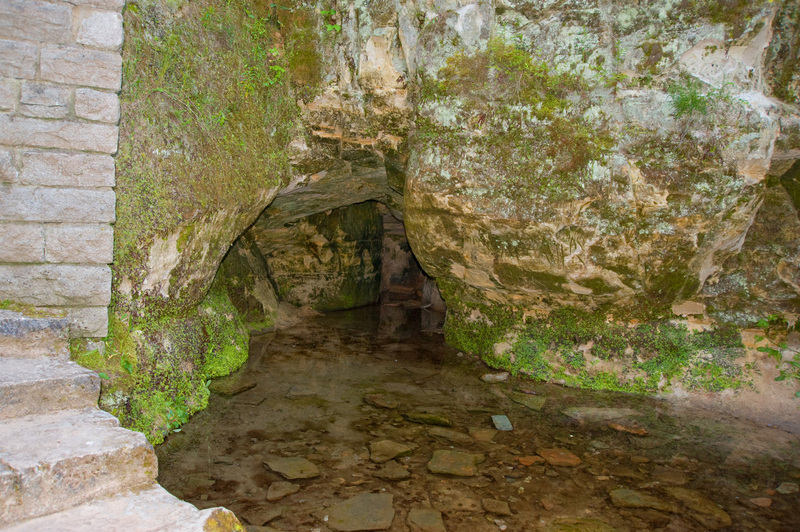
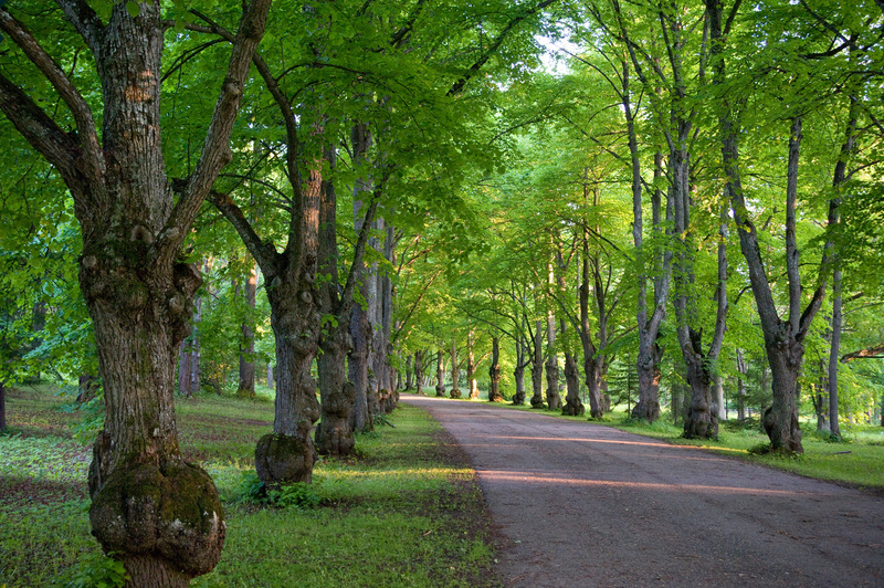
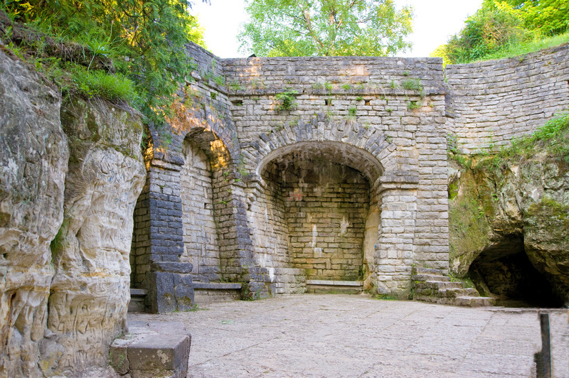
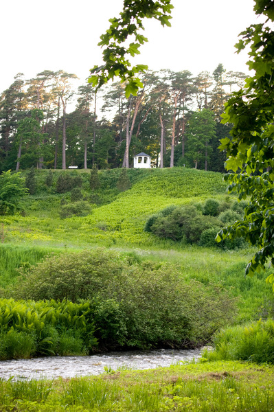
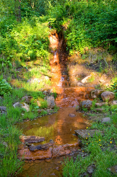
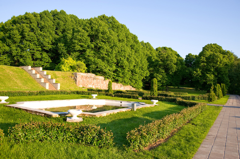
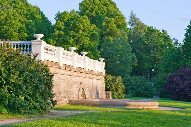
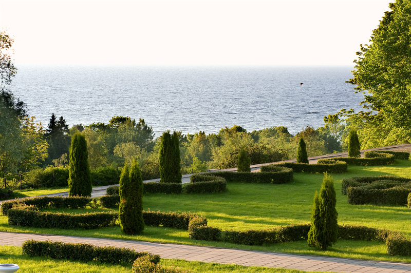
Oru park is located in Pühajõe river valley at the mouth of the klint bay on a sandstone cliff. Varied terrain with the seaside plain, Neide cliff and Pühajõe valley slopes make the landscape in the park extremely diverse and scenic. Here you can see high limestone cliff, the floodplain, the terraced slope of the valley at the edge of the cliff, the limestone plain and the deep sandy sea bottom. Thanks to the varied natural landscape, wonderful and interesting views open from the park on the neighbourhood, the sea, and the park itself.
| Phone | +372 5681 5722 |
| info.alutaguse@rmk.ee | |
| Type of object | Other |
| Parking facilities | In
Toila town, at the intersection of Mere puiestee and Rannatee Street, the bus
station and parking area is on the left. |
| Wheelchair accessibility | It is possible to enter the park in a wheelchair from the Karu gates parking lot along the lime tree alley. From the direction of Toila trough the Oru parking lot, along the light traffic road. Access to the entire castle grounds is guaranteed in the park. There is no wheelchair access to the ponds and Hõbeallika Spring Cave and there is no inva-toilet. |
| Hiking options |
Green energy trail of Oru Park, starting above Hõbeallika Spring. The trail was co-financed by the Estonian EU external border programme.
|
| Sights | Oru Park
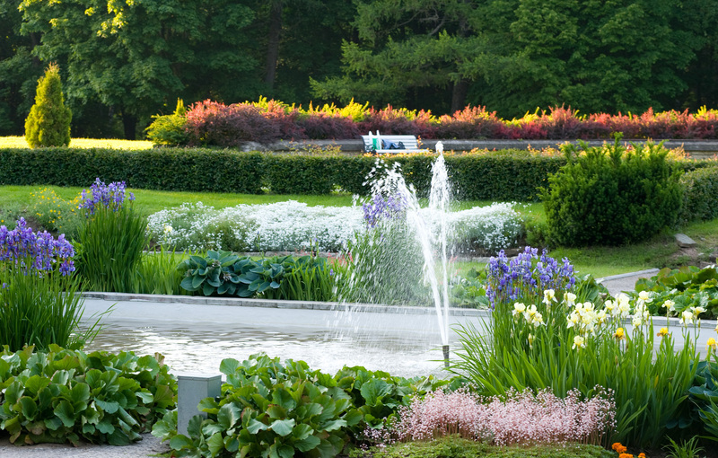
is one of the most popular tourist attractions with the highest species
diversity and the most diverse terrain in northern Estonia. Over the 75 hectare
area, you can find 258 different species of trees and shrubs, varieties or
types, most of which are of ecdemic origin. Among these are, for example,
Siberian pine, Dutchman’s pipe, Euro-american hybrid poplar, sweet birch,
Katsura, Douglas fir, the Manchurian walnut, and many other rarities. |
| Restrictions | Constitutes
the Oru Park Landscape Reserve, view the restrictions on visiting here. Additional information from the Environmental Board: +372 662 5999, info@keskkonnaamet.ee.
According to the nature conservation rules, motorised vehicle traffic is prohibited outside the roads and paths. Use only designated sites for campfires and make sure that there are no restrictions due to wind or dry conditions. |
| Location | Toila
town, Toila municipality |
| Driving directions | Drive
along Tallinn–Narva road. Proceeding from Jõhvi towards Narva, right after crossing
the bridge over the Pühajõgi River, there is a sign pointing to Toila. Drive
5.4 km to the town of Toila. Drive along the Mere puiestee to the entry to the
Oru Park, the bus station and parking area is on the left. The second entrance "Karu gates" (coordinates BL: 59.418692, 27.531043). |
| Geographic coordinates | Long-Lat WGS 84 latitude: 59.420772 longitude: 27.519553 |
| L-EST 97 x: 6592229.2 y: 699726 |
