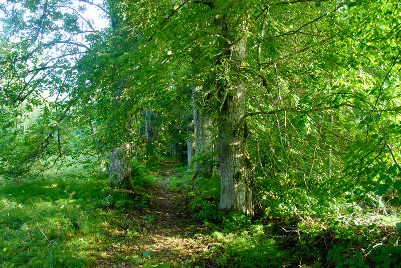
Lilli study trail (2.9 km)
Viljandi County, Sakala Recreation Area
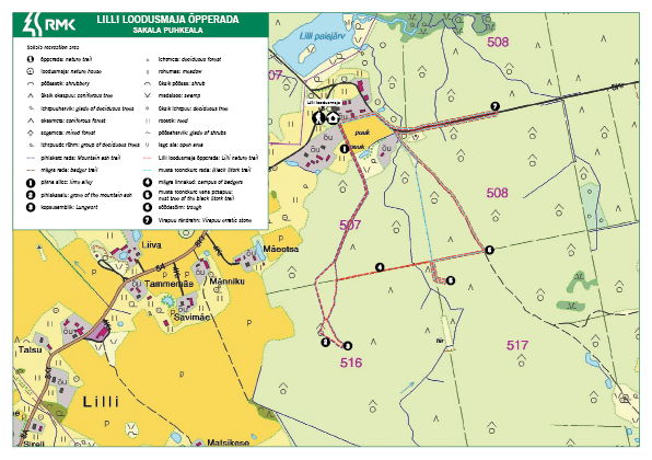
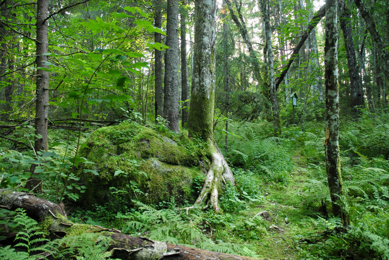
The trail has been prepared mainly for conducting the study programmes of Lilli Nature House, and one can go it through by smaller sections. One of the most frequently visited sections of the trail is the rowan tree stand with the “witch’s rock” and the site where the tree lungwort (Lobaria pulmonaria) grows, about 1 km from the start. The start of the trail is impressive – after the huge larch trees in the park the hiker is guided to a path lined by 150-year old lime trees. With the help of the map it will be easier to find the former nest tree of the black stork, the Virapuu rock and the place where the half-a-metre beard lichens (genus Usnea) grow.
| Phone | +372 526 1924 |
|
info.soomaa@rmk.ee
| |
| Type of object | Study trail |
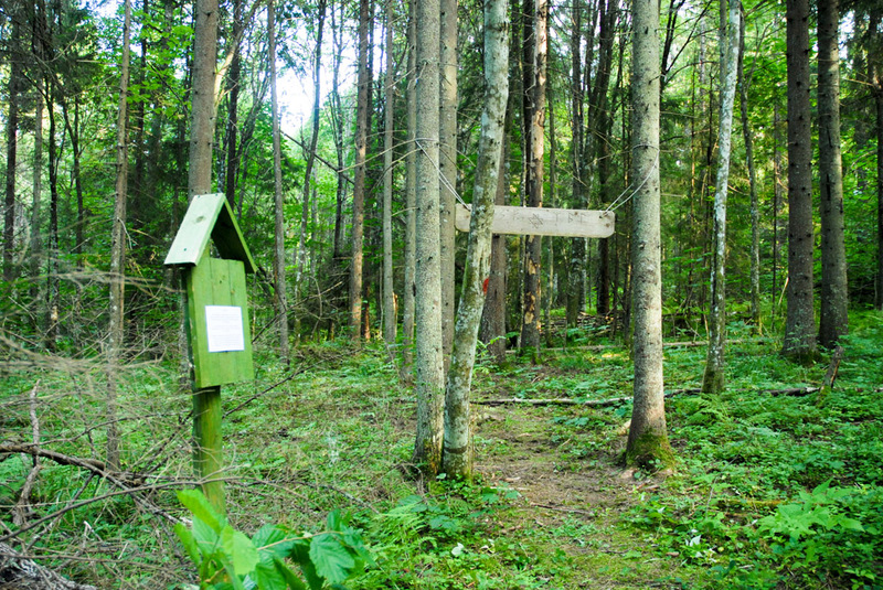
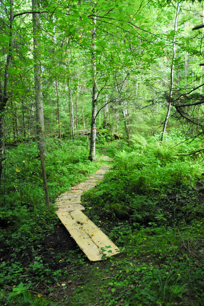
| Amenities | The trail is covered with wood chips and partly boardwalk, with 11 information boards along the trail. The trail map is available in the information point. |
| Hiking options | yes |
| Sights | The park established by the forester of Polli manor, and tree-lined pathways, habitat of the tree lungwort, rowan-tree stand, former nest tree of the black stork, Virapuu erratic boulder and the artificial lake of Lilli. |
| Additional information |
|
| Location | Trail starts near Lilli Nature House in Lilli village, Karksi municipality, Viljandi County. Object no.30 on the recreation area map. |
| Driving directions | Drive along Valga–Uulu road and after the sign of Karksi-Nuia (if coming from Valga) turn left (follow the sign “Lilli 12 km”). When coming from the direction of Pärnu, drive straight through the town of Karksi-Nuia towards Valga and before the town border follow the sign “Lilli 12 km”. Drive 11 km to the Metskonna bus stop, where the sign “Lilli loodusmaja 0,4” directs to the left. Go past the lake. On the hill there is a parking space for 5 cars and an information board with trail description. To get to the study trail go about 40 m through the park in front of the Nature House to the pathway lined with lime-trees, where the first information board of the trail can be found. |
| Geographic coordinates | Long-Lat WGS 84 latitude: 58.002332 longitude: 25.554101 |
| L-EST 97 x: 6430059 y: 591884 |
