


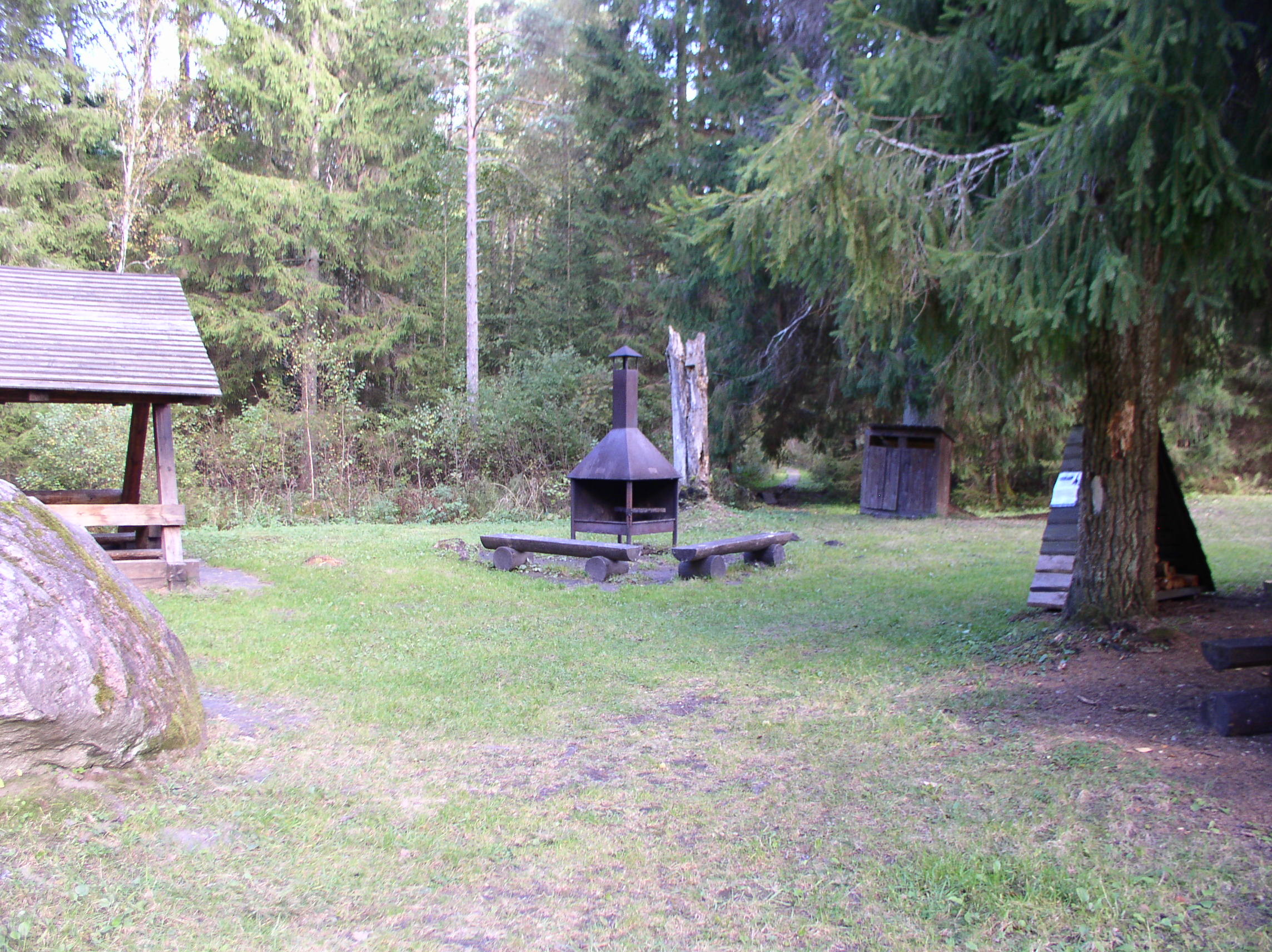

Lõhavere campfire sites
Võimalused
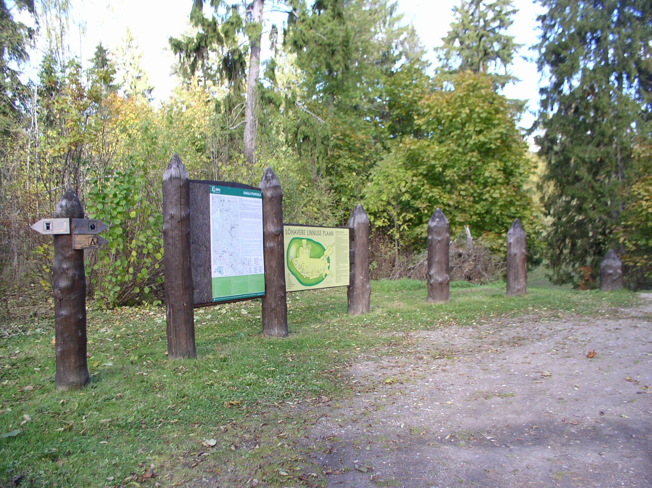
Parking
Parking for 20 cars, 3 buses.
Amenities
In the parking area an outdoor fireplace, large shelter, information board, dry toilet. In the surrounds of the hill fort there is a outdoor fireplace, two picnic tables with shelters. There are two sets of stairs to the hill fort, and 60 m boardwalk leading to an unmarked forest path.
Outdoor Fireplace
1 outdoor fireplace
Sights
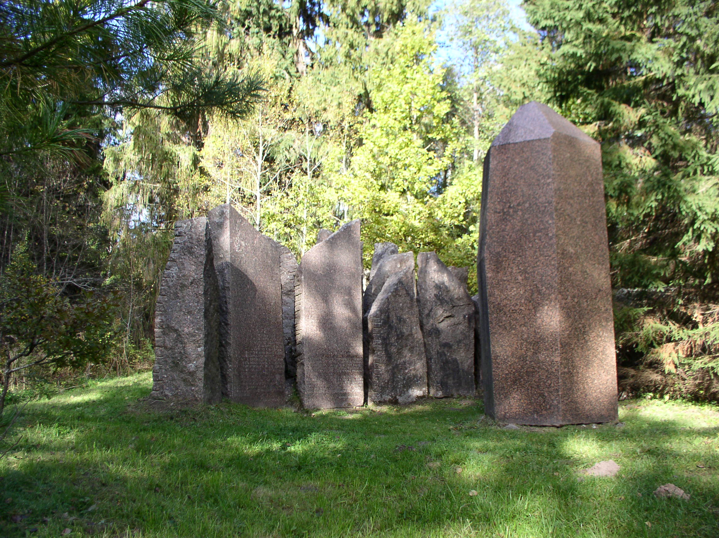
It is the only ancient hill fort that can be associated with a historical person: Lembitu, the elder of North Sakala, who perished on 21 September 1217 in the Battle of St. Matthew’s Day. Lõhavere hill fort was used at the beginning of the 13th century. The monument of the ancient fight for freedom in memory of the Battle of St. Matthew’s day stands near the hill fort.
Additional Information
Before going on a nature walk please read the Environmental code of conduct, rules of conduct and waste-sorting policy
Long-Lat WGS 84
Latitude: 58.549408
Longitude: 25.513843
L-EST 97x: 588129
L-EST 97y: 6490921