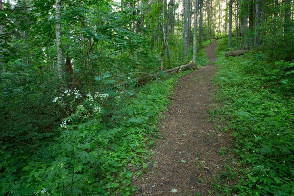
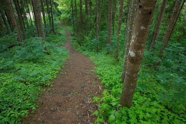
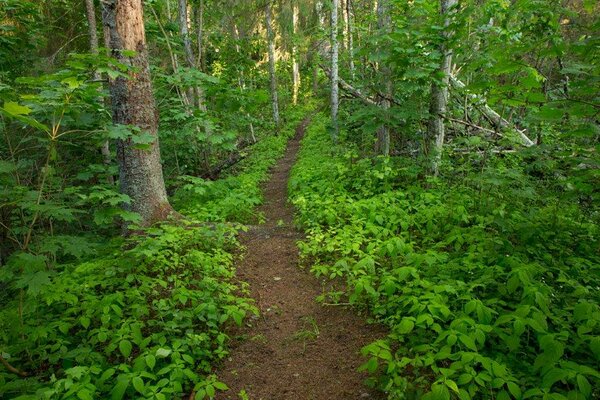
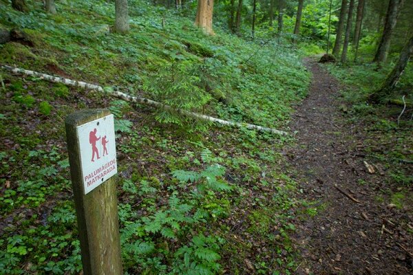
Palumägede hiking trail (1 km)
Tartu County, Tartu–Jõgeva Recreation Area
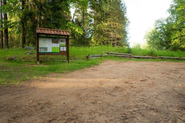
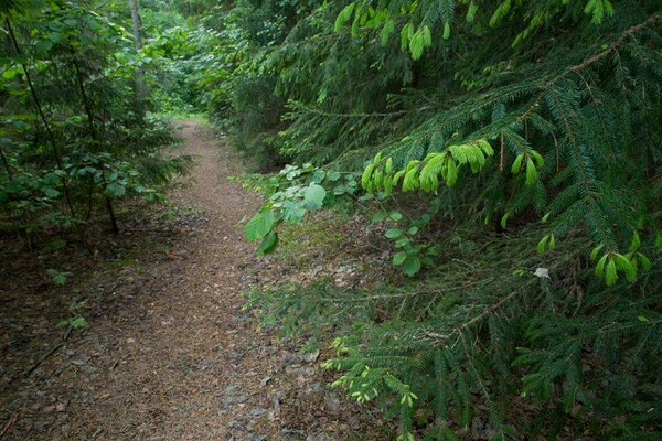
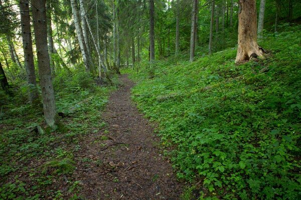
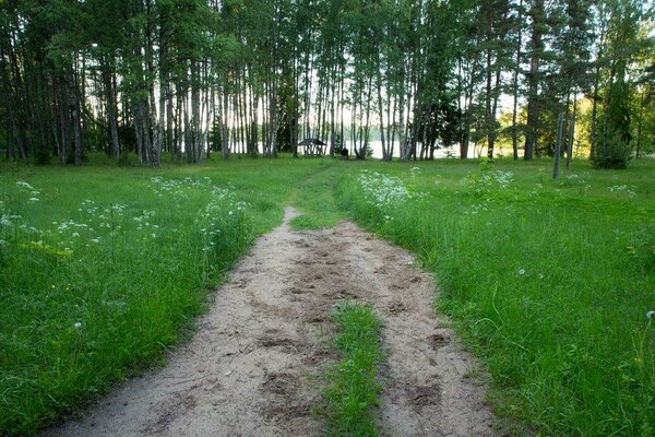
The kilometre-long hiking trail with many ups and downs starts from the second Palumägede parking area and offers versatility for visitors enjoying a lakeside holiday.
| Phone | +372 676 7122 |
| info.kiidjarve@rmk.ee | |
| Type of object | Hiking trail |
| Parking facilities | The first parking area for 1 bus or 2 cars, the parking area at the information board for 10 cars. |
| Amenities | 1 large information board, (8) trail signs along the hiking trail. |
| Camping facilities |
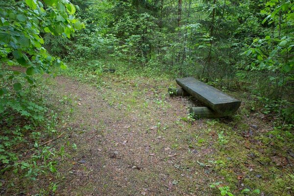
Camping at Palumägede campfire site. |
| Outdoor fireplace |
Outdoore fireplace
|
| Hiking options | walking |
| Sights | Lake Pangodi and the surrounding kames. |
| Additional information |
Before going on a nature walk please read the Environmental code of conduct (freedom to roam), rules of conduct and waste-sorting policy
|
| Restrictions | The hiking trail is situated in Pangodi Landscape Protection Area. Camping and making campfire is allowed in designated places only. Planning public events with more than 50 participants and use of motorised vehicle on the lake requires prior consent from the protected area manager (the Environmental Board +372 662 5999; info@keskkonnaamet.ee). The use of bicycles and motorised vehicles is prohibited outside roads and paths. Parking motorised vehicles outside designated areas is prohibited. |
| Location | Kambja municipality, Tartu County. Object no 49 on the recreation area map. |
| Driving directions | Drive 13 km from Tartu towards Võru, turn right towards Otepää, drive 10 km, turn left at the Kodijärve manor park, drive 1.4 km and turn left (at the wooden sign “Palumäed”). The bus must be left in the first parking area, walk 800 m to the second parking area. The trail starts and ends at the information board. |
| Geographic coordinates | Long-Lat WGS 84 latitude: 58.190658 longitude: 26.573663 |
| L-EST 97 x: 6452873 y: 651336 |