


RMK puidupakkumiselt väljusid edukana VKG Fiber ja Biojet
28.03.2025
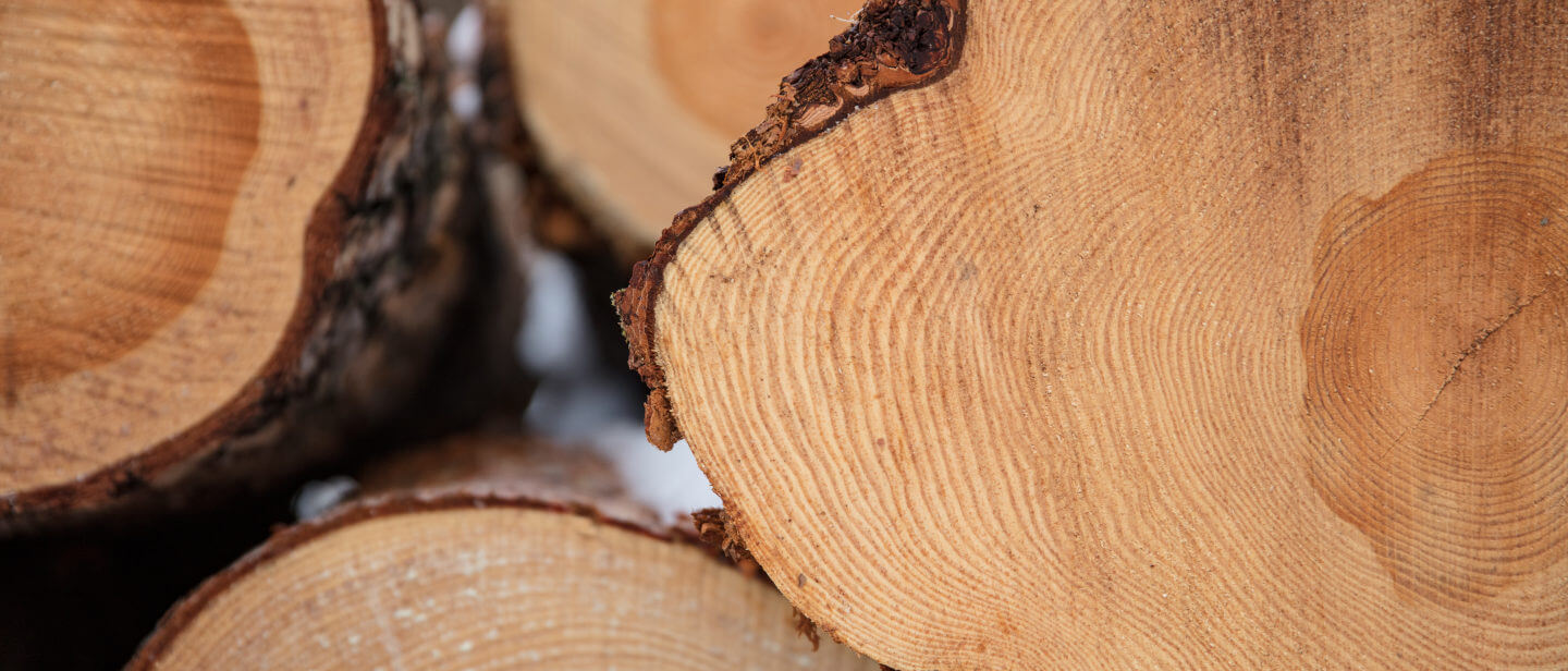
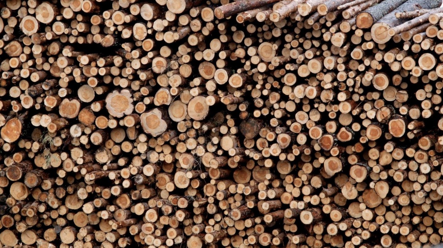
Reedel lõppenud RMK puidupakkumisel, mille eesmärk on toetada puidu biokeemilise väärindamise tehase rajamist Eestisse, tegid eduka hinnapakkumise VKG Fiber OÜ ja Biojet AS.
28.03.2025
Reedel lõppenud RMK puidupakkumisel, mille eesmärk on toetada puidu biokeemilise väärindamise tehase rajamist Eestisse, tegid eduka hinnapakkumise VKG Fiber OÜ ja Biojet AS.
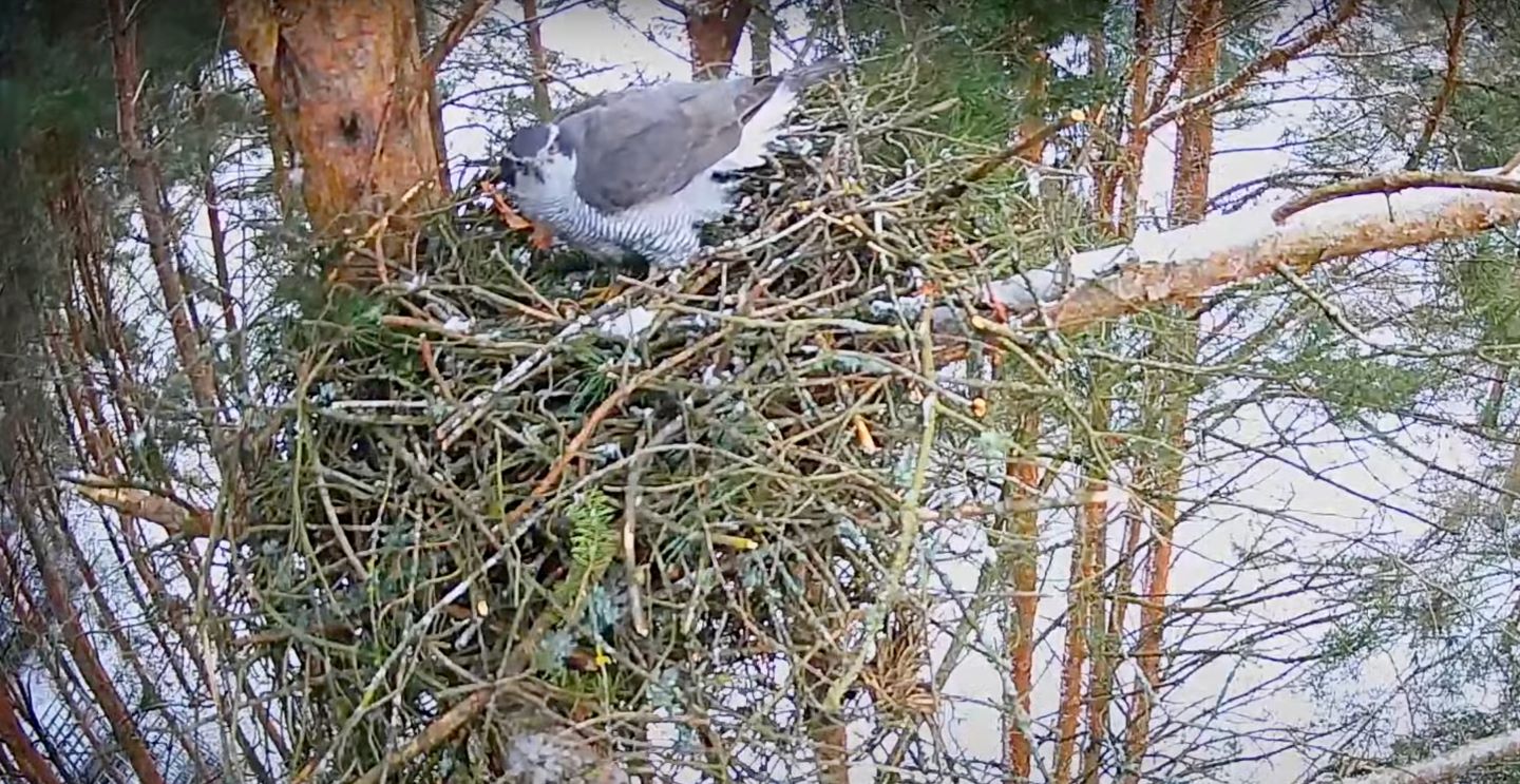
21.03.2025
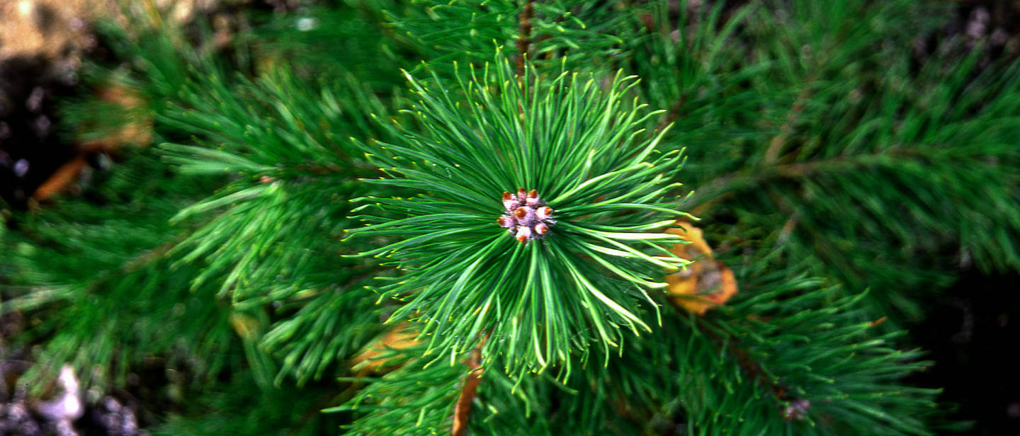
Kuulsust kogunud kanakullipaar Alla ja Ruudi sätib end ka sellel kevadel Tartu RMK taimlasse pesitsema. Nad on jäänud kindlaks eelmisel aastal männilatva ehitatud pesale ning aega-ajalt saab neid seal juba silmata.
13.03.2025
Paljude mai alguses Sagadisse RMK strateegiapäevale kogunenute nägudelt paistis mõisa saali astudes imestust, sest ruum polnud üldse sellise ilmega, nadu tavapäraselt harjutud oli.