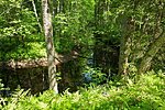
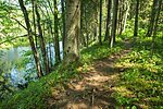
Poruni hiking trail (5 km)
Ida-Viru County, Alutaguse National Park
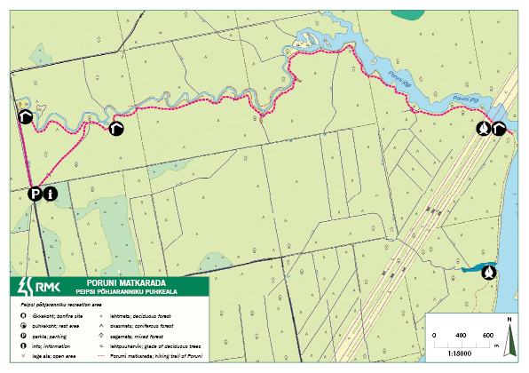
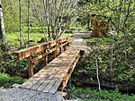
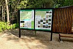
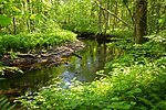
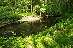
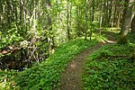
The 10 km (back and forth) Poruni hiking trail runs along the banks of the Poruni River to the Narva River and returns to the starting point from there. 12 information boards have been placed along the trail. They introduce the nature of the region, the floodplain forest, native broad-leaved forest, draw attention to the geological formations sometimes exposed on the banks of the river and the military history that characterizes the region.
Poruni hiking trail is marked with blue painted rectangles on trees and metal signposts.
Poruni hiking trail is marked with blue painted rectangles on trees and metal signposts.
| Phone | +372 5681 5722 |
| info.alutaguse@rmk.ee | |
| Type of object | Hiking trail |
| Parking facilities | Parking
for 10 cars |
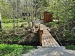
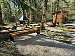
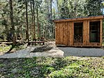
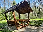
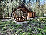
| Amenities | 2 covered fireplaces with grillrest, 3 information stands, 12 information boards,
lean-to shelter, 2 firewood shelters, 3 dry toilets |
| Camping facilities | yes |
| Campfire site | yes |
| Water |
Water from Poruni river
|
| Hiking options | yes |
| Sights | Poruni
River, primeval forest, the legacy of military operations, Puhatu bogs |
| Additional information |
Before going on a nature walk please read the Environmental code of conduct (freedom to roam). |
| Restrictions |
The
campfire site is situated in Puhatu Nature Reserve. Information about restrictions can be obtained from the Environmental Board: +372 662 5999, info@keskkonnaamet.ee
|
| Location | Alutaguse municipality, Ida-Viru County |
| Driving directions | Drive
36 km on Jõhvi–Vasknarva road, turn left (at the sign to the Poruni hiking trail).
Drive 12 km to the border guard station, turn left (follow the sign at the
junction) and drive 4 km to the road barrier. The parking area is to the left;
here you can leave your car. Walk about 400 m forward and find the start of the
Poruni hiking trail on the left. NB! When driving from Narva direction, Google Maps offers a trip trough Auvere, which is a wrong way. The only way to access the hiking trail is from Jõhvi–Vasknarva road.
|
| Geographic coordinates | Long-Lat WGS 84 latitude: 59.1743389 longitude: 27.7975472 |
| L-EST 97 x: 717038.7 y: 6565680.9 |
