Selisoo hiking trail (4 km)
Ida-Viru County, Alutaguse National Park
Restoration work on the water regime of Selisoo has begun and will continue until the spring of 2025. As part of this, the decayed boardwalk near Suurlauka will also be reconstructed. The old boardwalk will be removed in September, and the new one is expected to be completed by the end of November. We ask you to be cautious in the work area and, if possible, avoid planning visits to the trail in the vicinity of the work.
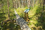
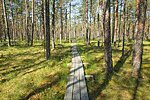
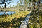
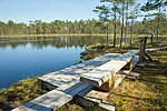
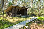
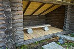
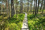
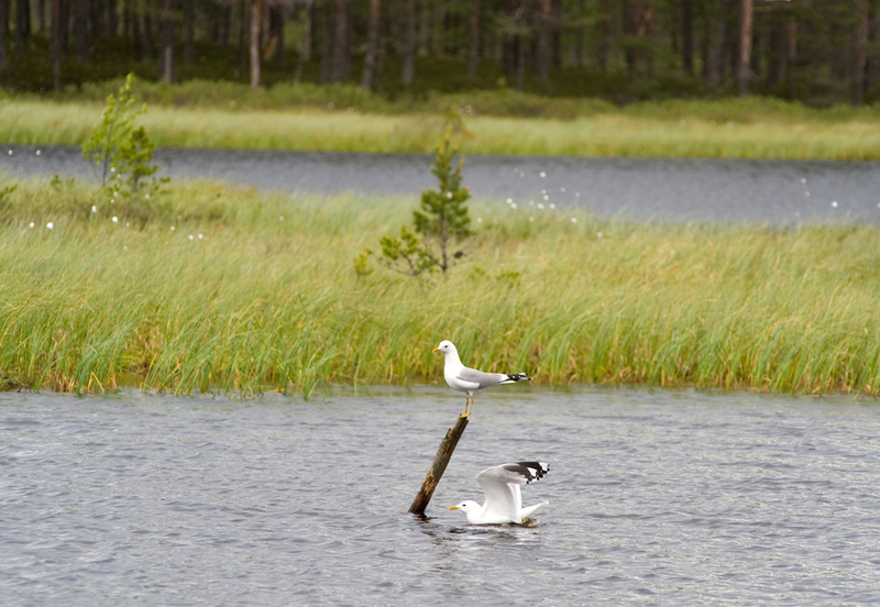
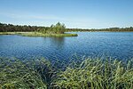
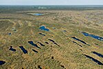
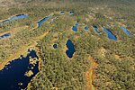
The trail introduces different marsh types, rich vegetation, and numerous pools and wet patches of different sizes, which form scenic wetland systems. The pavilion on the trail provides shelter for hikers.
| Phone | +372 5681 5722 |
| info.alutaguse@rmk.ee | |
| Type of object | Hiking trail |
| Parking facilities | Parking
for up to 6 cars |
| Amenities | Map of
the trail, 2 campfire sites, dry toilets. |
| Camping facilities | yes |
| Campfire site | yes |
| Hiking options | yes |
| Sights | The
trail introduces various bog types (transition mire, raised bog, wooded mire),
rich flora and numerous bog hollows and bog pools of different sizes, forming
picturesque groups. |
| Berries and mushrooms | Cranberries, cloudberries, bilberries, milk-caps |
| Additional information |
The object is equipped with firewood. Before going on a nature walk please read the Environmental code of conduct (freedom to roam). |
| Restrictions | The trail is situated in Selisoo Nature Conservation Area (1,543 ha), it is also a Natura 2000 site. Motorised vehicle traffic is prohibited outside roads and paths. Campfires can be made only in designated sites. |
| Location | Alutaguse municipality, Ida-Viru county Object no. 4 on recreation area map |
| Driving directions | In
Väike-Pungerja, turn towards Tartu at the junction to Estonia Mine, drive 300 m
and follow the sign indicating 3 km to the Selisoo hiking trail. |
| Geographic coordinates | Long-Lat WGS 84 latitude: 59.170928 longitude: 27.296663 |
| L-EST 97 x: 6563787.62 y: 688455.38 |
