Kiidjärve-Taevaskoja-Kiidjärve hiking trail (11,8 km)

NB! Since March 4, the dam bridge of the Saesaare hydroelectric station has been CLOSED for renovation. The trails have been rerouted over the Väikse Taevaskoja bridge.
Due to the spring flood, we recommend using waterproof shoes when walking on the hiking trail!
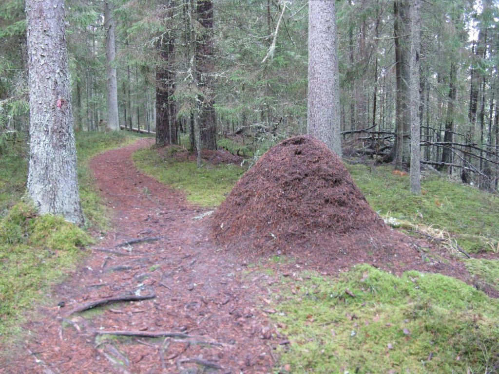
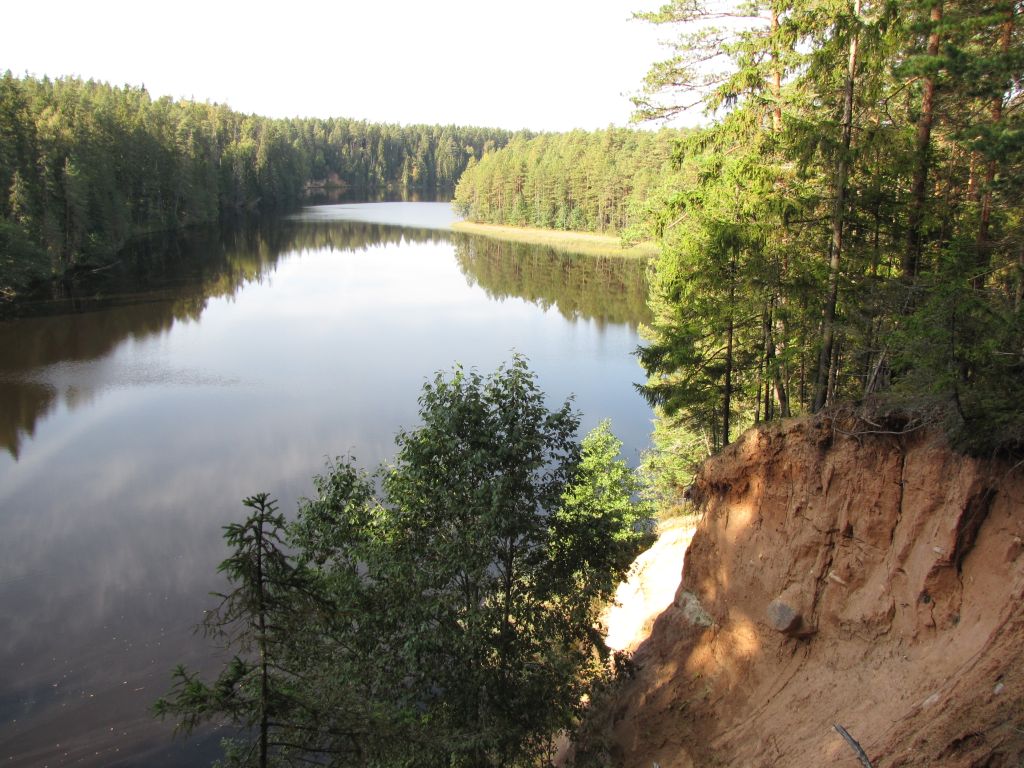
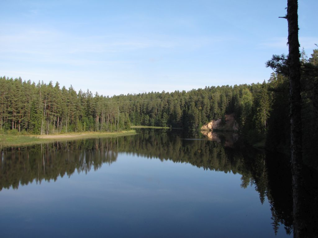
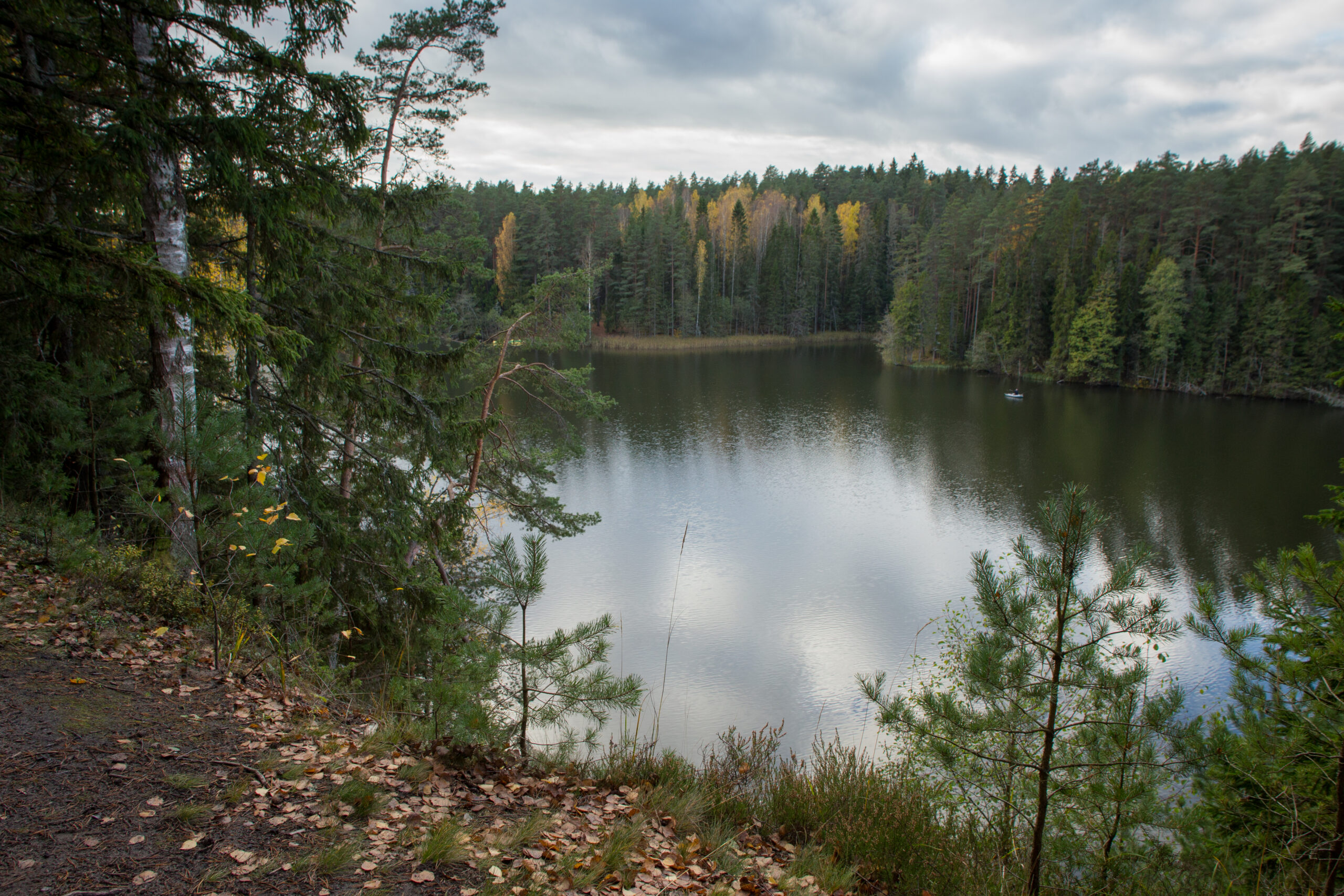
The 11,8 km trail starts and ends next to Kiidjärve Visitor Centre and runs along the picturesque bank of Ahja River up to Saesaare weir and bridge and comes back along the ohter bank of the river. The hiking trail is marked with blue dots on signposts and trees.
The trail is only for walking!
Phone+372 676 7122
E-mail info.kiidjarve@rmk.ee
Type of objectHiking trail
Parking facilitiesParking for 10 cars in the Visitor Centre`s parking lot.
AmenitiesThe hiking trail map is available at the Kiidjärve Visitor Centre.
Camping facilities Sõnajala campfire site is on the trail.
Outdoor fireplace yes
Hiking options The trail is only for walking!
Berries and mushroomsBlueberries, mushrooms
Additional information
RestrictionsThe trail is located in the Ahja River Valley Landscape Protection Area. Information about restrictions can be obtained from the Environmental Board (+372 662 5999, info@keskkonnaamet.ee).
LocationKiidjärve village, Põlva municipality, Põlva County. Object no 11 on the recreation area map.
Driving directionsDrive from Tartu towards Põlva along the Põlva -Reola road. On Koorvere crossroad, 10 km before Põlva, turn to the left towards Kiidjärve. Drive 4 km along Akste-Häätaru road (road nr 18138). There is Kiidjärve Visitor Centre`s parking lot on the left 0,6 km after the bus stop "Kiidjärve park". Move (ca 200 m) over the bridge (pass the house) until the signpost leads to the trail.
Geographic coordinatesLong-Lat WGS 84
latitude: 58.139355
longitude: 27.018740
L-EST 97 x: 6448256 y: 677748