

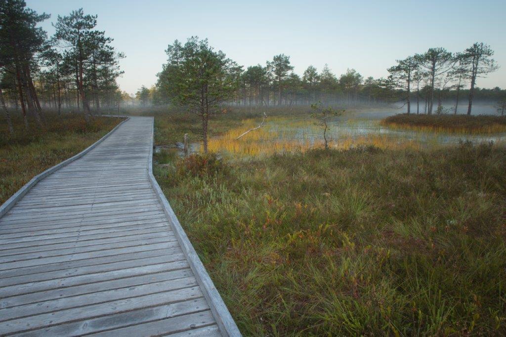


Meenikunno hiking trail (5.8 km)
Võimalused
Parking
Parking in Liipsaare or Päikeseloojangu (BL: 57.946226, 27.330847; L-EST 97 x: 6427642 y: 697179) parking areas.
Amenities
There are 13 information points introducing the bog and forest along the trail. There is an observation tower on the Liipsaare end of the hiking trail.
Wheelchair Accessibility
The trail is accessible by wheelchair (also with pram) ca 1,1 kilometres (from the Päikeseloojangu rental hut).
Hiking Options
by walking
Outdoor Fireplace
Outdoor fireplace
Berries-mushrooms
Bilberries, cowberries, cranberries, mushrooms
Additional Information
Before going on a nature walk please read the Environmental code of conduct, rules of conduct and waste-sorting policy
Files
A brochure of the Landscape Protection Area was issued by Environmental Board.
Download PDF.
Restrictions
The hiking trail is situated in the Meenikunno Landscape Protection Area. Further information can be obtained from the Environmental Board +372 662 5999, info@keskkonnaamet.ee
Long-Lat WGS 84
Latitude: 57.932105
Longitude: 27.310046
L-EST 97x: 696026
L-EST 97y: 6426011