Lemmjõe forest study trail (5.8 km)
Viljandi County, Soomaa National Park
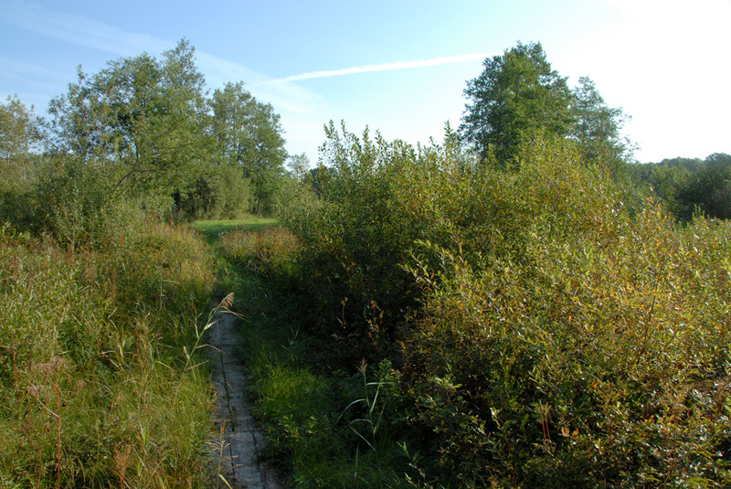
Due to heavy rains and meadow management, the northern part of the trail has become impassable.
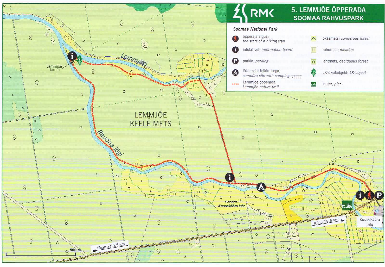
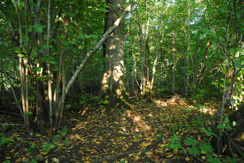
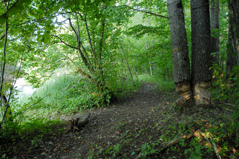
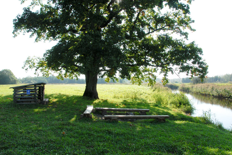
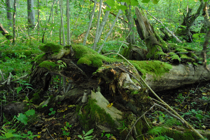
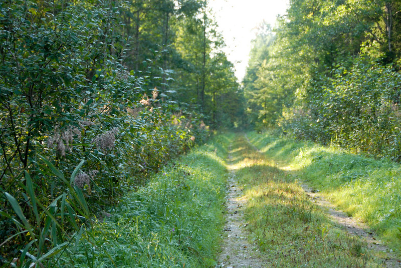
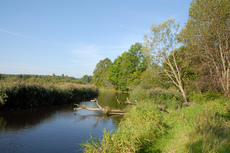
The trail goes along the bank of the Raudna River up to the place where the Raudna and Lemmjõgi rivers join. Next the trail runs along the bank of the Lemmjõgi River and ends at Kuusekäära again. The “keelemets” is an often flooded floodplain forest by the Lemmjõgi River. Traces of beaver activity can be seen near the study trail.
| Phone | +372 526 1924 |
|
info.soomaa@rmk.ee
| |
| Type of object | Study trail |
| Parking facilities | Parking area for 7 cars. |
| Amenities | Along the trail there is a fire ring with barbecue grill, firewood shelter, dry toilet, information boards |
| Camping facilities |
The maximum number of tents (for 4) allowed is 5. |
| Campfire site | Fire ring with a grill. |
| Hiking options |
by walking |
| Sights | Raudna River, Lemmjõgi forest, oak tree, Lemmjõe forest keeper’s office. |
| Additional information |
|
| Restrictions | In the territory of the National Park certain restrictions. Further information can be obtained from the Environmental Board (+372 662 5999, info@keskkonnaamet.ee). |
| Location | Sandra village, Põhja-Sakala municipality, Viljandi County. Object no 5 on the national park map. |
| Driving directions | When coming from Tallinn–Tori, along Kõpu–Jõesuu road up to the junction at 24 km and turn towards Kildu. Then drive 5.5 km to Kuusekäära, the parking area and sign directing to Lemmjõgi study trail and campfire site. When coming from Viljandi-Suure-Jaani-Vändra, drive from Kildu village 19.6 km towards Soomaa National Park, to Kuusekäära, the parking area and sign directing to Lemmjõgi study trail and campfire site. Attention! In winter and during floods the road may not be easily passable by car. |
| Geographic coordinates | Long-Lat WGS 84 latitude: 58.441736 longitude: 25.110777 |
| L-EST 97 x: 6478471.5 y: 564865.7 |
