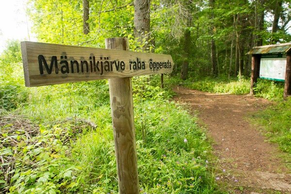
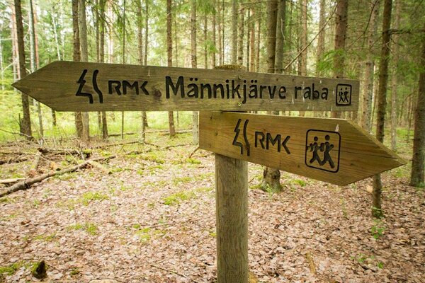
Männikjärve bog study trail (7.3 km)
Jõgeva County, Endla Nature Reserve
- Follow the indication in the nature as Tooma Horse Farm`s territory is closed.
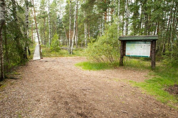
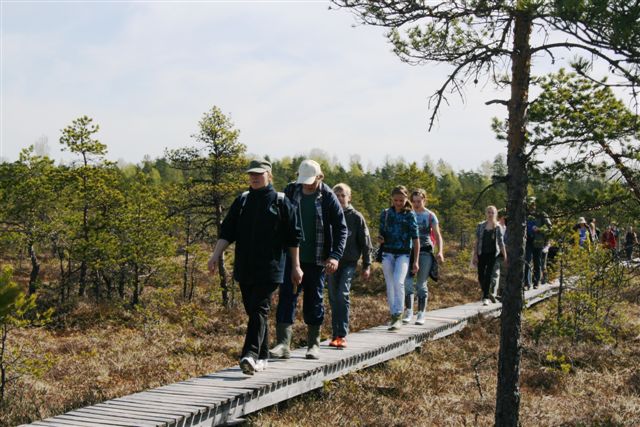
The trail starts and ends at Tooma. On average, it takes 2 hours to walk the trail.
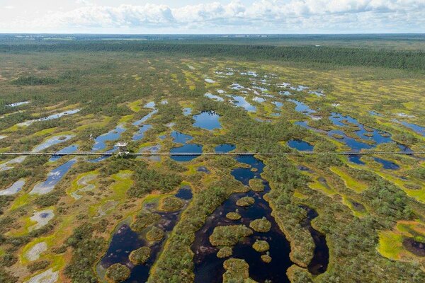
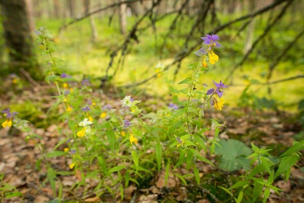
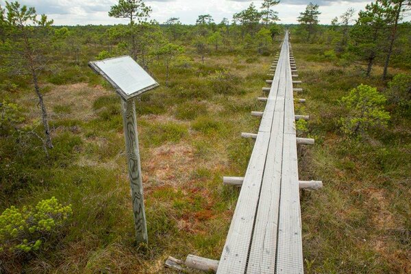
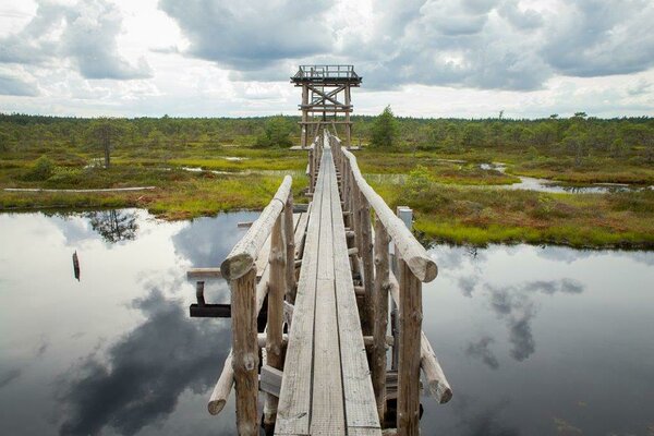
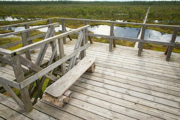
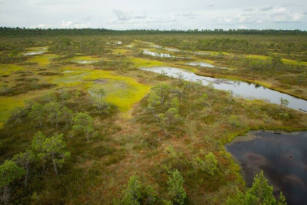
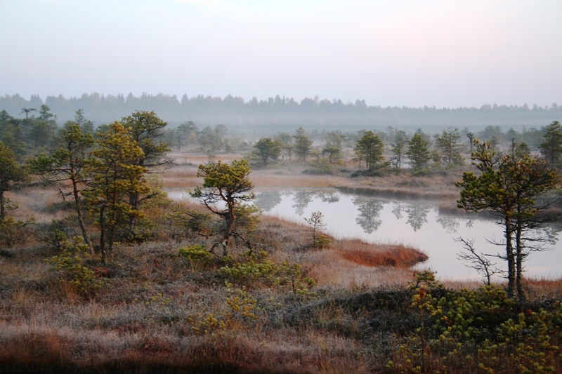
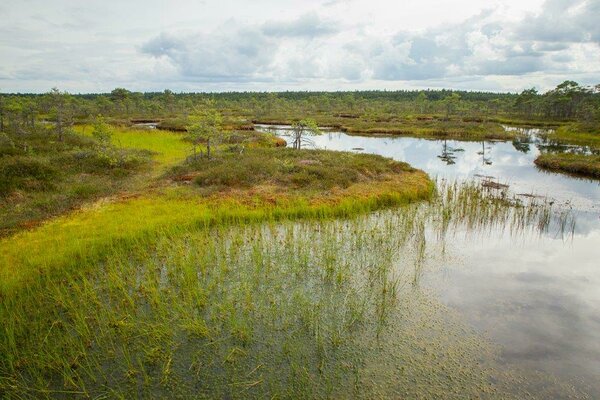
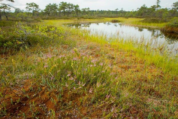
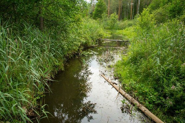
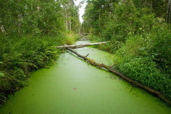
The entire 210-hectare Lake Männikjärv bog is visible from the 7-metre observation tower built at the study trail. There are more than 120 pools located in a curve around the paludification centres of Lake Männikjärv bog.
| Phone |
+372 676 7030
|
| info.elistvere@rmk.ee | |
| Type of object | Study trail |
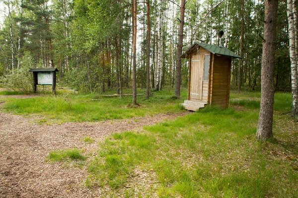
| Parking facilities | Parking for 10 cars and 2 buses in the centre of Tooma. |
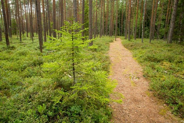
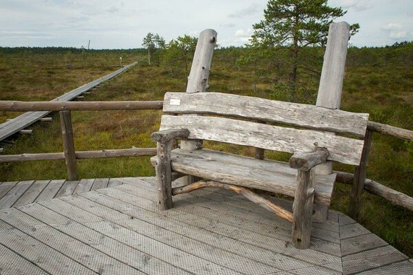
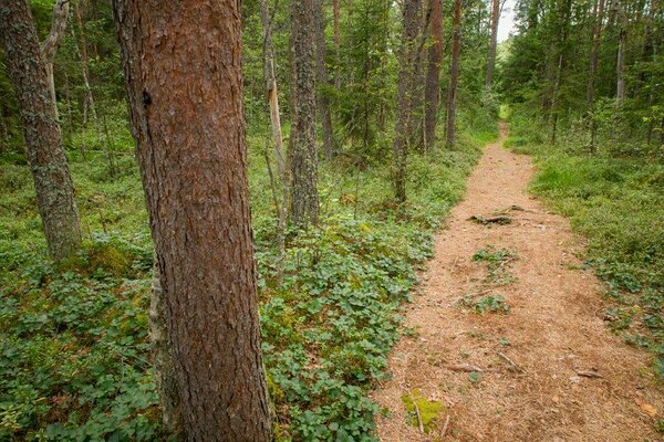
| Amenities | 1.3 km boardwalk, 7 m observation tower, 13 information boards, 2-stall toilet, 5 bridges, the trail is marked with blue spots on the trees.
|
| Hiking options | yes |
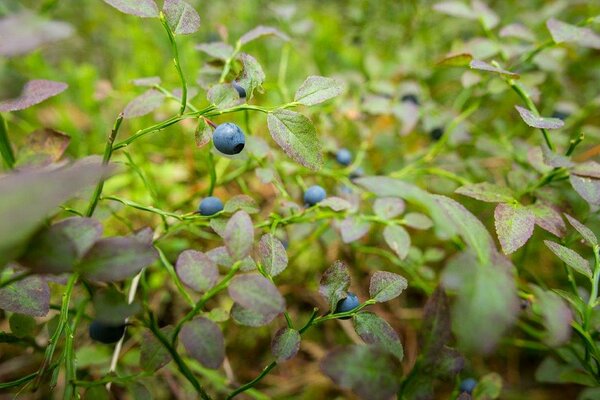
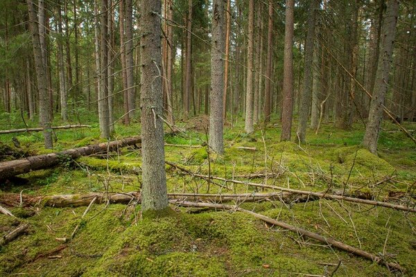
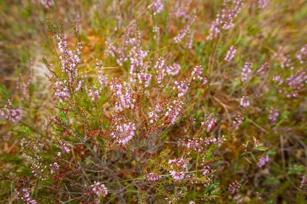
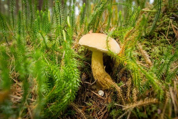
| Sights | Lake Männikjärv bog with all the species who are living there. The historical Tooma village, in which mire research in Estonia started in 1910. Since 1950 meteorological observations have been conducted and also the movement of water in the bog has been monitored here. |
| Additional information |
|
| Restrictions |
Situated in Endla Nature Reserve.
For going on Lake Männikjärv, organising public events with more than 20 participants, and driving an off-road vehicle, a permit must be obtained from protected area manager. Additional information from the Environmental Board: +372 662 5999, info@keskkonnaamet.ee. |
| Location | Jõgeva Municipality, Jõgeva County Object no 1 on recreation area map |
| Driving directions | The distance to Tooma from Tallinn is 143 km (along the Piibe road 136 km), from Tartu 72 km, from Rakvere 61 km, from Jõgeva 21 km. When coming from Tallinn, drive along Tallinn–Tartu road, turn left at Mäeküla towards Koeru, drive through Koeru and turn towards Tartu at Kapu junction. On Tartu–Rakvere road (66 km from Tartu, about 3 km from Vägeva towards Jõgeva) a brown sign directs you to Endla Nature Reserve. Turn right on the hill (follow the sign to the parking area) and drive ca 400 m to the parking area at the centre of Endla Nature Reserve. Follow RMK signs to the study trail. |
| Geographic coordinates | Long-Lat WGS 84 latitude: 58.876262 longitude: 26.272929 |
| L-EST 97 x: 6528553 y: 631072 |