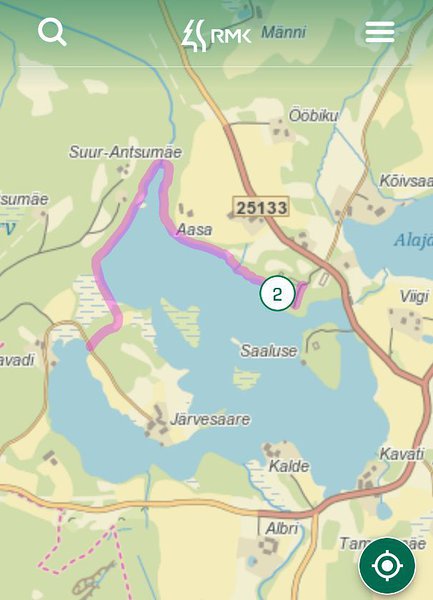
Lake Kavadi hiking trail (2.2 km)
Võru County, Haanja Nature Park
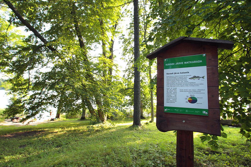
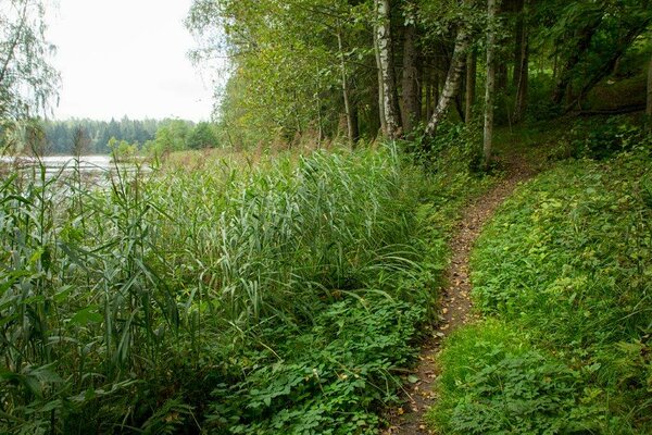
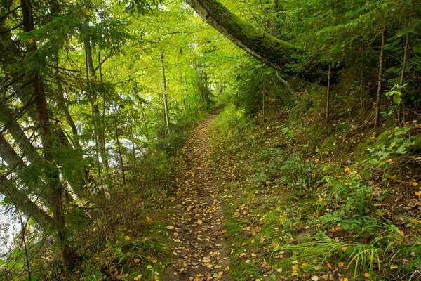
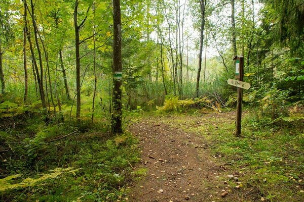
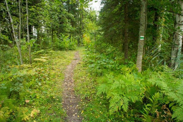
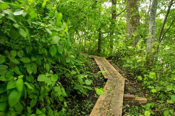
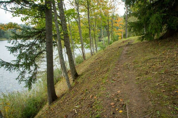
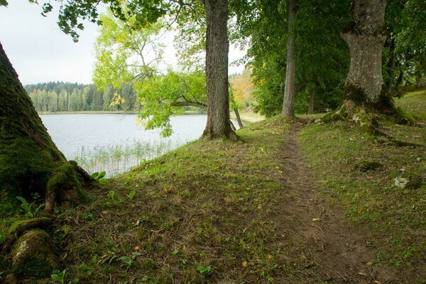
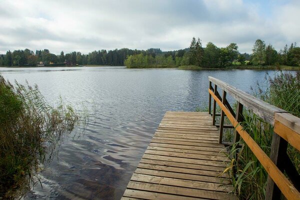
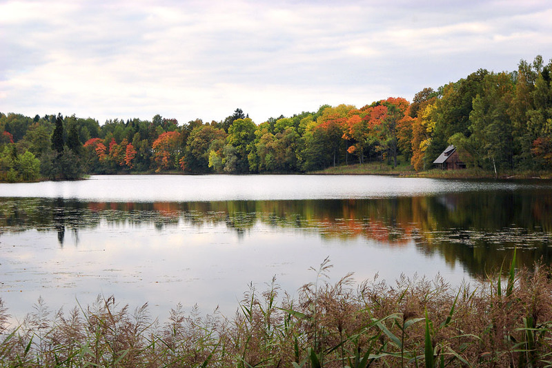
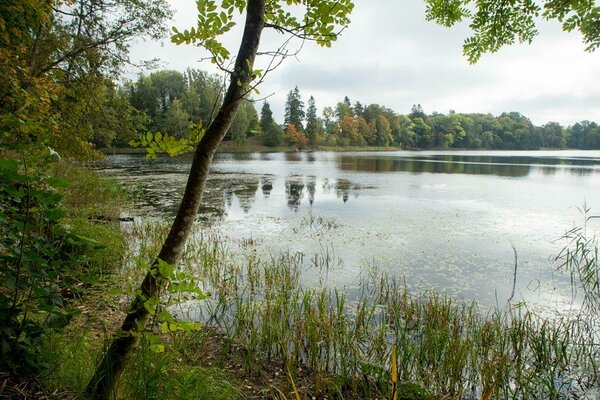
The pearl of the Haanja area – Lake Kavadi with its winding shoreline and numerous islands can justly claim the title of the most beautiful lake in Estonia. The hiking trail starts in Uue-Saaluse manor park, goes along the shore of Lake Kavadi to the road. The out-and-back trail is 2.2 km long, running on the shore path and in the forest. In autumn hikers can find cowberries, bilberries and several edible forest mushrooms near the trail. The trail is equipped with wooden signs and information boards. In Uue-Saaluse manor park there are 2 fire rings with barbecue grill, where it is possible to camp and swim and enjoy the magnificent view of Lake Kavadi.
| Phone | +372 501 9564 |
|
info.pahni@rmk.ee
| |
| Type of object | Hiking trail |
| Parking facilities | Roadside parking |
| Amenities | The trail starts in Uue-Saaluse manor park. The trail is equipped with wooden signs and information boards. Visitors can use 2 campfire sites with barbecue grills, shelter with table and benches, dry toilet. |
| Camping facilities |
The maximum number of tents (for 4) allowed is 4. |
| Campfire site | 2 campfire sites with barbecue grills |
| Hiking options |
walking |
| Sights | Uue-Saaluse manor park, Lake Kavadi – the pearl of the Haanja area, heritage landscape – small field plots on hill slopes alternate with forest stands, lakes and valleys. |
| Additional information |
|
| Restrictions | The trail is situated in Haanja Nature Park, about restrictions please read here. Further information can be obtained from the Environmental Board (+372 662 5999, info@keskkonnaamet.ee). |
| Files | The trail brochure was published by State Nature Conservation Centre in 2007. Download PDF. |
| Location | Uue-Saaluse village, Rõuge municipality, Võru County. Object no 7 on the nature park map. |
| Driving directions | On Võru-Haanja road, 9 km from Võru, turn left at the "Risttee"bus stop (sign “Uue-Saaluse 4 km”). Drive 4 km along the gravel road. Turn left (Räpo) on the next crossroad and continue 400 m on gravel road to the bridge (there is a lake on your left). After crossing the bridge and after the building on the right, there is an information board and signs on the left directing to the campfire site. |
| Geographic coordinates | Long-Lat WGS 84 latitude: 57.74590 longitude: 27.10477 |
| L-EST 97 x: 6404711.9 y: 684837.8 |