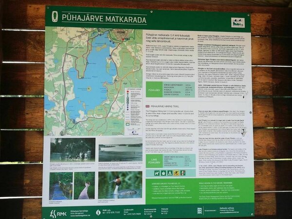
Lake Pühajärv hiking trail (14 km)
Valga County, Otepää Nature Park
Due to the filming of a promotional video at the Angunina 2 campfire site on the evening of August 19th, the visit to the campfire site may be temporarily disrupted.
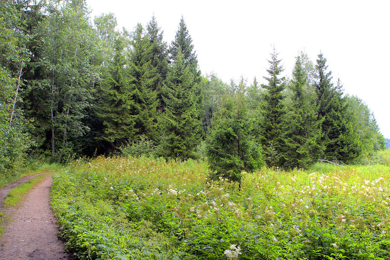
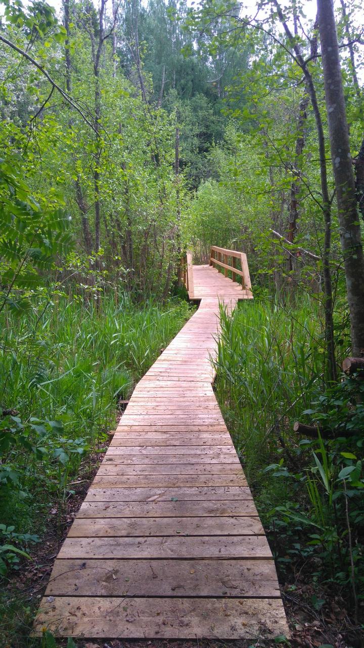
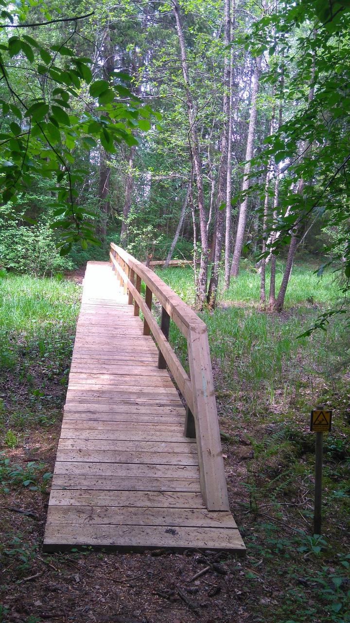
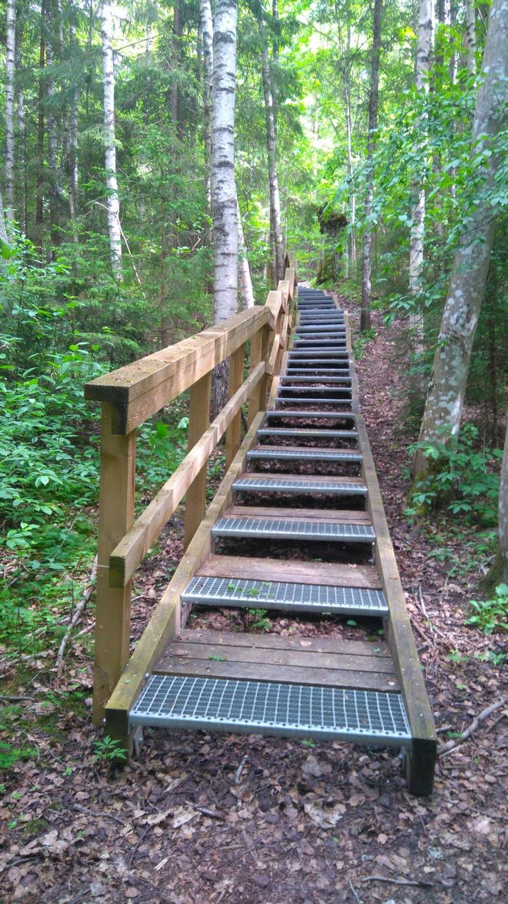
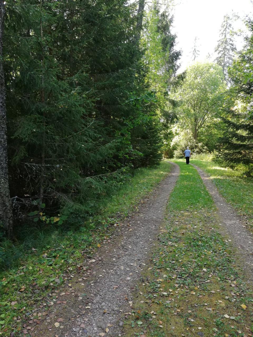
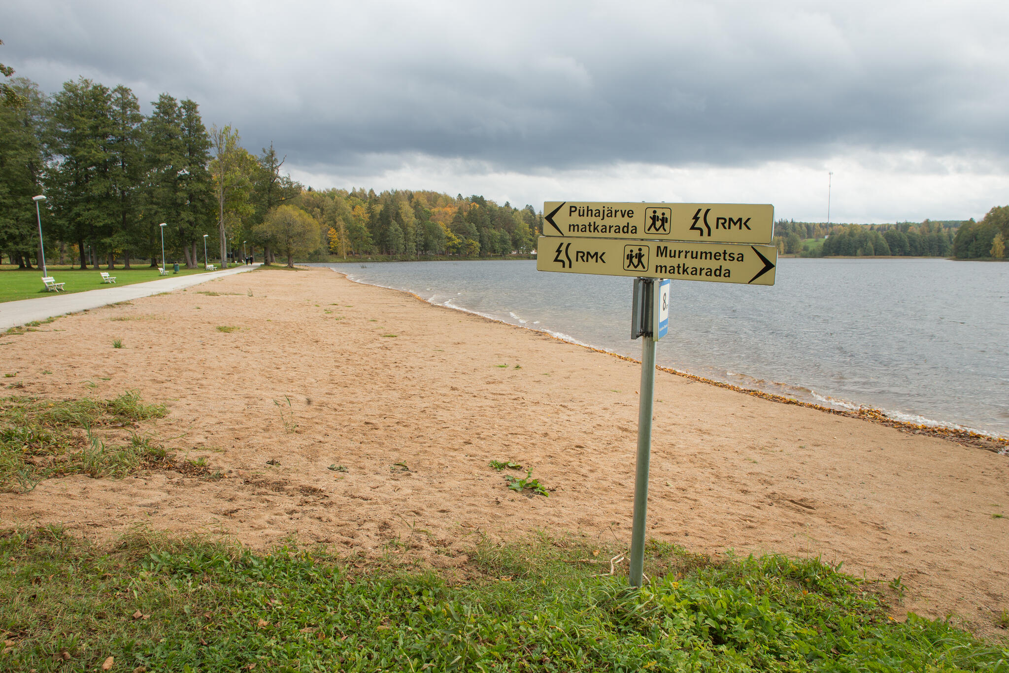
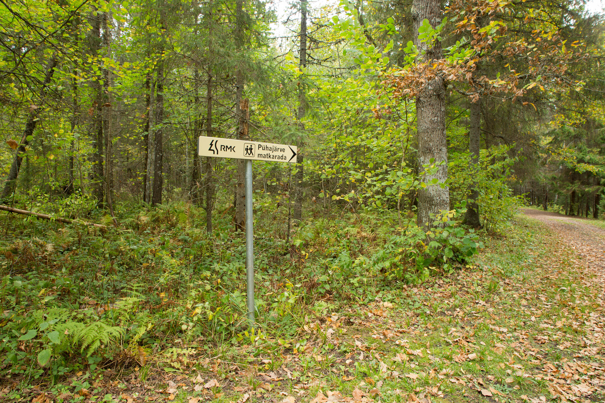
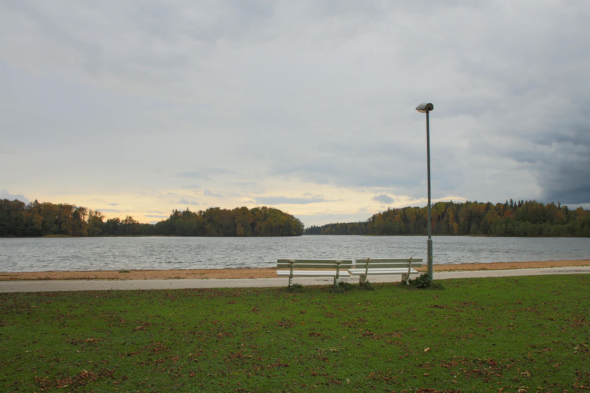
Lake Pühajärv hiking trail is a 14 km trail designed for walkers. This hiking trail offers the best way to get familiar with Lake Pühajärv and its surrounds. Natural objects near the trail: Lake Pühajärv, Armuallikas (the Spring of Love), head of the Väike-Emajõgi river, Koolirand, Murrumets, Pühajärve War Oak and oak stand.
| Phone | +372 676 7122 |
|
info.kiidjarve@rmk.ee
| |
| Type of object | Hiking trail |
| Parking facilities | Parking in the parking area of the Otepää office of the Environmental Board or in the parking area of Pühajärve beach. |
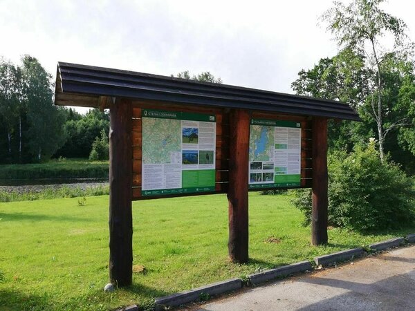
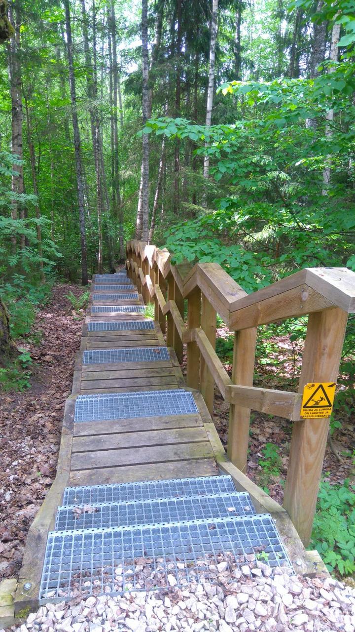
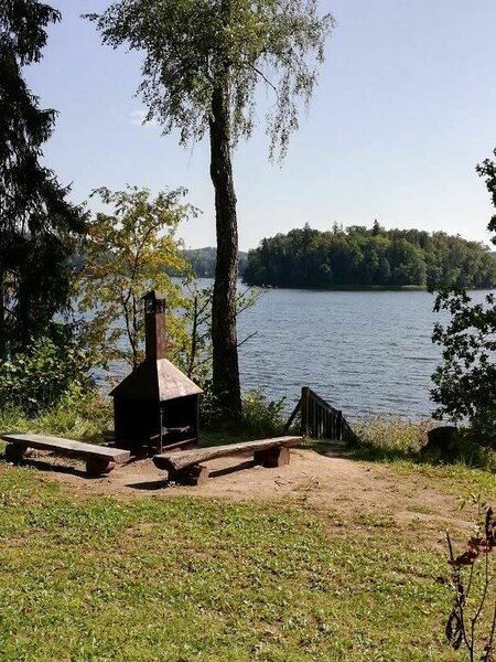
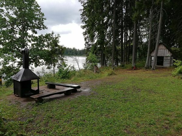
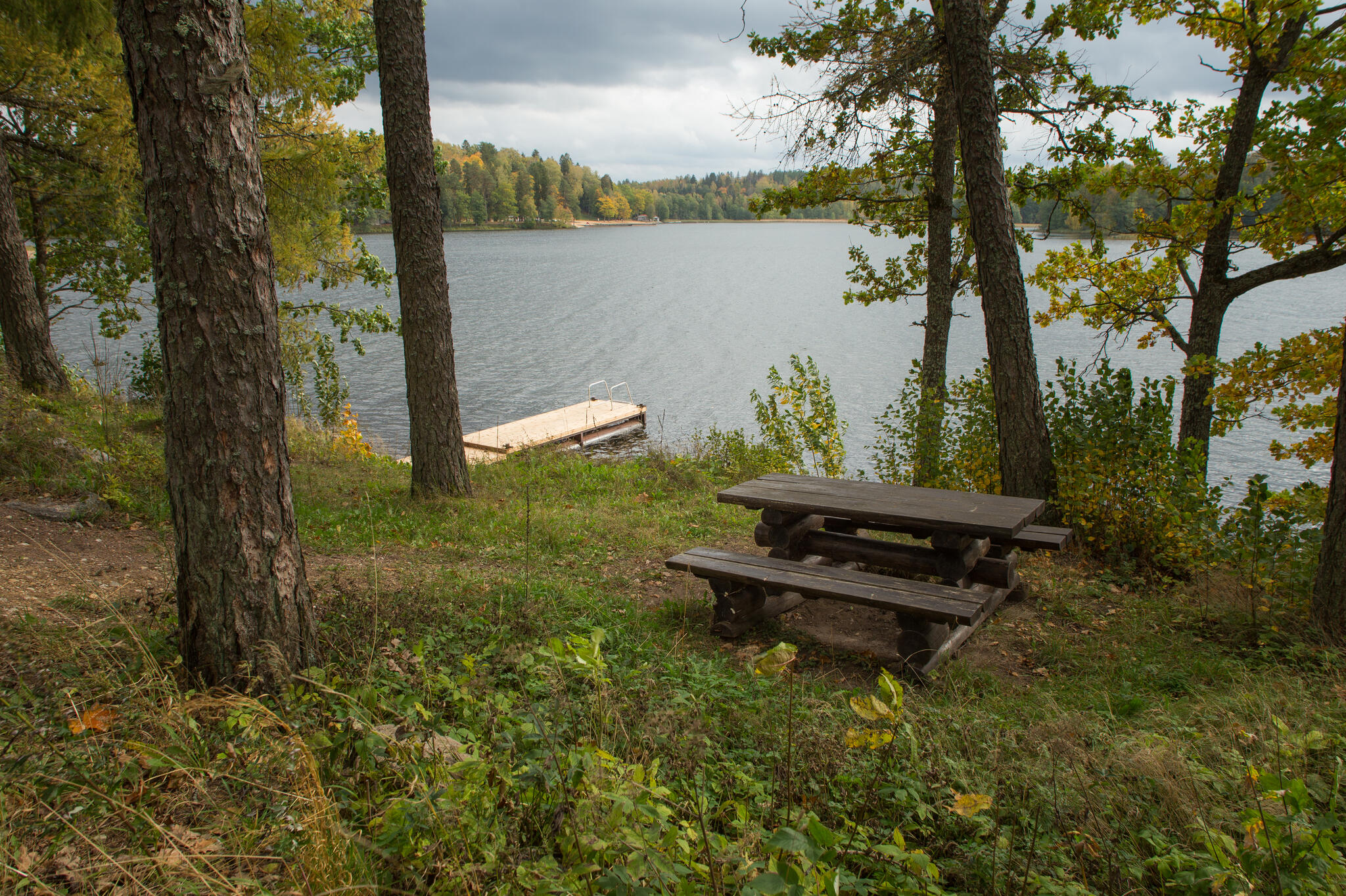
| Amenities | There are 8 information boards and an observation platform. Boardwalk, bridges and stairs facilitate the hike. The Angunina 2 campfire site is located on the western bank of the lake, with a covered fireplace, tables and benches, a wooden shed with the sleeping possibility, stairs and a toilet. |
| Camping facilities |
In Kiigemäe campfire site camping for 30 tents (for 4), in Kooliranna campfire site for 10 tents (for 4), in Angunina 2 campfire site for 2 tents |
| Outdoor fireplace | yes |
| Hiking options | In the southern part the trail crosses Lake Pühajärv sensation trail and by SPA Murrumetsa hiking trail |
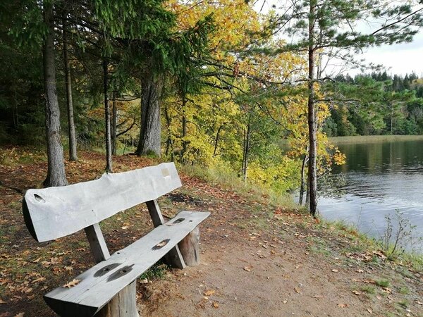
| Sights | Lake Pühajärv hiking trail invites you to discover the surroundings of one of Estonia’s most unique and beautiful lakes. Lake Pühajärv, Kolga farms, Love spring, Hobustemägi (“horses’ hill”), the source of the Väike-Emajõgi River, Murrumets forest, Pühajärve Sõjatamm (“war oak”). |
| Additional information |
|
| Restrictions | About restrictions please read here. Further information can be obtained from the Environmental Board (info@keskkonnaamet.ee, +372 662 5999). |
| Files | The brochure introducing the trail was issued by the Environmental Board. Download PDF file here. |
| Location | The trail is situated in the Pühajärve village, Otepää municipality and runs around Lake Pühajärv. |
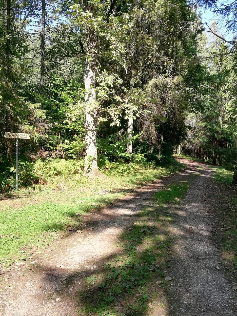
| Driving directions | In Otepää, at the junction with traffic lights, choose Otepää–Kääriku–Kurevere road (Road no. 23195) and drive 1.6 km towards Lake Pühajärv. Then turn left (at the sign “Nuustaku pubi ‘Valge Kroon’”) and drive 0.9 km on Kolga road to the parking area by the left side of the road. The hiking trail starts on the right side, at the road leading to the beach of Lake Pühajärv. The trail leads along Poslovitsa–Pühajärve road towards Poslovitsa. Follow the trail signs. |
| Geographic coordinates | Long-Lat WGS 84 latitude: 58.043376 longitude: 58.043376 |
| L-EST 97 x: 6436267 y: 646285 |