Ähijärve roads and paths trail (4 km)
Võru County, Karula National Park
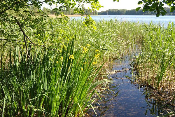
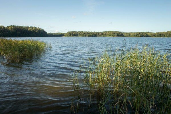
The trail starts near the largest lake in Karula National Park. Lake Ähijärv (total area 176 ha) and Ähijärve village are situated right in the heart of the national park. Biologists refer to the lake as a typical eutrophic lake, while fishermen speak of it as a good spot to catch zander, bream, pike, perch, eel and smaller species.
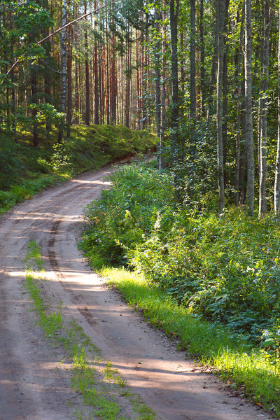
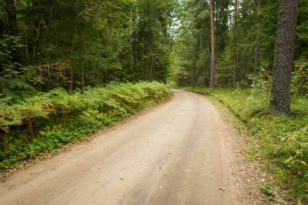
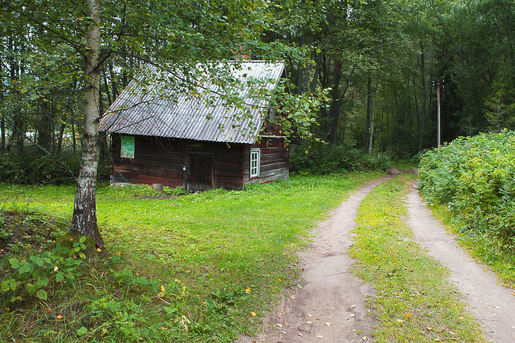
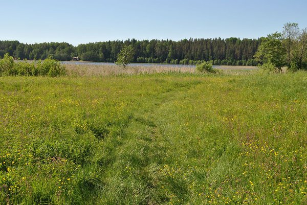
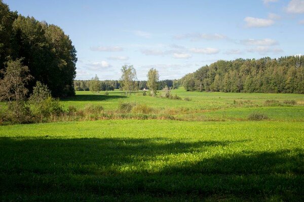
Ähijärve village is located on the transition of two types of landscape—the expanse of natural landscape and semi-natural landscape. Peräjärve–Labassaare forests cover the southern shore of the lake. The southern peaks of Karula upland—Lossi and Kõrgemägi hills—are seen from the lakeshore, in the west the Plaagi hill rises against the horizon. Ähijärve village and freehold farms were established in the mid-nineteenth century, whereas human settlement in the area dates back to the 13th century—Sarik-Siimani farm, for example, was built on a burial ground from this period. Ähijärve village is surrounded by a dense network of roads, the layout of which has changed. The Ähijärve roads and paths trail brings these once often treaded paths back to life and runs along the pasture road, the shore path of Lake Ähijärv, footpath, forest paths, winter roads, horse roads and gravel road.
Ähijärve village is located on the transition of two types of landscape—the expanse of natural landscape and semi-natural landscape. Peräjärve–Labassaare forests cover the southern shore of the lake. The southern peaks of Karula upland—Lossi and Kõrgemägi hills—are seen from the lakeshore, in the west the Plaagi hill rises against the horizon. Ähijärve village and freehold farms were established in the mid-nineteenth century, whereas human settlement in the area dates back to the 13th century—Sarik-Siimani farm, for example, was built on a burial ground from this period. Ähijärve village is surrounded by a dense network of roads, the layout of which has changed. The Ähijärve roads and paths trail brings these once often treaded paths back to life and runs along the pasture road, the shore path of Lake Ähijärv, footpath, forest paths, winter roads, horse roads and gravel road.
| Phone | +372 782 8350 |
|
info.karula@rmk.ee
| |
| Type of object | Study trail |
| Parking facilities | Available |
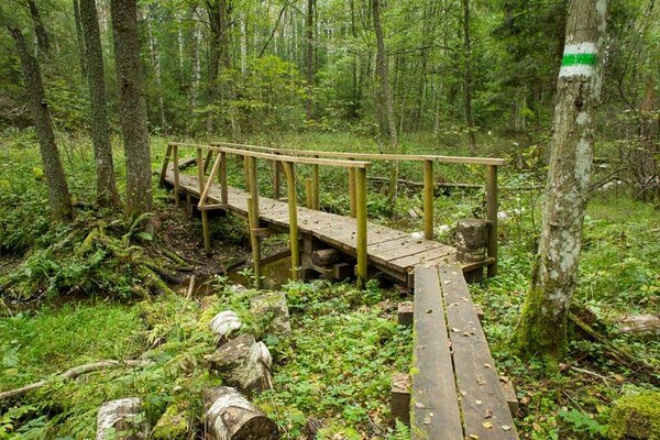
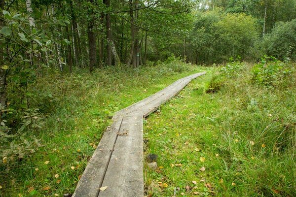
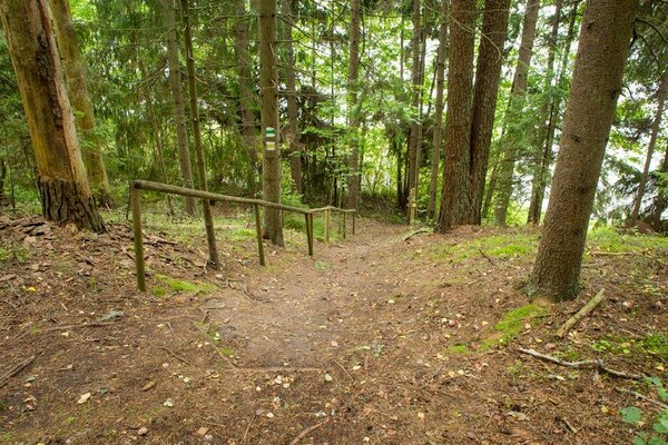
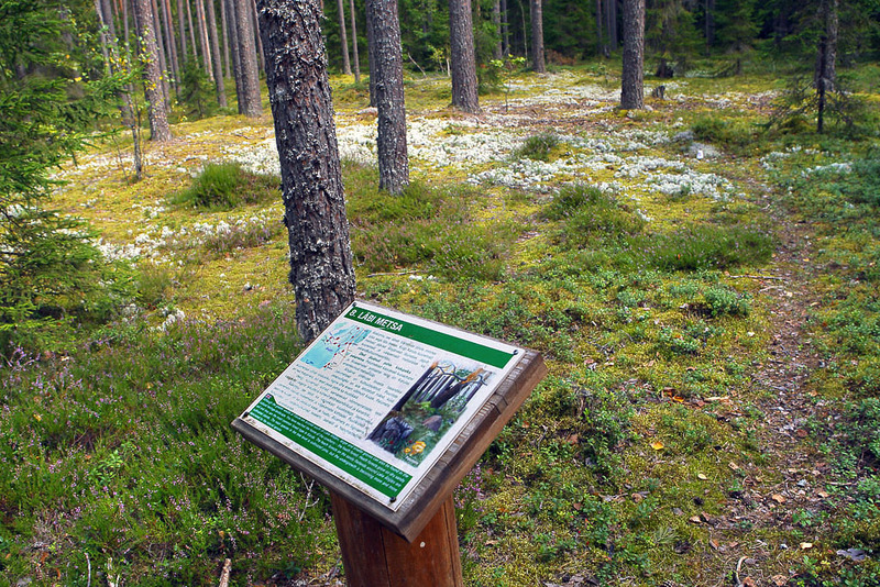
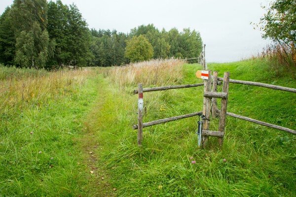
| Amenities | The trail starts at the visitor centre of Karula National Park and runs along the shore of Lake Ähijärv and old village roads. There are 15 information boards, 2 boardwalk sections along the trail. The trail is marked with wooden arrow signs and blazing on trees. |
| Camping facilities | yes |
| Outdoor fireplace | yes |
| Campfire site | yes |
| Hiking options |
by walking |
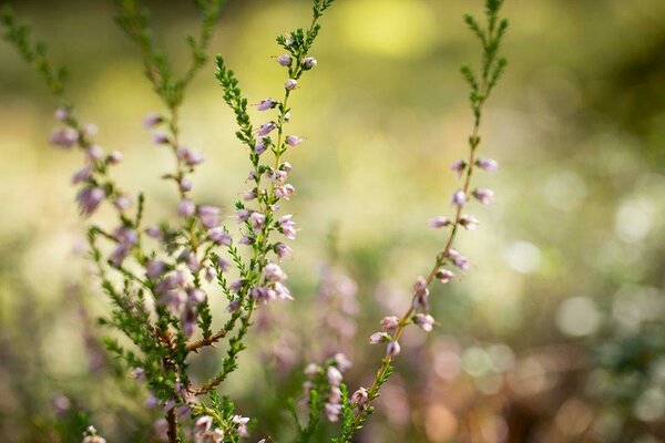
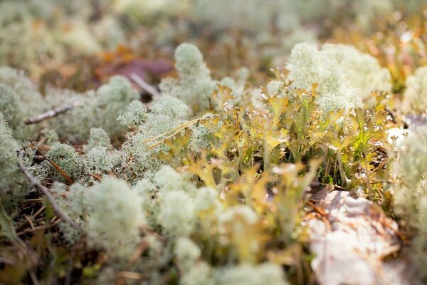
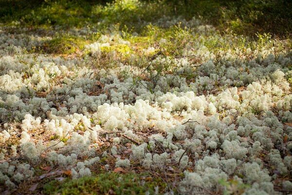
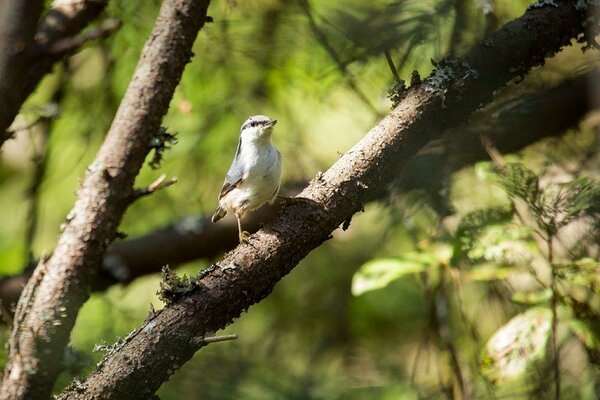
| Sights | The trail introduces the nature, history and cultural heritage of the region. |
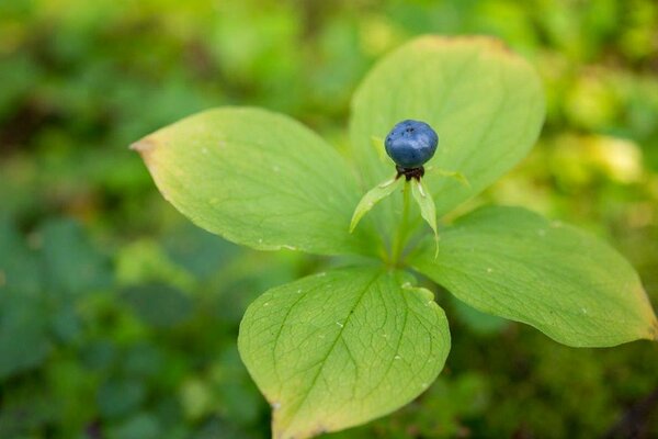
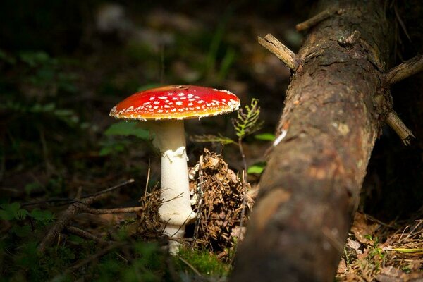
| Berries and mushrooms | Bilberries, mushrooms |
| Additional information |
|
| Restrictions | The trail is situated in Karula National Park, about restrictions please read here. Further information can be obtained from the Environmental Board (+372 662 5999, info@keskkonnaamet.ee). |
| Location | Ähijärve village, Antsla municipality. Object no 18 on the national park map. |
| Driving directions | Drive 8 km from Antsla towards Haabsaare, turn right 50 m after the Haabsaare bus stop (signs “Karula rahvuspargi külastuskeskus 7 km”, “Saru 20 km”). Drive 7 km on Haabsaare–Saru road and follow the signs to the visitor centre of Karula National Park. The Ähijärve roads and paths trail starts at the visitor centre. |
| Geographic coordinates | Long-Lat WGS 84 latitude: 57.71278 longitude: 26.50393 |
| L-EST 97 x: 6399529.8 y: 649221.8 |