Suitsu hiking trail (1,3km)
Pärnu County, Matsalu National Park
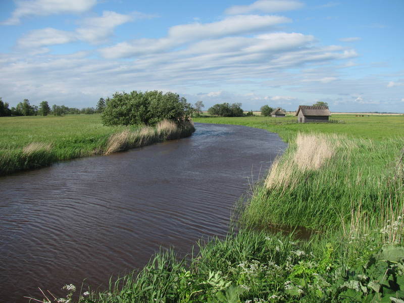
This is 1,3 km long surface road, which runs in parallel with the flood meadow of the Suitsu River. The trail is well worth hiking in early spring, early in the morning or late in the evening, when the animals and birds are the most active.
| Phone |
+372 513 8783 |
| info.matsalu@rmk.ee | |
| Type of object | Hiking trail |
| Parking facilities | Parking near Suitsu recreation site, about 200 m from the start of the trail, for 8 cars or 2 buses. |
| Amenities | 1,3 km long surface road. There is 1 information stand along the trail. |
| Hiking options | yes |
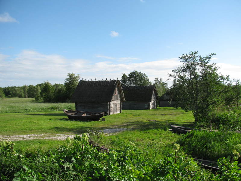
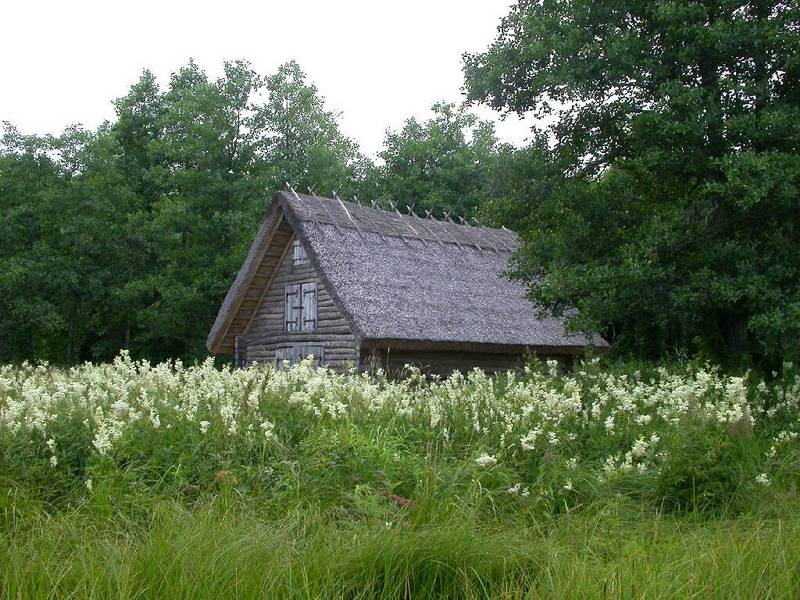
| Sights | Matsalu forest, floodplain meadow, reed beds, Suitsu River, old fishing huts, Suitsu observation tower. |
| Additional information |
|
| Restrictions | Matsalu National Park, Matsalu forest special management zone. Before your visit, please get acquainted with valid nature conservation rules of Matsalu National Park.
Information about restrictions can be obtained from the Environmental Board (+372 662 5999, info@keskkonnaamet.ee).
|
| Location | Kirikuküla village, Lääneranna municipality, Pärnu County Object no 4 on the national park map |
| Driving directions | Drive 43 km from Risti to Virtsu (Road no. 10), turn right towards Penijõe. Drive 1 km and turn left towards Kirikuküla village (at the sign pointing 5.5 km to the Suitsu observation tower). Drive on the gravel road to the parking space on the bank of the Suitsu River. A surface road takes you to the Suitsu river and this marks the start of the hiking trail. |
| Geographic coordinates | Long-Lat WGS 84 latitude: 58.723178 longitude: 23.746772 |
| L-EST 97 x: 6509309 y: 485330 |


