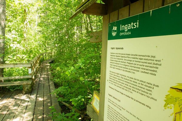
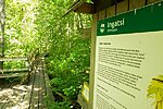
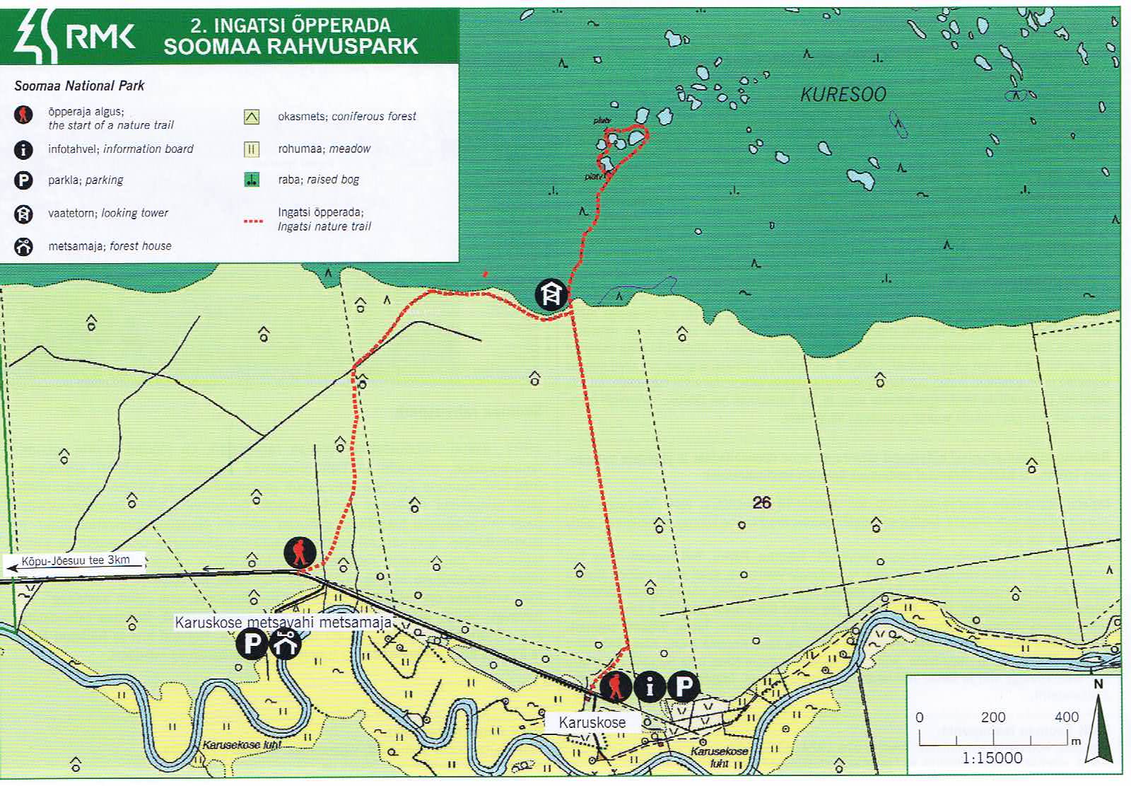
Ingatsi study trail (4.3 km)
Viljandi County, Soomaa National Park
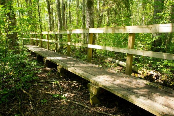
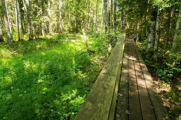
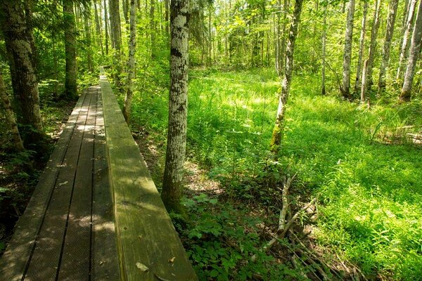
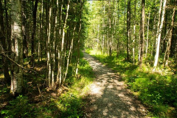
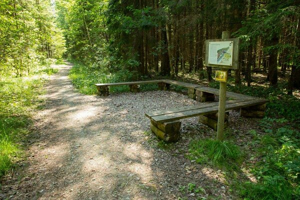
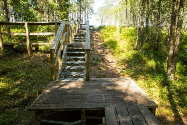
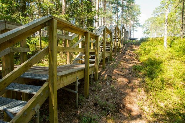
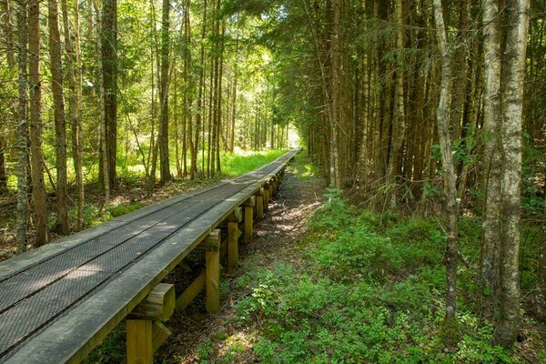
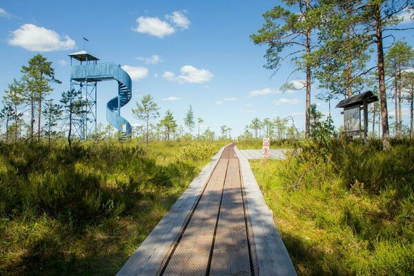
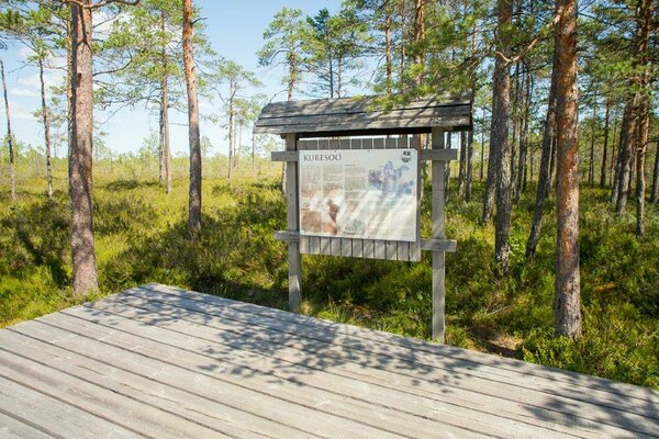
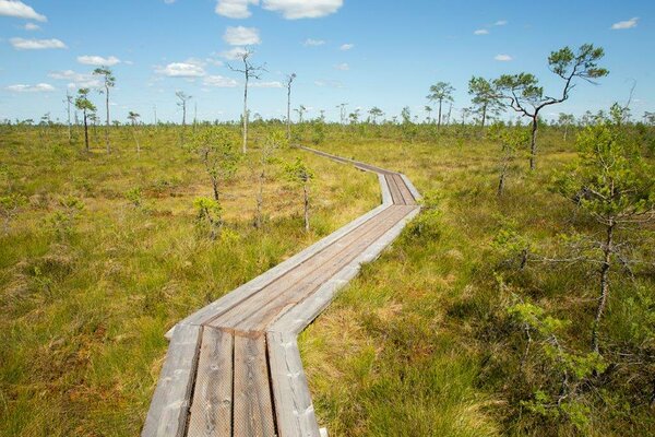
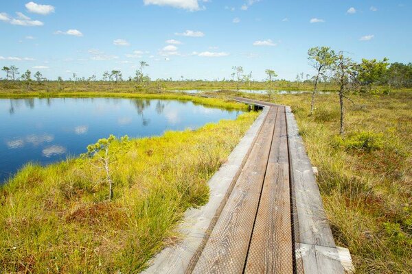
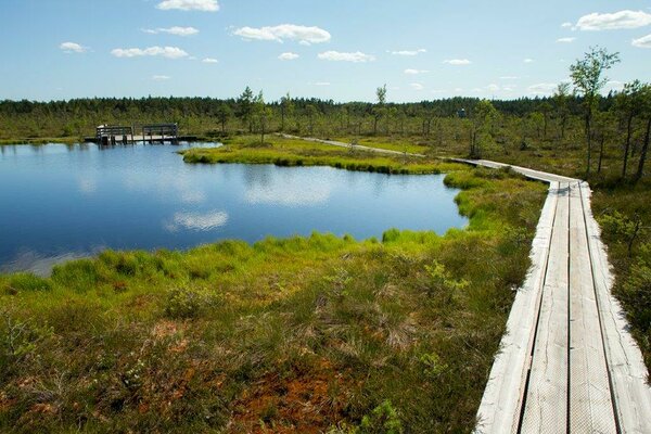
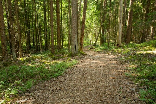
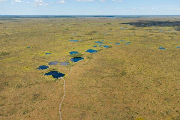
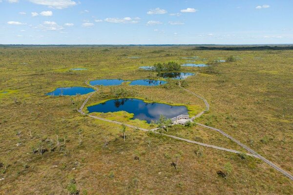
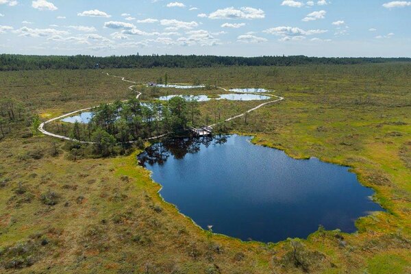
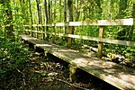
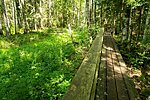
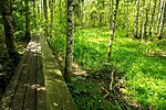
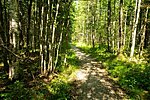
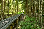
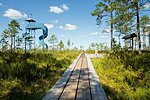
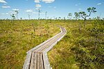
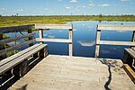
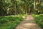
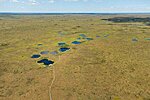
The first half of the trail goes through marsh forest, followed by a rise along the high bog ridge to the Kuresoo bog. There is an observation tower on the bog ridge. Next, the boardwalk meanders between bog pools. On the trail there are several recreation sites that offer scenic views of the Kuresoo bog.
| Phone | +372 526 1924 |
|
info.soomaa@rmk.ee
| |
| Type of object | Study trail |
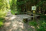
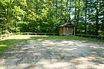
| Parking facilities | Parking area for 20 cars |
| Amenities | On the trail there is an observation tower, 5 recreation sites and a dry toilet |
| Hiking options |
by walking |
| Sights | Kuresoo bog, Karuskose semi-natural landscapes, floodplain forest. |
| Berries and mushrooms | Bilberries, cranberries, mushrooms |
| Additional information |
|
| Restrictions | In the territory of the National Park certain restrictions. Further information can be obtained from the Environmental Board (+372 662 5999; info@keskkonnaamet.ee). |
| Location | Sandra village, Põhja-Sakala municipality, Viljandi County. Object no 2 on the national park map. |
| Driving directions | The study trail is accessible along the Karuskose road. When coming from Tallinn–Pärnu–Tori, drive to Tori, turn onto the Võlli road that leads to the national park. Drive 6 km along the Jõesuu road to Jõesuu village and before driving into the village, turn right to Kõpu–Jõesuu road. From the bridge across the Halliste River in Riisa village, drive 2.3 km on to the sign directing you to Karuskose. From there it is 3 km to Ingatsi study trail. When coming from Tartu or Viljandi, drive along Tartu–Viljandi-Pärnu road to the settlement of Kõpu. After passing the cemetery, turn right to the Kõpu–Jõesuu road. Drive 27 km to the bridge across the Raudna River in Riisa village, Tori municipality, drive across the bridge up to the sign directing you to Karuskose. Ingatsi study trail is 3 km from there. |
| Geographic coordinates | Long-Lat WGS 84 latitude: 58.455475 longitude: 25.025786 |
| L-EST 97 x: 6479922.5 y: 559879.5 |
Click on the map to download it.
(The file is large, therefore the download takes a few minutes.)


(The file is large, therefore the download takes a few minutes.)