Ööbikuoru short hiking trail (450 m)
Võru County, Haanja Nature Park
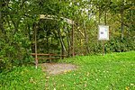
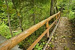
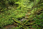
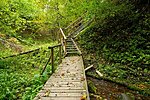
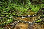
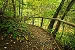
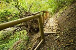
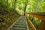
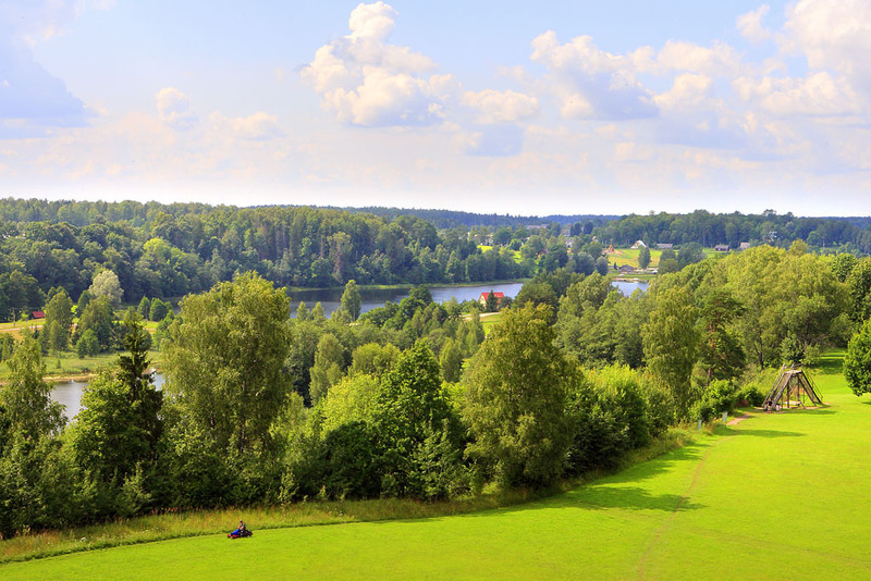
This 450 m hiking trail may be considered a real attraction as it introduces the tsori – a short v-shaped valley that extends to Rõuge primeval valley and displays limestone outcrops on its steep slopes. When bird cherries blossom, the valley is ringing with the song of nightingales – this is why it is called the Nightingale Valley. The trail goes along stairs and bridges.
| Phone | +372 501 9564 |
|
info.pahni@rmk.ee
| |
| Type of object | Hiking trail |
| Parking facilities | Asphalt parking area for 8 buses and 20 cars at Ööbikuoru visitor centre. |
| Amenities | Stairs, railings, footbridges, benches, information board. |
| Hiking options | walking |
| Sights | Ööbikuorg valley, Linnamägi, Ööbikuoru Hydraulic Workshop and Museum. |
| Additional information |
|
| Restrictions | The trail is situated in Haanja Nature Park, about restrictions please read here. Further information can be obtained from the Environmental Board (+372 662 5999, info@keskkonnaamet.ee). |
| Location | Rõuge municipality, Võru County. Object no 13 on the nature park map. |
| Driving directions | 1. Drive from Võru towards Luhamaa (Road no. 2, E263) and immediately after the railway crossing turn left. Go past Alexela filling station and after 500 m turn right (follow the signs “Haanja 12 km”, “Suur-Munamägi 12 km”). Drive past Kose bus stop (Favora filling station is to the left) and go straight on to the Haanja bus stop. 200 m after the bus stop follow the sign “Rõuge 9 km”, turn right and drive to the Tindi bus stop. Go 200 m up to the “Tindioru” sign on the left and the Rõuge sign on the right. After that there are signs directing to the left (“Ööbikuorg, Linnamägi” and “Parkla”). Turn left into the parking area. At Ööbikuoru centre there are signs and information boards introducing the surrounding area. The distance from the parking area to Ööbikuorg valley is 150 m. 2. Drive along Võru–Valga road (Road no. 67) and turn towards Rõuge. Before Rõuge turn left (follow the sign “Rõuge Suurjärve külalistemaja 1,5 km”) and drive to the junction with a red brick building (schoolhouse) across the road and the Rõuge school bus stop on your right. Turn left at the junction and after the schoolhouse immediately to the right (follow the signs “Ööbikuorg 0,6 km”, “Plaani 11 km”, “Haanja 8 km”). The bordermark of Haanja Nature Park and cemetery are on the left. Drive on (there is a lighted cycle and pedestrian track at the side of the road), and where the cycle and pedestrian track ends, you’ll see Rõuge Ööbikuorg visitor centre and parking area on the right. |
| Geographic coordinates | Long-Lat WGS 84 latitude: 57.72837 longitude: 26.93328 |
| L-EST 97 x: 6402302.5 y: 674720.5 |
