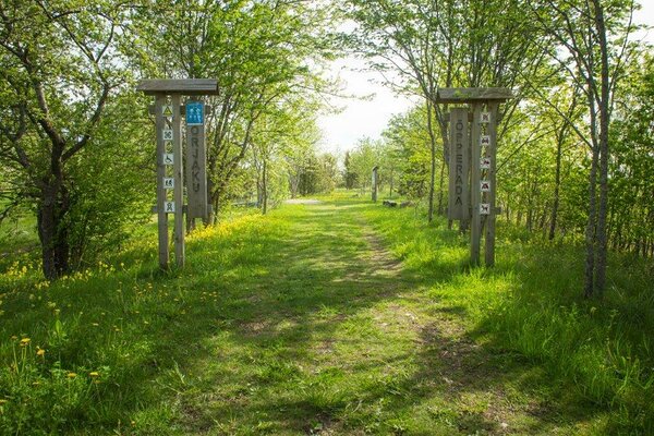
Orjaku study trail (0.7 km to 2 km)
Hiiumaa, Hiiumaa Recreation Area
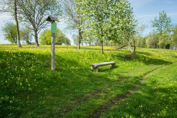
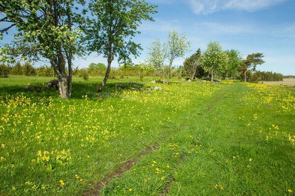
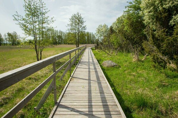
The trail starts at the parking area near the
Orjaku bay, consists of the longer Orjaku trail (2 km) and the shorter Roostikuring
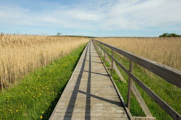
(Reed loop) (0.7 km). Accessible without getting your feet wet, the trail is marked
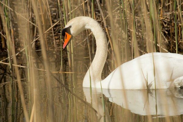
with arrow signs. Enjoy the vistas to the Käina and the Jausa bay, and observe
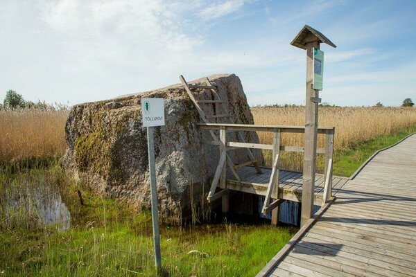
the birds’ activities and migration. The short circular boardwalk trail
(Roostikuring) takes you through the tall reeds to Silmakare.
| Phone | +372 676 7111 |
|
info.ristna@rmk.ee
| |
| Type of object | Study trail |
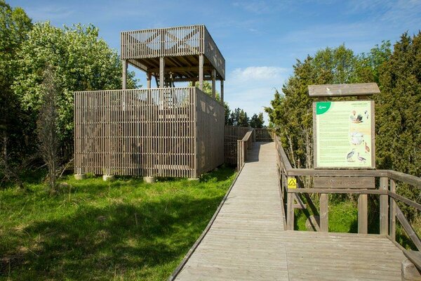
| Parking facilities | Parking
near the Orjaku bay and next to the bird observation tower |
| Amenities | There
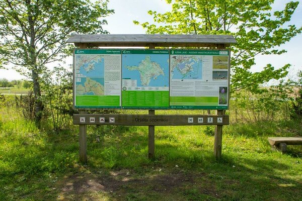
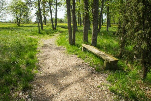
are 3 information boards, a recreation site with shelter, and about 0.5 km
boardwalk through reeds on the trail. A large information board and 11 smaller
ones. Passable without getting your feet wet, marked with arrow signs. |
| Hiking options | yes |
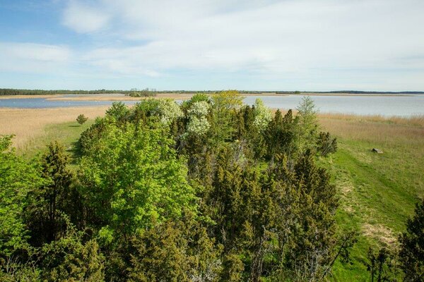
| Sights | The
Käina bay resembles a coastal lake rather than a sea bay. Its average depth is
only 0.5 m and three canals join the bay and the sea. There are 23 low flat
islands in the bay, mostly surrounded by reeds. The bird population in the
Käina bay is interesting and highly diverse. In the autumns 10,000 to 15,000,
sometimes up to 20,000 water and coastal birds choose the bay as their stopover
site. |
| Additional information |
Before going on a nature walk please read the Environmental code of conduct (freedom to roam), rules of conduct and waste-sorting policy
|
| Restrictions |
In
Käina Bay–Kassari Nature Reserve.
Information about restrictions can be obtained from the Environmental Board (+372 662 5999, info@keskkonnaamet.ee).
|
| Location | Orjaku village, Hiiumaa municipality Object no 5 on recreation area map |
| Driving directions | Drive
3.2 km on Suuremõisa–Käina–Emmaste road to Emmaste, pass the Käina–Kärdla
junction. Turn left at the Orjaku junction, drive 2.3 km towards Orjaku.
There’s a lighthouse to your left; the parking area, which marks the start of
the trail, is next to the lighthouse. |
| Geographic coordinates | Long-Lat WGS 84 latitude: 58.80012 longitude: 22.75978 |
| L-EST 97 x: 6518514.5 y: 428314.1 |