Tõrvanina study trail (4 km)
Hiiumaa, Hiiumaa recreation area
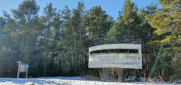
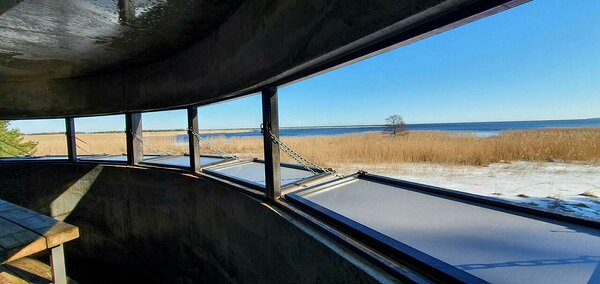
Tõrvanina study trail runs through different types of forest in the varied landscape of the Tareste Landscape Protection Area. Along the 4 km long trail with red indication there are small bog areas between the sand dunes, as well as Tareste bay, reedbed and military heritage from World War II. The trail passes through the habitats of protected plant species and bats.
In the second half of summer and in autumn, it is worth of taking a basket with you. There can be blueberries, lingonberries and mushrooms on the trail.
In the second half of summer and in autumn, it is worth of taking a basket with you. There can be blueberries, lingonberries and mushrooms on the trail.
| Phone |
+372
6767499
|
| info.ristna@rmk.ee | |
| Type of object | Study trail |
| Parking facilities | At the beginning of the study trail, there is the gravel-covered car park for 10 cars and 2 large buses. It is also possible to park in the parking lot of the neighbouring Tõrvanina campsite. |
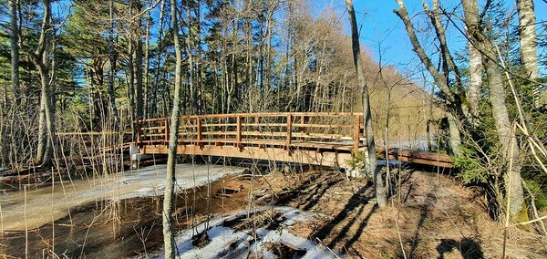
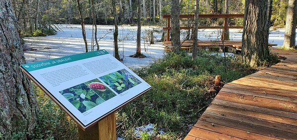
| Amenities | A large information board at the beginning of the trail, 13 information boards on the trail. 2 marsh platforms, a bridge over Tareste stream, a bird watching platform along Tareste Bay. Possibility to use the DC of Tõrvanina campsite. |
| Outdoor fireplace | At Tõrvanina campsite |
| Water |
No drinking water |
| Hiking options |
Number eight-shaped trail begins and ends at the same point and is doable also partly. |
| Sights | The varied landscape of Tareste Landscape Reserve, Tareste Bay, reedbeds and coastal pastures. |
| Berries and mushrooms | Blueberries, lingonberries, mushrooms |
| Additional information | The study trail intersects Hiiumaa hiking route, pay attention to the indication (red!) on the common sections. Camping and fire-making is allowed only in Tõrvanina campsite. |
| Restrictions | The trail is mostly situated in Tareste Landscape Protection Area. Information about restrictions can be obtained from the Environmental Board info@keskkonnaamet.ee, +372 662 5999. |
| Location | Tahkuna peninsula, Hiiumaa municipality, Hiiu County. Object no 14 on the recreation area map. |
| Driving directions | From Kärdla - Kõrgessaare highway (road no. 80) turn towards Lehtma. At the 8th km of Kärdla-Lehtma road (road no. 82) turn right (RMK signpost "Tõrvanina") and drive to the parking lot. |
| Geographic coordinates | Long-Lat WGS 84 latitude: 59.039257 longitude: 22.685617 |
| L-EST 97 x: 6545259 y: 424601 |


