Lõhavere hill fort
Viljandimaa, Sakala puhkeala
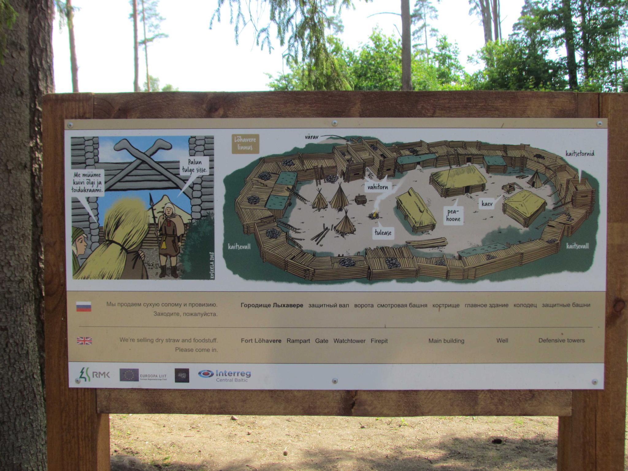
The hill fort of Lõhavere was occupied by a local Estonian chieftain Lembitu during the Late Iron Age. It is one of the most thoroughly studied hill forts in Estonia. Major archaeological excavations have been conducted on the site since the late 19th century and almost two thirds of the stronghold has been excavated. Many of the stronghold’s details correspond to the description of the castle written in the Livonian Chronicle by a priest called Henry of Latvia in 1215.
The stronghold has been built on a moraine hill
which rises 8 to 10 meters above the surrounding terrain. Encircling the top of
the hill is a man-made sand wall, which was originally supported from inside by
a 2.5 meter timber wall. Timber structures were built on the top of the wall. The
main gate of the hill fort was on the north side and was probably protected by
a wooden tower.
| Phone | +372 526 1924
|
|
info.soomaa@rmk.ee
| |
| Type of object | Rest Stop |
| Parking facilities |
Parking for 13 cars, 3 buses.
|
| Amenities |
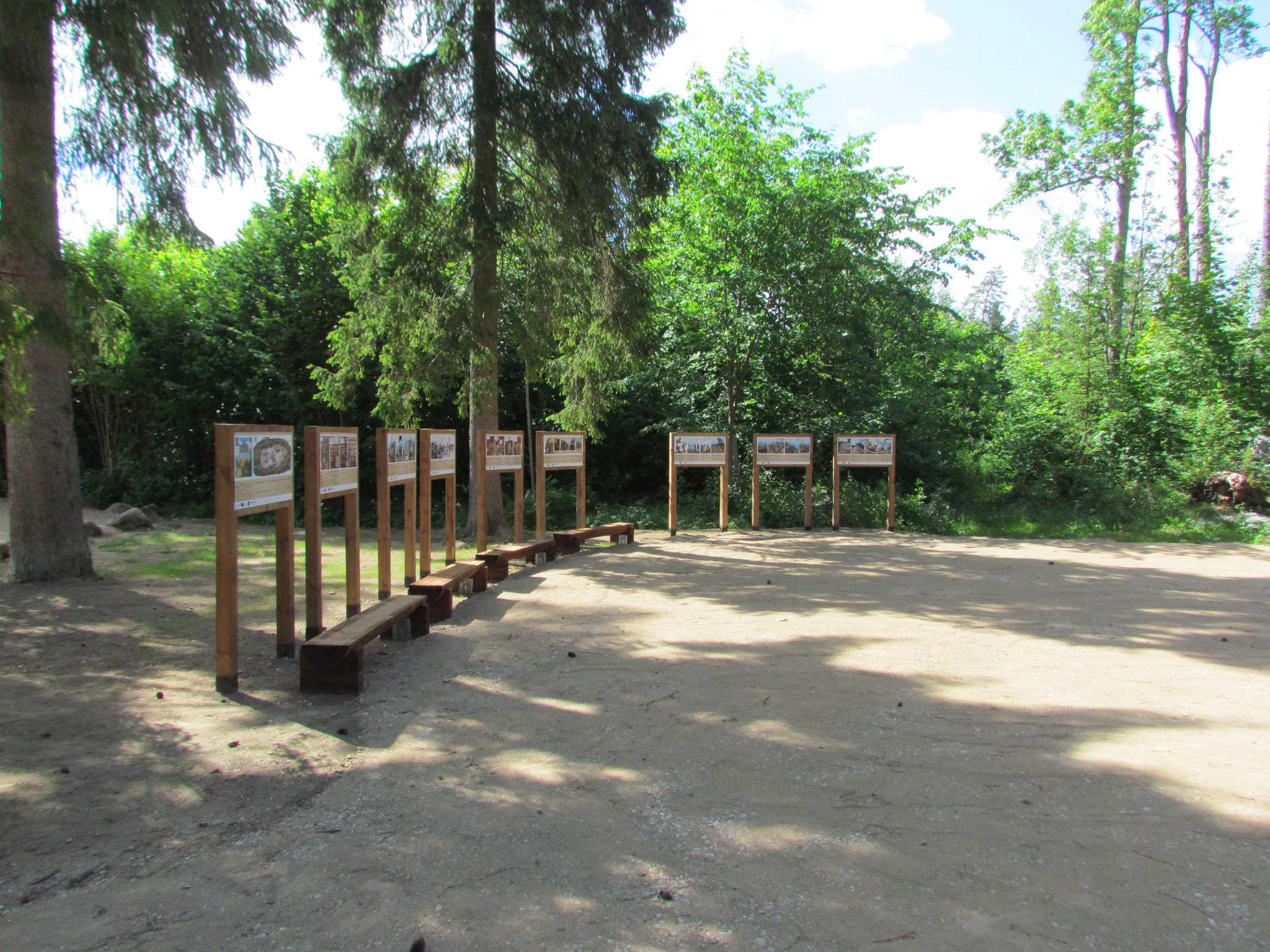
Gathering place with benches, information board and historical comic storyboards. A trail marked with arrows and a metal stair lead to the main gate of the hill fort. To return from the hill fort to the parking lot there is a wooden staircase. |
| Sights |
A memorial
“To the defenders of Sakala 1217-1223”
designed by sculptor
Renaldo Veeber and architect Ülo Stöör was opened in 1969. |
| Additional information |
|
| Restrictions | The hill fort is a archaeological monument |
| Location |
Lõhavere village, Põhja-Sakala municipality, Viljandi county Object no.16 on the national park map |
| Driving directions | Drive 31 km along Imavere–Viljandi road and turn towards Vändra. Drive 6.8 km up to Suure-Jaani junction, where the sign “Lõhavere linnamägi 2 km” directs to the right. Drive about 2 km through Kõidama village and turn left, following the sign “Lõhavere linnamägi”. Drive about 1.1 km and you are there. |
| Geographic coordinates | Long-Lat WGS 84 latitude: 58.549408 longitude: 25.513843 |
| L-EST 97 x: 6490921 y: 588129 |