Luite campfire site
Viljandi County, Sakala Recreation Area
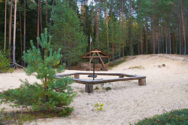
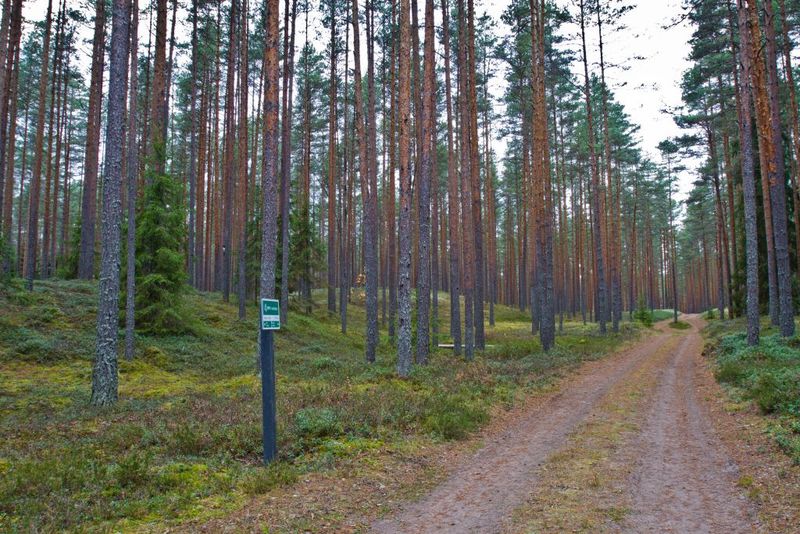
The campfire site is on the historical Sakala Road and is suitable for hikers both for a brief stop or an overnight stay, even for larger groups. The sandy dune ridge is a remnant of the Baltic Ice Lake. When you walk barefoot on the sand, you may easily feel that the sea is not far. The pine forest with its well-groomed undergrowth offers joy of discovery for gatherers, who pick loads of berries and mushrooms there. Lovers of medicinal herbs can find here relief for kidney problems – the bearberry.
| Phone | +372 526 1924 |
|
info.soomaa@rmk.ee
| |
| Type of object | Campfire site |
| Parking facilities | Roadside parking for 5 car. |
| Amenities | Fire ring, information board, picnic tables, shelter, firewood shelter, dry toilet. |
| Camping facilities |
The maximum number of tents (for 4) allowed is 3. |
| Campfire site | Fire ring with a grill |
| Hiking options |
The campfire site is on the Sakala Road hiking trail. |
| Sights | Sakala Road |
| Berries and mushrooms | Cloudberries, bilberries, cowberries, mushrooms |
| Additional information |
|
| Restrictions | The campfire site is located in Navesti Landscape Protection Area. Information about restrictions can be obtained from the Environmental Board (+372 662 5999, info@keskkonnaamet.ee). |
| Location | Vihi village, Põhja-Sakala municipality, Viljandi county Object no 12 on the recreation area map |
| Driving directions | On Imavere–Viljandi road, 31 km from Imavere turn towards Vändra. Drive 16.8 km and cross the bridge over the Navesti River, and look out for the information board of Sakala Road hiking trail by the right side of the road. This is where the Sakala Road hiking trail starts. When coming from the direction of Pärnu, head from Vändra towards Suure-Jaani and drive 24 km. Luite campfire site is 1.2 km from the start of the Sakala Road hiking trail. |
| Geographic coordinates | Long-Lat WGS 84 latitude: 58.591001 longitude: 25.341678 |
| L-EST 97 x: 6495339.7 y: 578015.4 |


