Booking terms and conditions for RMK nature houses and rental huts
1. Booking terms and conditions
Estonian State Forests Management Centre (RMK) shall abide by the following terms and conditions for booking and cancelling the booking of nature houses and rental huts:
- Pre-sales invoice shall be paid by the due date as specified on the invoice.
- The customer shall have to cancel the booking, if he/she has decided not to use the nature house or rental hut.
In case the customer has not paid the invoice by the due date, RMK is entitled to cancel the booking.
2. Booking and payment
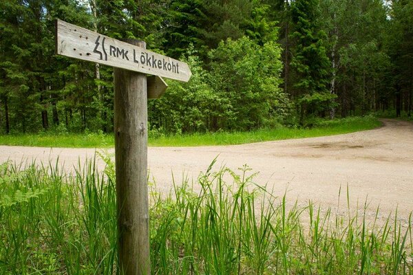
RMK nature houses and rental huts can be booked online
www.nordicrent.ee or weekdays Mon-Fri from 9.00 to16.00 the phone
+372 676 7532 also via e-mail at
puhkus@rmk.eePersons under the age of 18 are allowed to book and use the nature house and rental hut only together with an adult. For each nature house and rental hut, the number of customers who can use the facility at the same time is limited and that number is specified in the description of the nature house and rental hut on RMK homepage. The number of users does not include children aged 1-3.
An advance booking can be made for a nature house and rental hut for up to seven days.
Within seven days from advance booking the booking has to be confirmed in writing, otherwise the booking will be void. If the customer wants to use extra services in addition to renting the nature house (nature programme, hiking, transport etc.), RMK shall make a respective offer.
After booking or confirming the advance booking, the customer shall receive a
pre-sales invoice for the whole sum.
If the booking is made earlier than 21 days before using the service, the customer shall receive a pre-sales invoice for the whole sum, which must be paid within 14 days after booking.
If the booking is made later than 14 days before using the service, the customer shall receive a pre-sales invoice for the whole sum, which must be paid immediately.
The pre-sales invoice shall be paid by the due date shown on the invoice. After the payment of the invoice has been received, RMK shall issue a regular invoice to the customer, if requested, to confirm the booking.
With the pre-sales invoice the customer shall receive the contact information of the caretaker of the nature house/rental hut and information how the customer receives the keys to the nature house/rental hut. The customer him/herself shall agree with the caretaker about the time of arriving and leaving.
RMK reserves the right to change the quoted prices.
3. Cancellation and amendment
An online booking of a nature house or rental hut can be cancelled on weekdays Mon–Fri by email to
broneering@nordicrent.eeAn email booking of a nature house or rental hut can cancelled on weekdays Mon–Fri from 9:00 to 16:00 by email to
puhkus@rmk.ee
Cancelling date is the date when RMK receives information about cancellation of the booking. If the customer proves that cancellation was sent in good time to be delivered by the intended time, RMK shall accept the cancellation, even if it is delivered later or is not delivered at all.
If the booking of the rental hut is cancelled
14 days or more before using the service, the customer shall be refunded the advance payment less the service fee (2,00 EUR).
If the booking is cancelled
later than 13 days but earlier than 73 hours before using the service, the customer shall be refunded 75 percent of the total sum.
If the booking is cancelled
later than 72 hours before using the service, no refund shall be made to the customer.
If the booking is cancelled before starting to use the service due to the illness, involvement in an accident or death of the customer or a person close to the customer, the customer is entitled to full refund.
In this case the customer shall have to inform the RMK Nature Management Department immediately of cancelling the booking. Within two weeks at the latest certification (from the doctor, police etc) on the cause of cancelling the booking needs to be provided and sent to:
RMK Visitor Management Department,
Sagadi Village, Haljala Municipality, 45403 Lääne-Viru County. If the booking is cancelled for the above-mentioned reasons during the time of using the service, no refund shall be made to the customer.
If the customer wants to change the time or place of using the service, it will be regarded as cancellation of the earlier booking and making a new booking.
4. RMK’s right to cancel a booking
RMK shall be entitled to cancel a booking
due to force majeure (natural disaster, high risk of forest fire, strike etc.), in which case RMK shall inform the customer as soon as possible. In this case the customer is entitled to full refund of the payment. The customer shall not be compensated for possible additional costs incurred.
5. Return of the key
The customer shall return the key to the rental hut according to the instructions received.
6. Use of the house
The customer (person who has made reservation) ensures that all people who are using the house follow the house rules that are introduced while house was handed over for their use. The customer (person who has made reservation) ensures that all visitors follow the generally accepted quiet time (23.00 to 6.00) of RMK´s nature houses and rental huts.
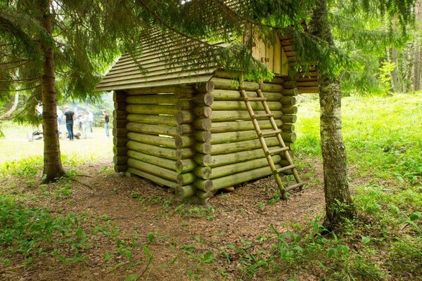
6.1. Use of the rental hut The estimated time of arrival of customers at the rental hut is 14.00, the estimated time of leaving is 12.00.
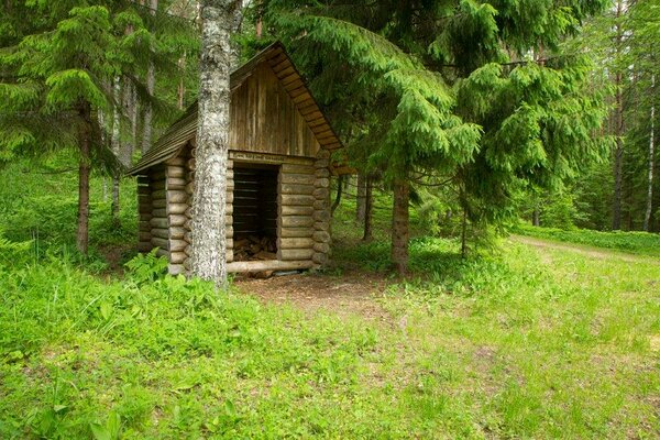
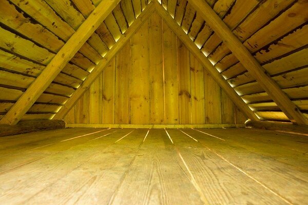
Rental huts have spartan furnishing only – a bench, a table and a fireplace. Customers have to bring sleeping gear and other necessary items with them. The user of a rental hut shall ensure that the hut and the furnishings of the hut remain in good order when he/she leaves.
6.2 Use of nature house Estimated time of arriving of customers at the nature house is 16.00, estimated time of leaving is 12.00.
User of the nature house shall ensure that the rooms and the furnishings of the nature house remain in good order after he/she leaves.
7. Compensation for damage
7.1. The customer shall be liable to compensate to RMK for damage caused by negligent use or misuse of the nature house or rental hut.
7.2. At the request of RMK, the customer undertakes to pay a contractual penalty to the extent of double charge for using the rental hut, in case the actual number of users of the rental hut exceeds the permitted number of users established for the rental hut.
7.3. The customer undertakes to pay the contractual penalty in the sum 130,00 EUR at the request of RMK, in case the actual number of users of the nature house exceeds the permitted number of users established for the nature house.
8. Complaints
Any complaints shall be filed to the caretaker of the nature house or rental hut immediately when a problem emerges. If it is impossible to find a satisfying solution to the problem on site, a complaint shall be sent in writing to RMK Visitor Management Department, Sagadi Village, Haljala Municipality, 45403 Lääne-Viru County within one week after using the service. RMK shall handle the complaint within one month.
9. Settlement of disputes
All disputes shall be settled by negotiation. If agreement cannot be reached by negotiations, the dispute shall be settled pursuant to the procedure prescribed by law.
10. Other notes
RMK shall not be liable to compensate damages or expenses resulting from natural conditions, such as e.g. mosquitoes, mice or unexpected weather changes.
11. Use and protection of customer data
RMK processes personal data in compliance with the European Union data protection regulation and accordingly to the valid
Terms and Conditions of Data Protection in RMK.