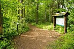
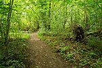
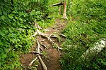
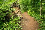
Männikjärve hiking trail (2.2 km)
Jõgeva County, Endla Nature Reserve
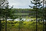
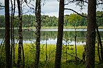
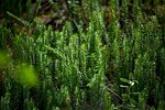
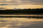
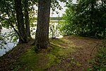
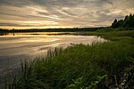
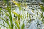
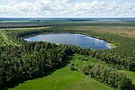
Männikjärve hiking trail is just long enough for a beginner. Wonderful views open along the trail on Lake Männikjärv and the surrounding bog.
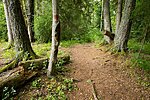
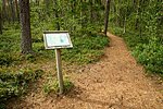
The trail goes around Lake Männikjärv, in the bog and through the coniferous forest. The trail is marked with red spots on trees and on average it takes 1 hour to walk it.
The trail goes around Lake Männikjärv, in the bog and through the coniferous forest. The trail is marked with red spots on trees and on average it takes 1 hour to walk it.
| Phone | +372 676 7030 |
| info.elistvere@rmk.ee | |
| Type of object | Hiking trail |
| Parking facilities | Parking for 10 cars and 2 buses in the centre of Tooma. |
| Amenities | 2 information boards |
| Camping facilities | Tooma campfire site, Linajärve camfire site |
| Campfire site | yes |
| Hiking options | Männikjärve bog study trail (7,3) |
| Sights | Lake Männikjärv, Männikjärv bog and coniferous forests. |
| Additional information |
|
| Restrictions |
Situated in Endla Nature Reserve.
Driving motor vehicles is allowed on the roads of the nature reserve. For going on Lake Männikjärv and organising public events with more than 20 participants, a permit must be obtained from protected area manager. Additional information from the Environmental Board: +372 662 5999, info@keskkonnaamet.ee. |
| Location | Jõgeva Municipality, Jõgeva County |
| Driving directions | The distance to Tooma from Tallinn is 143 km (along the Piibe road 136 km), from Tartu 72 km, from Rakvere 61 km, from Jõgeva 21 km. When coming from Tallinn, drive along the Tallinn–Tartu road, turn left at Mäeküla towards Koeru, drive through Koeru and turn towards Tartu at Kapu junction. On the Tartu–Rakvere road (66 km from Tartu, about 3 km from Vägeva towards Jõgeva) a brown sign directs you to Endla Nature Reserve. Turn right on the hill (follow the sign to the parking area) and drive ca 400 m to the parking area at the centre of Endla Nature Reserve. Walk back along the same way and turn right at the parking area sign. Go past the two-storey building straight ahead to Lake Männikjärv. The trail runs around Lake Männikjärv and through the forest back to the information board. |
| Geographic coordinates | Long-Lat WGS 84 latitude: 58.87183 longitude: 26.270386 |
| L-EST 97 x: 6528055 y: 630942 |
