Kurtna hiking trail (9 km)
Ida-Viru County, Alutaguse National Park
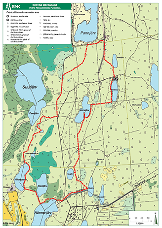
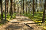
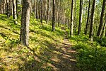
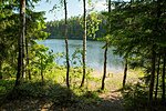
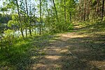
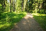
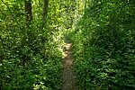
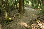
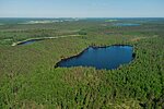
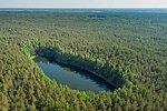
The hiking trail is located in the Kurtna Lake District and is part of the Alutaguse National Park. The trail starts from the parking lot of Nõmmejärve campfire site. The density of lakes of different types, variable landscapes, beauty of wetlands and vegetation form an enchanting mosaic to enjoy.
| Phone | +372 5681 5722 |
| info.alutaguse@rmk.ee | |
| Type of object | Hiking trail |
| Parking facilities | Parking
at Nõmmejärve campfire site parking area for about 20 cars |
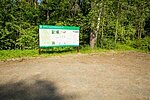
| Amenities | 300 m boardwalk, 3 bridges, 12 small information boards. Passes Nõmmejärve and Martiska campsites. Section of the RMK Penijõe-Aegviidu-Kauksi hiking route |
| Camping facilities | Nõmmejärve campfire site, Martiska campfire site |
| Campfire site |
Nõmmejärve campfire site, Martiska campfire site |
| Water | Non drinking water from lakes |
| Hiking options | yes |
| Sights | The
various terrains and forest growth types of the Kurtna lake group, Pannjärve
sand mine |
| Berries and mushrooms | Bilberries, wild strawberries, chanterelles, milk-caps |
| Additional information | The
trail passes the shores of 11 lakes; swimming and fishing. Before going on a nature walk please read the Environmental code of conduct (freedom to roam). |
| Restrictions | Kurtna
Landscape Reserve was established in 1987 on 2,557 hectares to protect the
Kurtna lake group and Kurtna kames. According to the nature conservation rules, motorised vehicle traffic is prohibited outside roads and paths. Campfires can be made only in designated sites. |
| Location | Alutaguse municipality, Ida-Viru county Object no. 1 on recreation area map |
| Driving directions | Drive
17 km on Jõhvi–Vasknarva road, turn left (at the sign to Niinsaare Recreation Centre).
Before the ditch where the road branches, turn left onto the gravel road (signs
Niinsaare and RMK hiking trail) and drive about 1.5 km to the parking area of
Niinsaare Recreation Centre. The trail starts about 20 m before the parking
area and proceeds towards the lake. |
| Geographic coordinates | Long-Lat WGS 84 latitude: 59.2641 longitude: 27.5707 |
| L-EST 97 x: 703553.7 y: 6575013.9 |
