Rüütli campfire site
Ida-Viru County, Alutaguse National Park
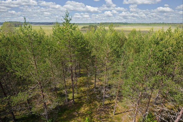
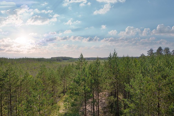
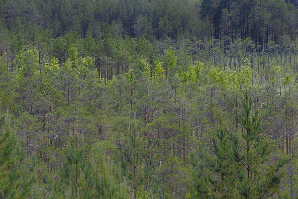
Rüütli campfire site is located on one of the four separate plots of Muraka Nature Reserve (total area 14,058 hectares). The varied landscape of Muraka wetland is the habitat for several rare animal, bird, mushroom and plant species. Geese and cranes use this place as a stopover during migration. Sometimes you may see the golden eagle, the osprey and the peregrine falcon flying here. Early in the spring the black grouse play their courtship game on the frozen mire. Fox trails lead from one bog island to another. The orchids growing in the Rüütli reserve are Dactylorhiza incarnata, the early marsh-orchid; Dactylorhiza fuchsii, the common spotted orchid; and Dactylorhiza maculata, the heath spotted-orchid.
| Phone | +372 5681 5722 |
| info.kauksi@rmk.ee | |
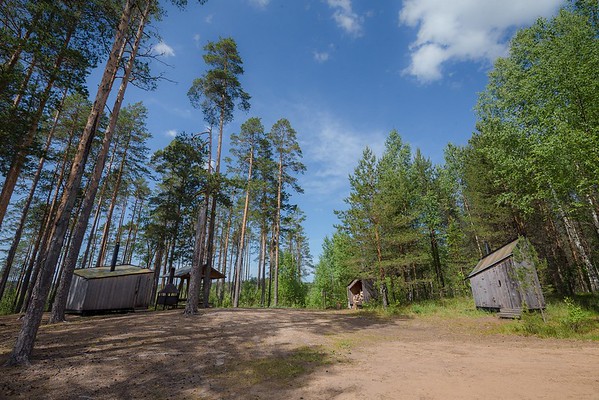
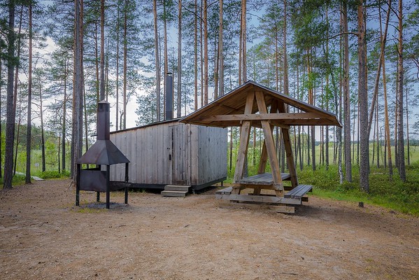
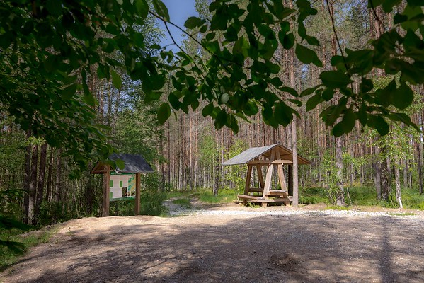
| Type of object | Campfire site |
| Parking facilities | Parking
for 10 cars |
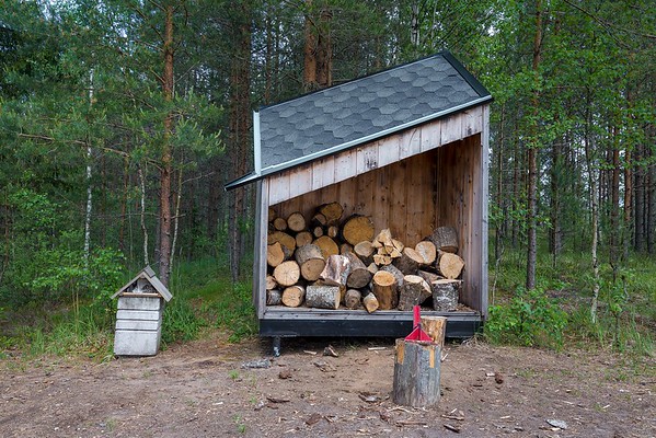
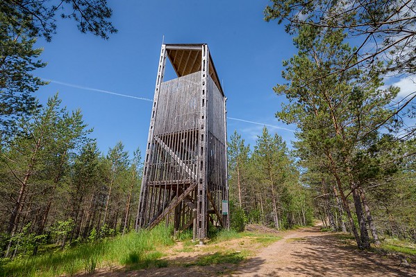
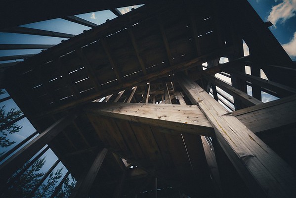
| Amenities | 2 campfire
sites, dry toilet, shelter, conical tent, information board, observation tower
on upland |
| Camping facilities | The maximum number of tents (for 4) allowed is 4 |
| Outdoor fireplace | yes |
| Sights | Different
forest growth types, sand ridges formed during the retreat of Lake Peipsi, raised
bog flora, bog islands, bog pools, “money pit”, Rüütli bog |
| Berries and mushrooms | Cranberries |
| Additional information |
Before going on a nature walk please read the Environmental code of conduct (freedom to roam). |
| Restrictions | The
campfire site is situated in Muraka Nature Conservation Area. According to the nature conservation rules, motorised vehicle traffic is prohibited outside roads and paths. Campfires can be made only in designated sites. |
| Location | Alutaguse municipality, Ida-Viru County Object no. 10 on recreation area map |
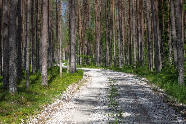
| Driving directions | Drive
36 km on Jõhvi–Tartu road, turn right after Iisaku small town (sign to Kotka
hiking trail) and drive 1.2 forward, turn left at the junction to the road
taking to the sand bank (follow the roadside signs). Drive 2 km to the parking
area, where you can leave your car, and walk about 800 m to the campfire site
on a bog island. |
| Geographic coordinates | Long-Lat WGS 84 latitude: 59.059907 longitude: 27.254092 |
| L-EST 97 x: 6551316 y: 686623 |