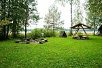
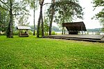
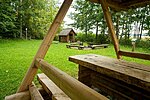
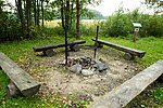
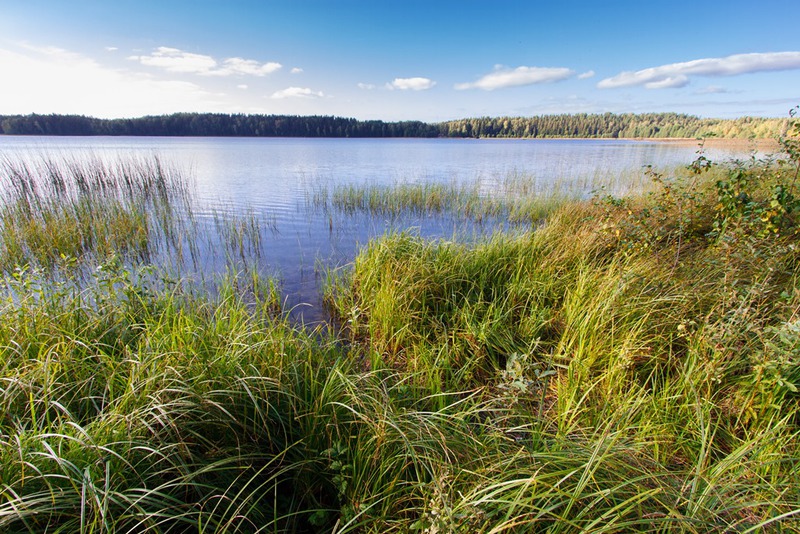
Lake Ähijärv campfire site
Võru County, Karula National Park
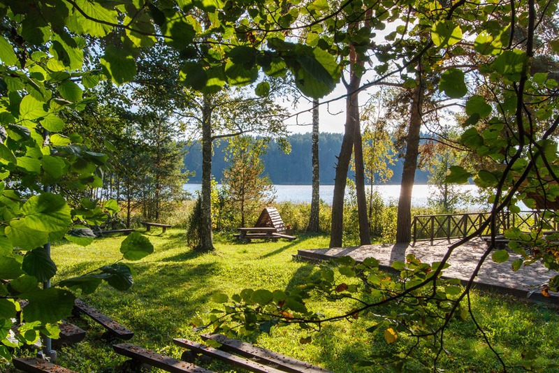
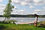
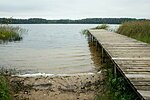
The campfire site is situated on the shore of scenic Lake Ähijärv. There is a beach with a swim deck and changing cabin near the campfire site. Tents are not allowed at the campfire site, but you can pitch your tent at Suuremäe campsite up on the hill.
| Phone | +372 782 8350 |
|
info.karula@rmk.ee
| |
| Type of object | Campfire site |
| Parking facilities | Parking for 20 cars, 200 m from the campfire site. |
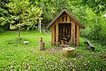
| Amenities | 20 benches, picnic table, fire ring, firewood shelter, outdoor stage, outdoor lighting. |
| Campfire site | Fire ring with a grill |
| Hiking options |
The campsite is on the RMK Peraküla-Aegviidu-Ähijärve Hiking Route. The lakeside parking area next to the campfire site marks the start of the 4 km Lake Ähijärv trail introducing cultural heritage and nature, the 36 km Karula hiking trail, and the 0.5 km nature trail/playground for children. |
| Sights | Varied spruce and pine forests of rich biodiversity, scenic Lake Ähijärv. |
| Additional information |
|
| Restrictions | Tents and driving to the beach are prohibited. The campfire site is situated in Karula National Park, about restrictions please read here. Further information can be obtained from the Environmental Board (+372 662 5999, info@keskkonnaamet.ee). |
| Location | In Karula National Park’s visitor centre, Ähijärve village, Antsla municipality. Object no 1 on the national park map. |
| Driving directions | Drive 8 km from Antsla towards Haabsaare, turn right 50 m after the Haabsaare bus stop (signs “Karula rahvuspargi külastuskeskus 7 km”, “Saru 20 km”). Drive 7 km on Haabsaare–Saru road and follow the signs to Karula National Park’s visitor centre. From there follow the signs to Lake Ähijärv campfire site. |
| Geographic coordinates | Long-Lat WGS 84 latitude: 57.71146 longitude: 26.50260 |
| L-EST 97 x: 6399398 y: 649146 |
