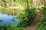
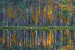
Paunküla hills hiking trails (total length 12 km)
Harju County, Aegviidu-Kõrvemaa Recreation Area
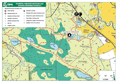
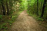
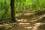
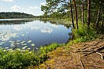
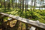
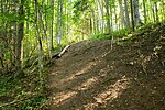
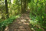
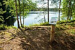
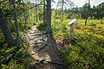
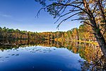
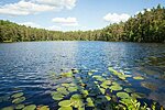
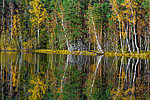
Twisting trails pass scenic lakes, eskers and bog pools, and can be combined into routes of different lengths and difficulty levels.
| Phone | +372 604 7212 |
|
info.aegviidu@rmk.ee | |
| Type of object | Hiking trail |
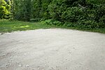
| Parking facilities | Parking for about twenty
cars or some buses |
| Amenities | Nature trails of
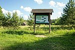
different length and difficulty level. A map with the scheme of the trails and
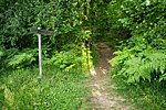
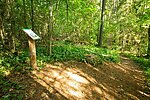
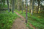
general information is at the parking area. The trail is marked with red spots
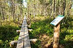
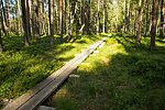
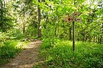
of paint on trees and equipped with wooden signs. A trail section of 800 m runs
along boardwalks. RMK Paunküla campfire site is within the area of the trails. |
| Camping facilities |
Maximum number of tents (for 4) allowed is 6. |
| Campfire site | Paunküla campfire site |
| Hiking options | yes |
| Sights | Varied terrain, lakes,
bogs, forests |
| Additional information | The hiking trail is not kept clear of snow. Before going on a nature walk please read the Environmental code of conduct (freedom to roam), rules of conduct and waste-sorting policy |
| Restrictions |
The campfire site is situated in Paunküla landscape reserve. Information about restrictions can be obtained from the Environmental Board:+372 662 5999, info@keskkonnaamet.ee
|
| Location | Kose municipality, Harju
County Object no 32 on recreation area map |
| Driving directions | On Tallinn–Tartu road
(Road no. 2) drive 49 km, turn right and drive 100 m to the parking area (Rõõsa bus stop). This
is the starting point for the hiking trails. |
| Geographic coordinates | Long-Lat WGS 84 latitude: 59.14491 longitude: 25.29034 |
| L-EST 97 x: 6556967 y: 573844 |
