Karula Pikkjärve campfire sites
Valga County, Haanja–Karula Recreation Area
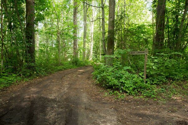
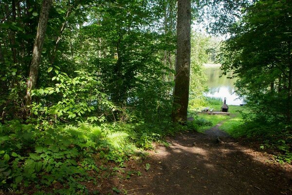
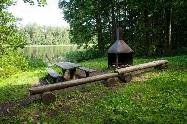
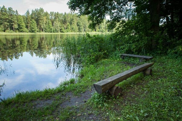
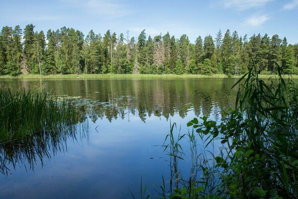
The campfire sites are located in a unique east-west oriented primeval valley by the lake. The lake has high, mostly sandy banks. A peaceful place for making campfire, camping, enjoying the beauty of the lake.
| Phone | +372 501 9564 |
|
info.pahni@rmk.ee
| |
| Type of object | Campfire site |
| Parking facilities | 100 m before the first campfitre site by the road and 50 m before the second campfire site by the road. |
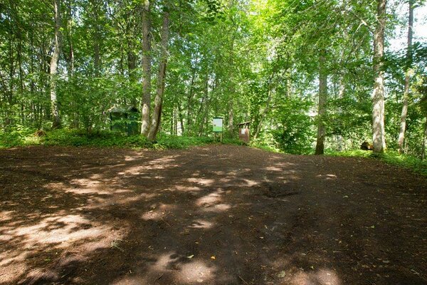
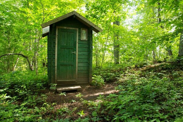
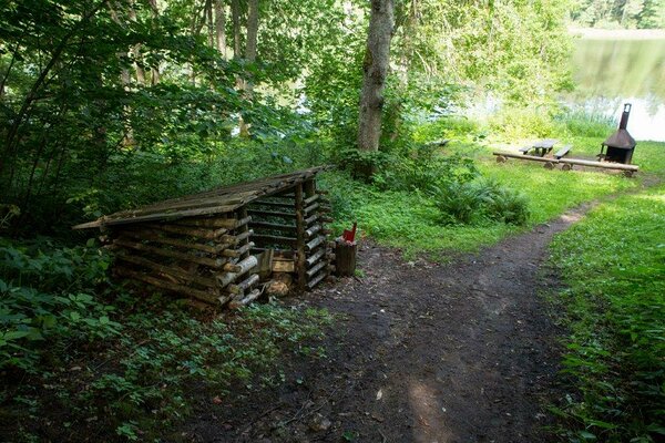
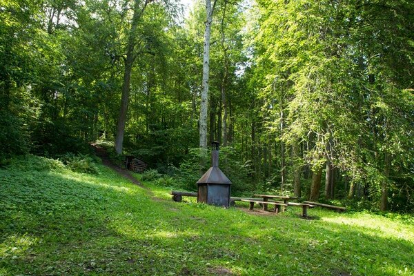
| Amenities | 2 campfire places with grill rest, dry toilet and woodshed |
| Camping facilities |
Camping space for 3 tents (for 4) |
| Outdoor fireplace |
2 campfire places with grill rest |
| Sights | The narrow lake with deep valleys covered with old forest. |
| Additional information |
|
| Restrictions | The campfire sites are located in Karula Pikkjärve Landscape Protection Area, information about restrictions can be obtained from the Environmental Board (+372 662 5999, info@keskkonnaamet.ee). |
| Location | On the shore of Lake Karula Pikkjärv, Valga municipality, Valga County. Object no 16 on the recreation area map. |
| Driving directions | On Valga-Võru road, 7 km from Valga (after the Londi bus stop), turn left onto Puurna–Lüllemäe–Litsmetsa road and drive 10 km. First campfire site: after Pikkjärve bus stop turn left (follow the sign “RMK Karula Pikkjärve lõkkekoht”) The second campfire site (BL: 57.768760, 26.287190): 500 m after the "Pikkjärve" bus stop turn left again and after 500 m again to the left. |
| Geographic coordinates | Long-Lat WGS 84 latitude: 57.770329 longitude: 26.302118 |
| L-EST 97 x: 6405505 y: 636981 |