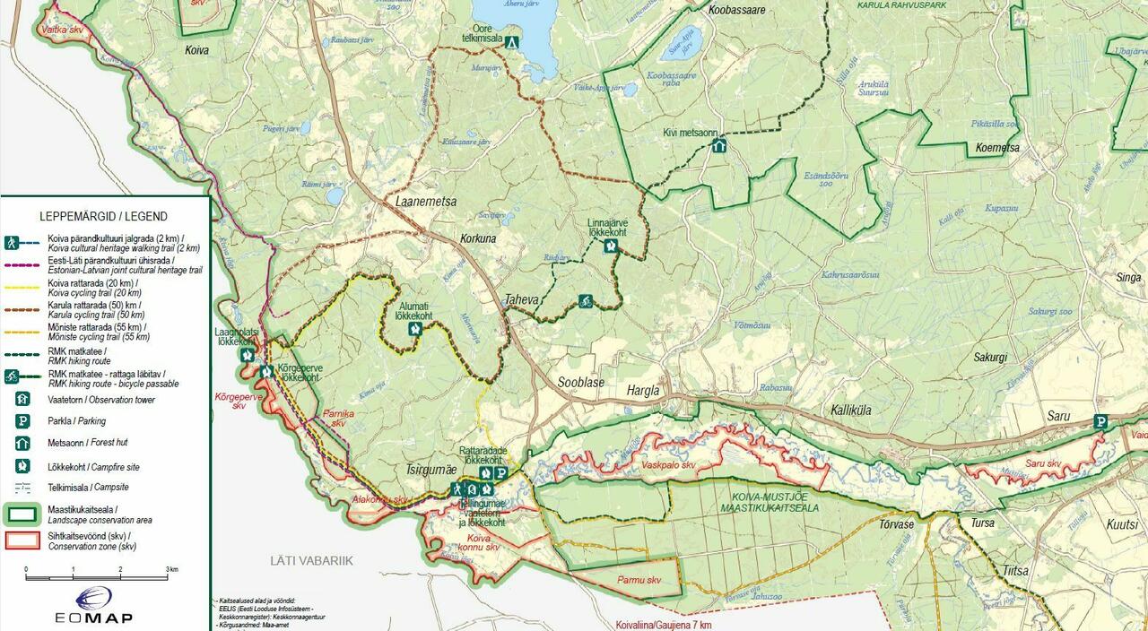
Mõniste cycling trail (55 km)
Valga County, Haanja–Karula Recreation Area
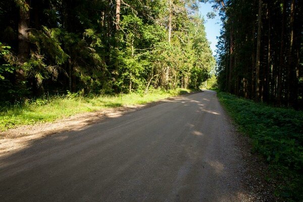
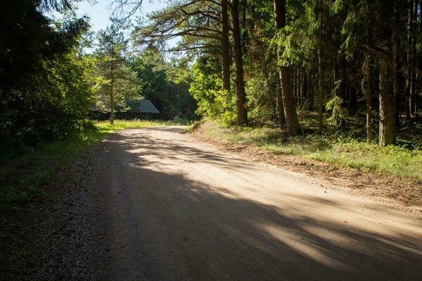
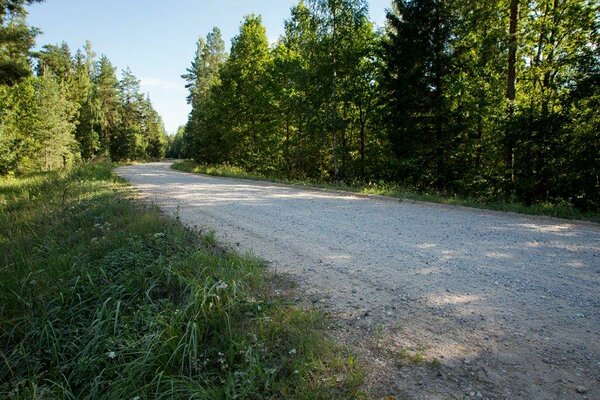
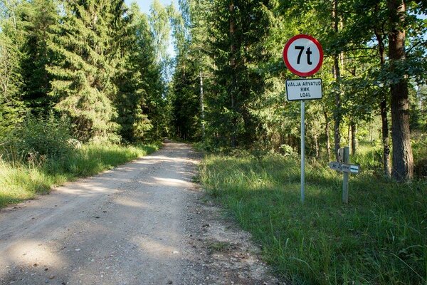
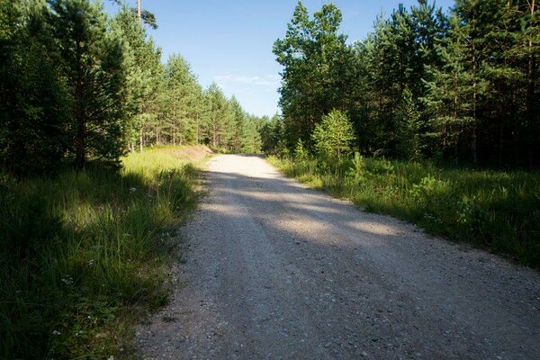
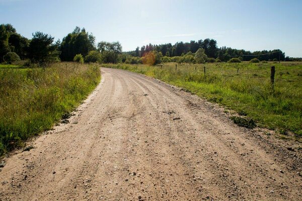
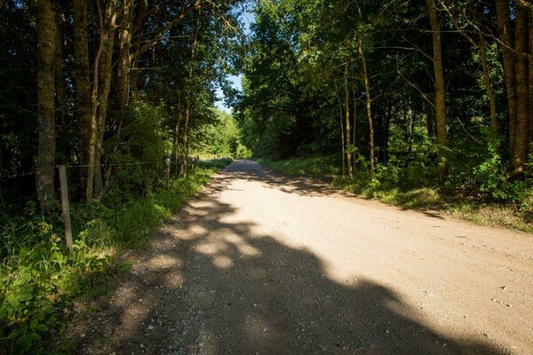
The trail starts at the foot of the Tellingumägi hill, at the Cycling trails campfire site. The cycling trail goes through the forests alongside the Estonian-Latvian border to the southernmost point of Estonia and then returns to the start via another route. The trail goes along gravel roads, forest roads and forest rides and there are several recreation sites by the trail.
| Phone | +372 501 9564 |
|
info.pahni@rmk.ee
| |
| Type of object | Cycling trail |
| Parking facilities | Parking for 10 cars at the beginning of the trail. |
| Amenities | There are 2 recreation sites along the trail. |
| Campfire site | yes |
| Hiking options | by bicycle |
| Additional information |
Before going on a nature walk please read the Environmental code of conduct (freedom to roam), rules of conduct and waste-sorting policy
|
| Location | Start of the trail at the foot of the Tellingumägi hill, Tsirgumäe village, Valga municipality, Valga County. Object no 13 on the recreation area map. |
| Driving directions | On Võru–Valga road (Road no. 67), 53 km from Võru, about 1.5 km after Hargla, turn left (follow the sign “Taheva Sanatoorium”), drive 1.4 km and turn left again. After 1 km drive off the asphalt road onto a narrow gravel road (follow the sign “Tellingumäe vaatetorn”) and the start of the cycling trail is after about 1 km. |
| Geographic coordinates | Long-Lat WGS 84 latitude: 57.598759 longitude: 26.332802 |
| L-EST 97 x: 6386470 y: 639471 |