RMK hiking route Heltermaa-Ristna-Sarve/Kärdla-Ristna (107 km)
Hiiumaa, Hiiumaa Recreation Area
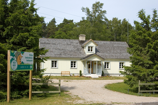
The second section of Hiiumaa branch of the RMK Hiking Route starts at the centre of Kärdla.
While the first section runs mainly along village roads and local roads, the second section is different. Covering a total of 107 km, it is also the longest part of the hiking route’s Hiiumaa branch.
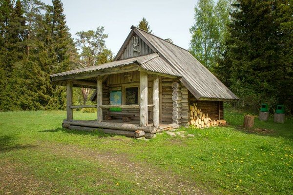
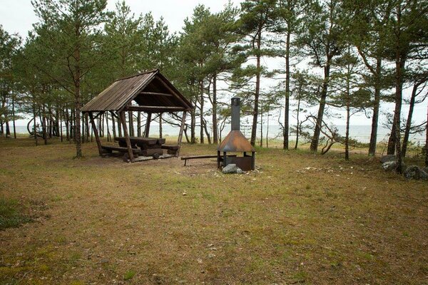
Starting at the central square of Kärdla, the route runs along Tiigi street up to the edge of the town where it gets to Kärdla hiking trail and follows it out of the town. Autobaasi campfire site is at Kärdla hiking trail.
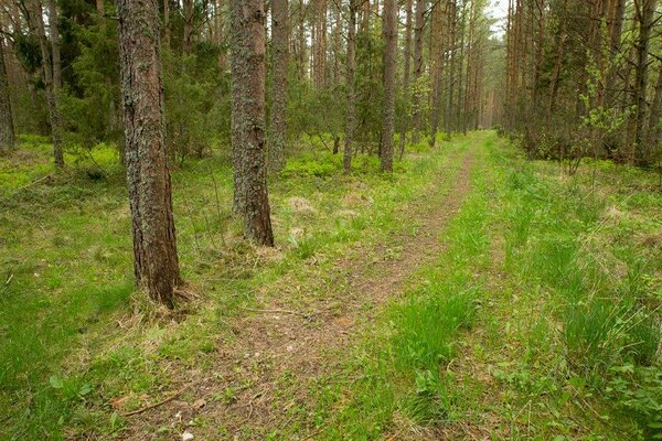
The hiking route departs from Kärdla hiking trail to a sandy forest road, crosses a roadside ditch and turns to a forest path.
On the other side of the forest, the hiking trail goes for a short distance along the road, then returns to a forest path and gets to Tõrvanina campsite.
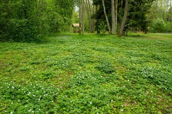
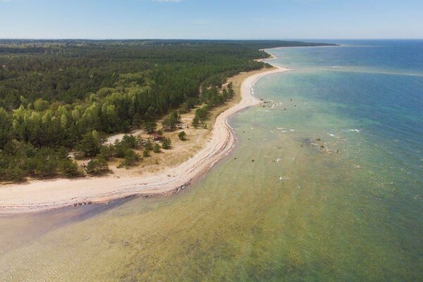
After the campsite, the hiking route heads towards the centre of Tahkuna peninsula, and through uninhabited areas in the forest to the northern coast of the peninsula.
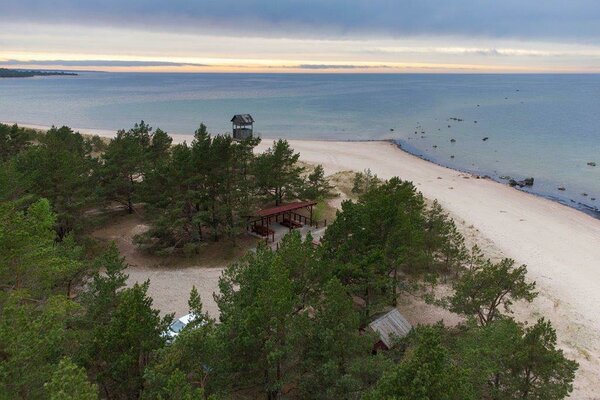
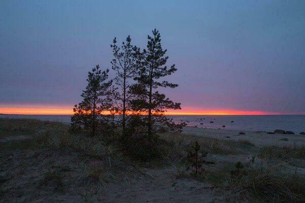
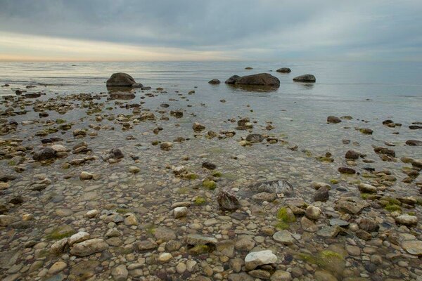
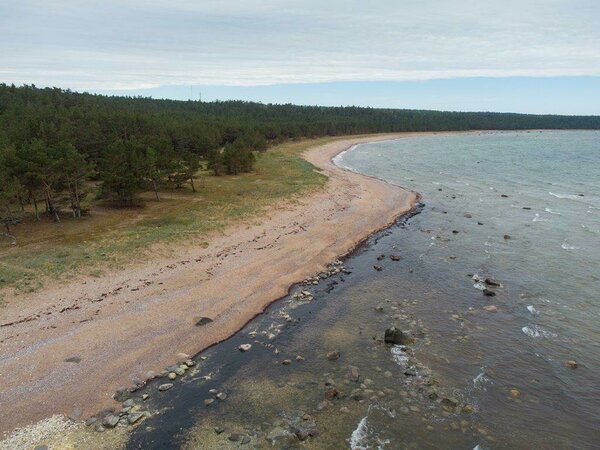
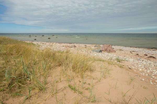
The hiking route takes a detour to Lõimandi beach and goes along the ridges of old dunes on the northern shore of the peninsula, passing the coastal defence and fortifications dating from the period of World War I and II on Tahkuna peninsula. Tahkuna lighthouse is in the northwestern part of the peninsula.
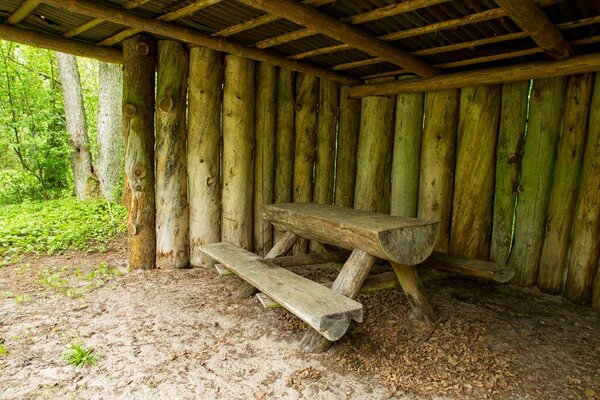
The trail of the hiking route turns back towards the centre of the peninsula and there, in the middle of the woods, is Ränkaja campfire site, where hikers can put up tents and stop for the night.
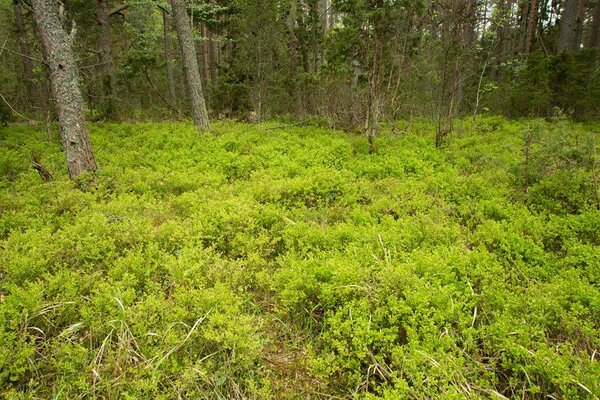
Next, the hiking route heads towards the centre of Hiiumaa island, and passes the Kaibaldi heath and sand area. This is the largest sand area in Estonia; it developed as a result of forest fires and use as a Soviet Army training site for heavy military machinery.
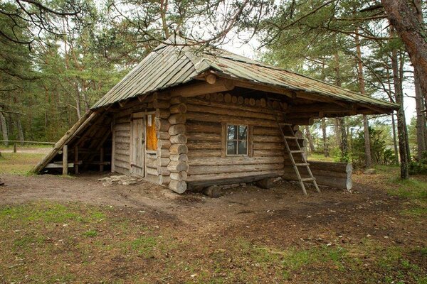
After passing Kaibaldi sand area, the trail goes through Sakkasoo heath. Back on the forest road, the trail goes past the recently restored former peat extraction area, curves round the Mõdumaa marshland and along a gravel road to Kapasto forest hut.
Near Kapasto forest hut are the lands of Aruselja farm, where you can also find one of the oldest windmills of Hiiumaa – the Aruselja windmill.
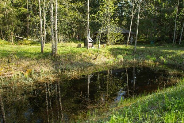
Going on towards Luidja, the trail passes the Pihla bog, the largest wetland of Hiiumaa, and finally gets back to Laasimetsa campfire site.
After Laasimetsa, the trail goes through Hüti village, where Hüti glass workshop, the first glass factory that operated in Estonia, was located.
The hiking trail runs between fields to the coast of Kõpu peninsula and goes through the alder grove of Luidja.
While the first section runs mainly along village roads and local roads, the second section is different. Covering a total of 107 km, it is also the longest part of the hiking route’s Hiiumaa branch.
Starting at the central square of Kärdla, the route runs along Tiigi street up to the edge of the town where it gets to Kärdla hiking trail and follows it out of the town. Autobaasi campfire site is at Kärdla hiking trail.
The hiking route departs from Kärdla hiking trail to a sandy forest road, crosses a roadside ditch and turns to a forest path.
On the other side of the forest, the hiking trail goes for a short distance along the road, then returns to a forest path and gets to Tõrvanina campsite.
After the campsite, the hiking route heads towards the centre of Tahkuna peninsula, and through uninhabited areas in the forest to the northern coast of the peninsula.
The hiking route takes a detour to Lõimandi beach and goes along the ridges of old dunes on the northern shore of the peninsula, passing the coastal defence and fortifications dating from the period of World War I and II on Tahkuna peninsula. Tahkuna lighthouse is in the northwestern part of the peninsula.
The trail of the hiking route turns back towards the centre of the peninsula and there, in the middle of the woods, is Ränkaja campfire site, where hikers can put up tents and stop for the night.
Next, the hiking route heads towards the centre of Hiiumaa island, and passes the Kaibaldi heath and sand area. This is the largest sand area in Estonia; it developed as a result of forest fires and use as a Soviet Army training site for heavy military machinery.
After passing Kaibaldi sand area, the trail goes through Sakkasoo heath. Back on the forest road, the trail goes past the recently restored former peat extraction area, curves round the Mõdumaa marshland and along a gravel road to Kapasto forest hut.
Near Kapasto forest hut are the lands of Aruselja farm, where you can also find one of the oldest windmills of Hiiumaa – the Aruselja windmill.
Going on towards Luidja, the trail passes the Pihla bog, the largest wetland of Hiiumaa, and finally gets back to Laasimetsa campfire site.
After Laasimetsa, the trail goes through Hüti village, where Hüti glass workshop, the first glass factory that operated in Estonia, was located.
The hiking trail runs between fields to the coast of Kõpu peninsula and goes through the alder grove of Luidja.
| Phone |
+372 676 7499, +372 5300 0991
|
| info.ristna@rmk.ee | |
| Type of object | Hiking trail |
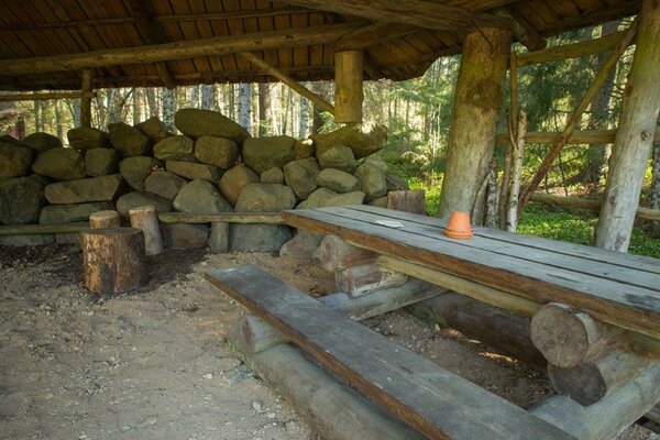
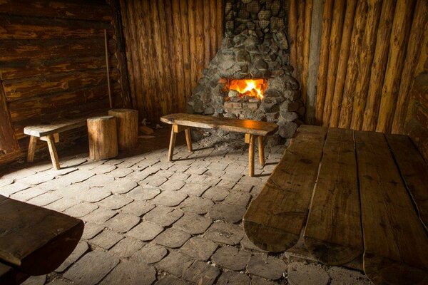
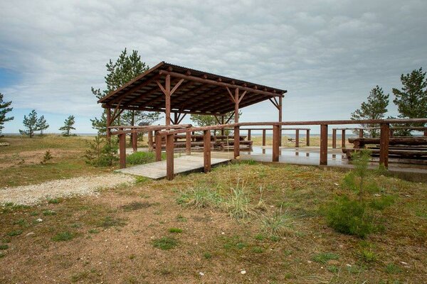
| Amenities | The trail is marked with signposts and white-green-white paint markings. The rest stops on the trail and distances between them: Autobaasi campfire site - Tõrvanina campsite 7 km Tõrvanina campsite - Ränkaja campfire site 23 km Ränkaja campfire site - Kapasto forest hut 19 km Kapasto forest hut - Laasimetsa campfire site 11,5 km Laasimetsa campfire site - Luidja campsite 15 km Luidja campsite - Palli campsite 5km Palli campsite - Mägipä campsite/Kalurikoja forest hut 7,5 km Mägipä campsite/Kalurikoja forest hut - Hirmuste campsite 6 km Hirmuste campsite - Ristna Visitor Centre 12 km |
| Camping facilities |
Campsites and campfire sites at the trail |
| Campfire site | Campsites and campfire sites at the trail |
| Hiking options |
Trails starting at the section of the hiking route: |
| Sights | Military structures on Tahkuna peninsula, Tahkuna lighthouse, Kaibaldi sand area, Sakkasoo, Aruselja windmill, alder grove at Luidja, Tõnupsi dunes, Ristna lighthouse, military structures of Ristna, Kalana harbour |
| Additional information |
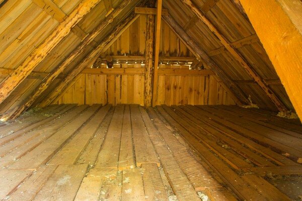
The objects is equipped with firewood. |
_block.jpg)
_block.jpg)