RMK hiking route Heltermaa-Ristna-Sarve/Tihu-Sarve (56 km)
Hiiumaa, Hiiumaa Recreation Area
The trail from Kassari island to Hiiumaa goes through low sea water, where the water level can be above the ankle even in fine weather. Please take this into consideration when planning your hike.
In stormy weather or when it is dark or the water level is high, it is advisable to use the road to return to Hiiumaa.
In stormy weather or when it is dark or the water level is high, it is advisable to use the road to return to Hiiumaa.
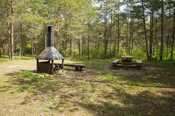
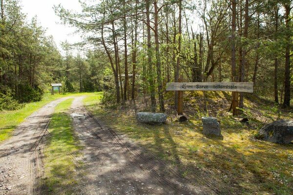
The final part of the Hiiumaa branch of RMK Hiking Route starts at Tihu forest hut and takes the hikers back towards Heltermaa – to Sarve campsite, located just 3 km from the port. Hikers may also want to head for Sõru harbour, where they can take the ferry to Saaremaa island.
On this section of the trail, distances between rest stops are very long and therefore hikers need to prepare for the journey more carefully.
This section also includes a sea crossing between the eastern coast of Kassari island and Hiiumaa, where the water level is low most of the time but you should still be prepared to get your feet wet.
| Phone |
+372 676 7499, +372 5300 0991
|
| info.ristna@rmk.ee | |
| Type of object | Hiking trail |
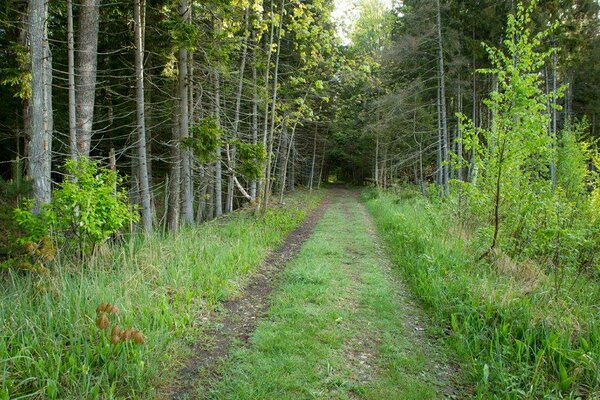
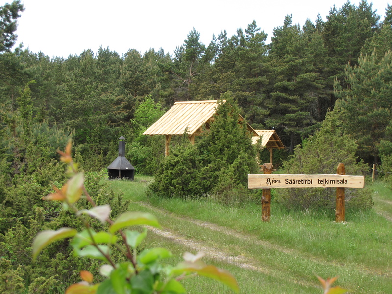
| Amenities | The trail is marked with signposts and white-green-white paint markings. The rest stops on the trail and distances between them: Tihu forest hut - Sääretirbi campsite 29 km Sääretirbi campsite - Sarve campsite 30,5 km |
| Camping facilities |
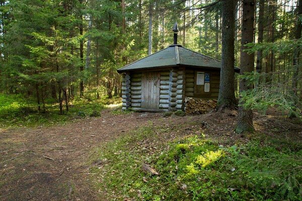
Campsites and campfire sites at the trail |
| Campfire site | Campsites and campfire sites at the trail |
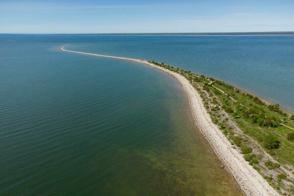
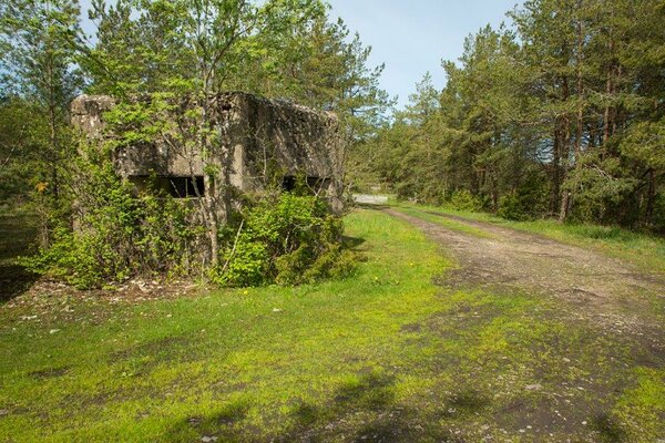
| Sights | Lake Tihu, Kassari island, Orjaku harbour, Õunaku bay, Salinõmme salt marsh, Sarve alvars |
| Additional information |
The objects is equipped with firewood. |