Uljaste hiking trail (3.8 km)
Ida-Viru County, Northern Shore of Lake Peipus Recreation Area
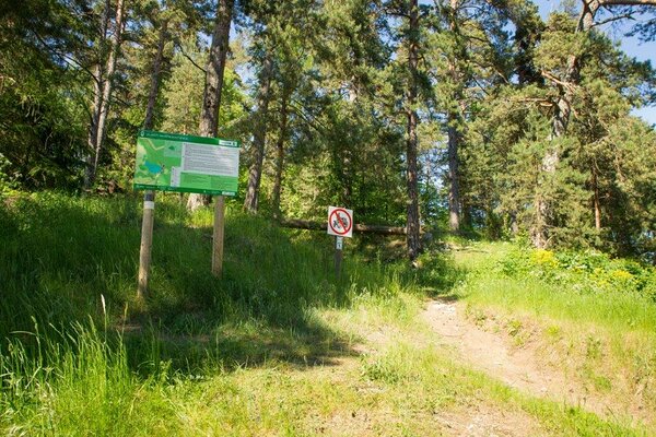
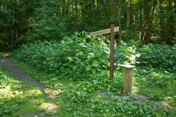
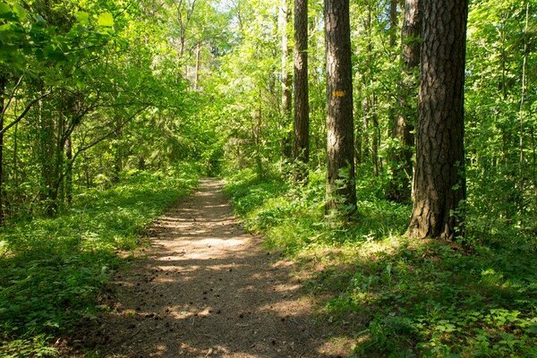
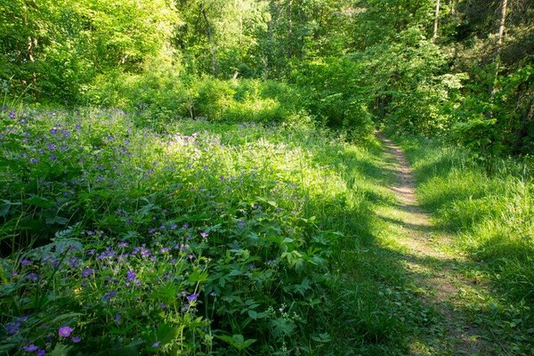
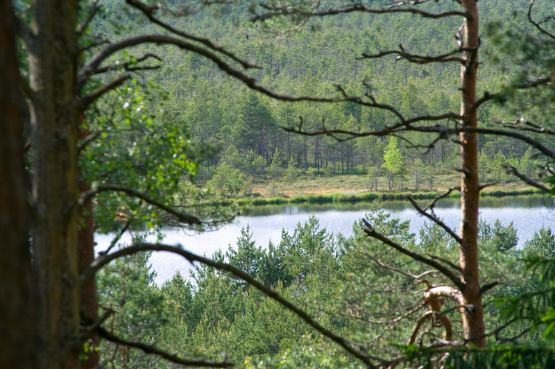
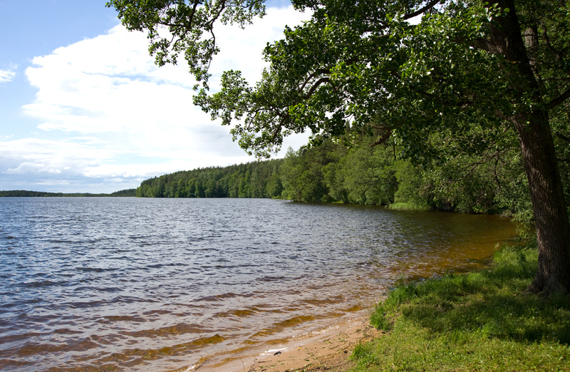
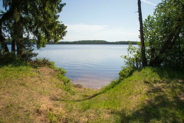
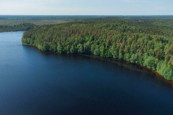
The hiking trail takes visitors to Lake Uljaste,
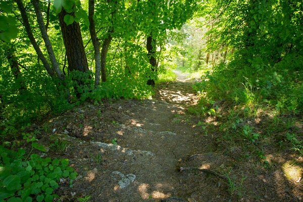
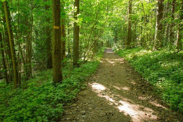
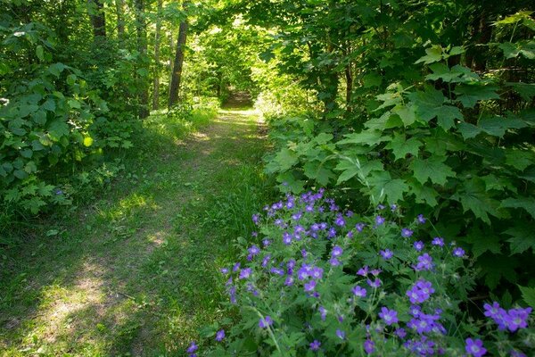
the esker, mire and primeval forest. The trail is signposted and runs mostly
along eskers. Uljaste esker is the highest natural spot in Ida-Viru County
(95.2 m).
| Phone | +372 5681 5722 |
| info.alutaguse@rmk.ee | |
| Type of object | Hiking trail |
| Parking facilities | Parking
for 20 cars |
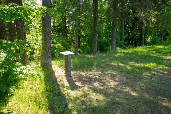
| Amenities | Information
board, sign, the trail is marked with yellow blazing on trees |
| Campfire site | yes |
| Hiking options | yes |
| Sights | Lake
Uljaste and Uljaste esker |
| Berries and mushrooms | Milk-caps, boletes |
| Additional information |
|
| Restrictions | The
trail is situated in Uljaste Landscape Reserve. According to the nature conservation rules, motorised vehicle traffic is prohibited outside roads and paths. Campfires can be made only in designated sites. |
| Location | Uljaste
village, Sonda municipality. Object no. 20 on recreation area map. |
| Driving directions | On
Tallinn–Narva road, turn right directly after the bridge in Sämi. Drive 10.5 km
on Sämi–Sonda–Kiviõli road to the sign of Uljaste village, turn left. Drive 1.5
km until you can see Lake Uljaste on your left. The parking area and the
campfire site are at the right side of the road. |
| Geographic coordinates | Long-Lat WGS 84 latitude: 59.378717 longitude: 26.759613 |
| L-EST 97 x: 6585529 y: 656822 |

Click on the map to download it.
(The file is large, therefore the download takes a few minutes.)