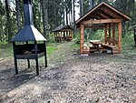
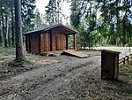
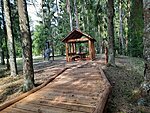
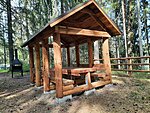
Jõuga lakes campfire site
Ida-Viru County, Alutaguse National Park
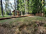
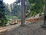
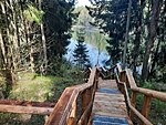
The campfire sites are on the bank of Lake Pesujärv. It is a popular swimming place. There is a boardwalk leading to the lakeside and a convenient pier for taking a dip. The Jõuga lake system comprises four lakes that emerged as a result of the melting of loose ice: Lake Jõuga Pesujärv, Lake Jõuga Linajärv, Lake Jõuga Liivjärv and Lake Armise. Several rare plant and animal species can be found in the lakes, e.g. the common water frog.
| Phone | +372 5681 5722 |
| info.kauksi@rmk.ee | |
| Type of object | Campfire site |
| Parking facilities | Parking
for 15 cars |
| Amenities | Asphalt parking lot, 6 covered outdoor fireplaces, 6 picnic tables with roof, dry toilet/inva DC, water well, floating bridge, stairs with viewing platform |
| Camping facilities | The maximum number of tents (for 4) allowed is 14. |
| Outdoor fireplace | Covered outdoor fireplace with cover |
| Wheelchair accessibility |
From the parking lot, a 1.2 m wide boardwalk leads down to the beach, right out to the floating bridge. There is a small pocket halfway through. Since the boardwalk is quite steep due to the natural conditions, we recommend visiting it with a help. You can reach the two picnic tables from the parking lot along a boardwalk, but a natural path leads to the dry toilet. |
| Sights | Jõuga
burial mounds, 2 lakes with sandy shores (Lake
Pesujärv, Lake Liivjärv),
a short walking trail around the lakes |
| Berries and mushrooms | Bilberries, wild strawberries, chanterelles, milk-caps |
| Additional information |
The object is equipped with firewood. Before going on a nature walk please read the Environmental code of conduct (freedom to roam), rules of conduct and waste-sorting policy |
| Restrictions | The
campfire sites are situated in Jõuga or Kivinõmme Landscape Reserve. According to the nature conservation rules, motorised vehicle traffic is prohibited outside roads and paths! Campfires can be made only in designated sites! |
| Location | Alutaguse municipality, Ida-Viru County Object no.5 on recreation area map |
| Driving directions | Drive
28 km on Jõhvi–Tartu road, turn left (at the signs to Jõuga lakes and Raudi)
and drive 1.7 km to the campfire site. Roadside parking space is on the right. |
| Geographic coordinates | Long-Lat WGS 84 latitude: 59.153719 longitude: 27.387724 |
| L-EST 97 x: 6562132 y: 693753 |
