RMK Penijõe-Aegviidu-Kauksi hiking route/Mummassaare-Kauksi (133 km)
Ida-Viru county, Alutaguse National Park
In Estonian nature, there are still old explosive devices left from the war. If you have found an object resembling an explosive device, leave it untouched, mark the location and immediately report the discovery to the emergency number 112.
More information on the website of the Estonian Rescue Board
More information on the website of the Estonian Rescue Board
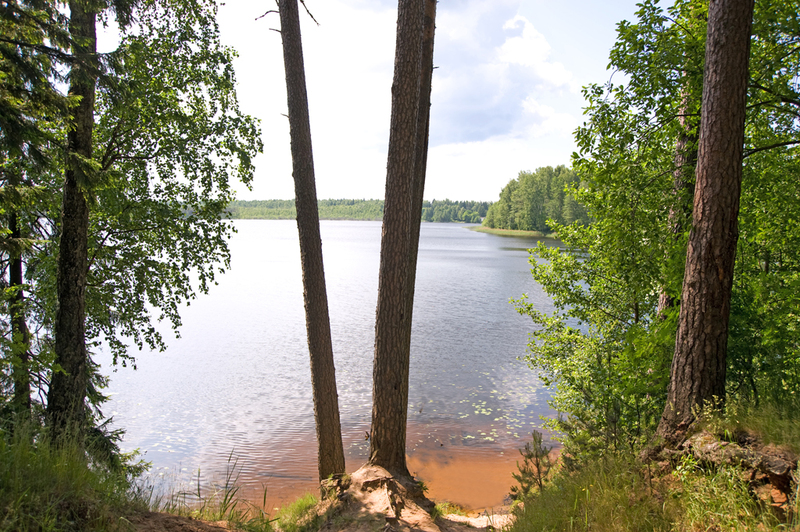
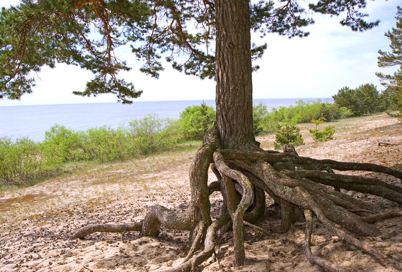
The last section of Penijõe–Aegviidu–Kauksi hiking route starts at the sea on the northern coast of Estonia, goes past the Kuremäe Convent, then along forest roads to Iisaku, heading to Kotka hiking trail and then further to the inland sand dunes (kriivas) of Agusalu. Next, the trail runs past large mires to Lake Peipus, and along the northern shore of the lake to Kauksi.
| Phone | Visitor Centre of Alutaguse National Park
+372 5681 5722
|
| info.alutaguse@rmk.ee | |
| Type of object | Hiking trail |
| Parking facilities | The best option for long-term parking is at Visitor Centre of Alutaguse National Park. A few cars can also be parked at each campsite along the hiking route. |
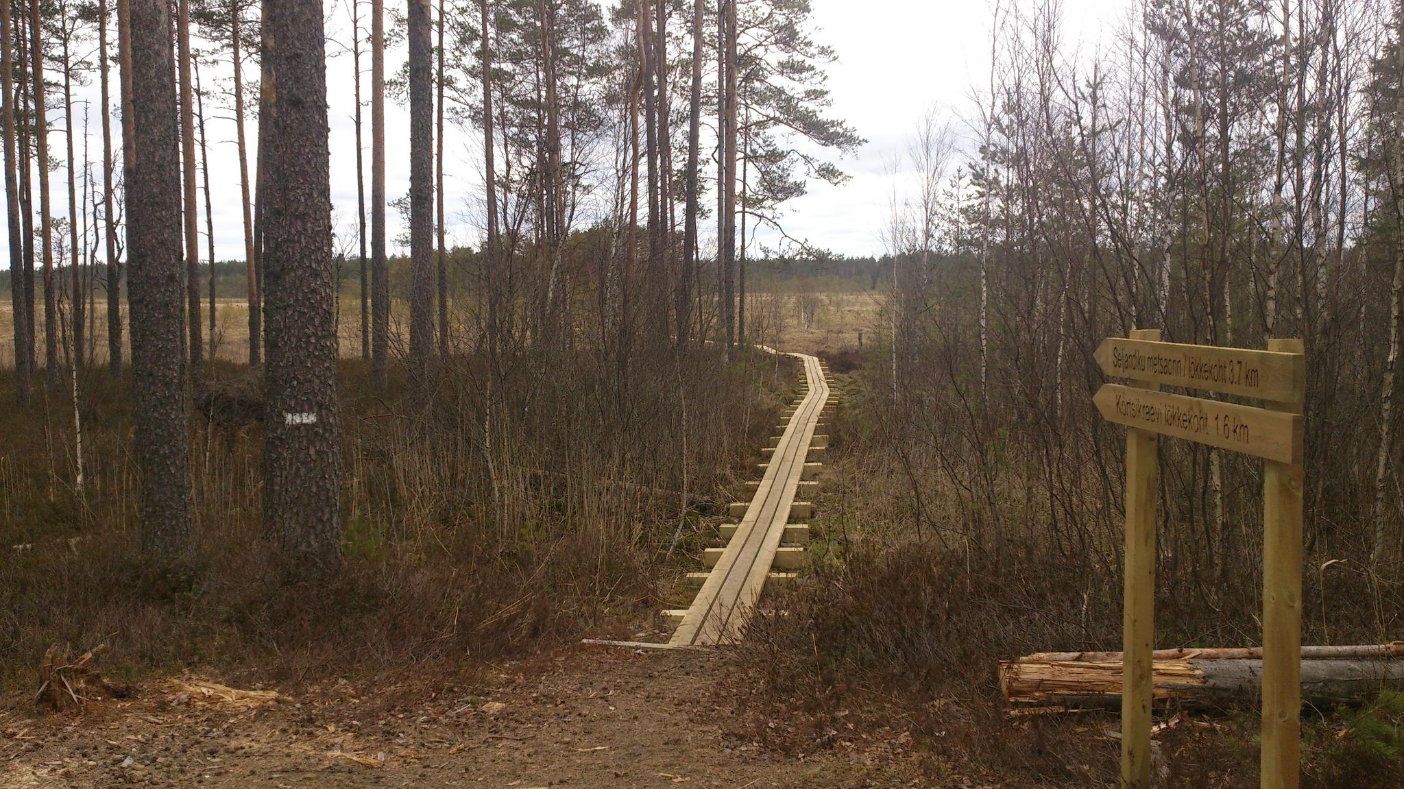
| Amenities | The trail is signposted and marked with white-yellow-white paint marks on trees. Rest stops on the trail and distances between them.
|
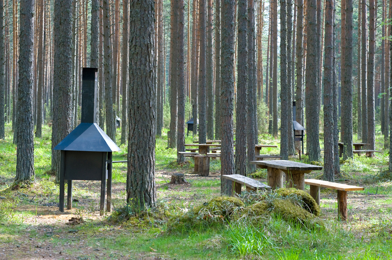
| Camping facilities |
At campsites and campfire sites along the hiking route |
| Campfire site | At campsites and campfire sites along the hiking route |
| Hiking options |
RMK Penijõe-Aegviidu-Kauksi hiking route |
| Sights | Tannenberg line, Museum at Sinimäed, Kurtna lakes, Pühtitsa Kuremäe convent, Agusalu sand dunes, Lake Peipus |
| Additional information |
Firewood is available at campfire sites.
Before going on a nature walk please read the Environmental code of conduct (freedom to roam). |