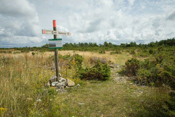
Vilsandi hiking trail (6 km and 8 km)
Saaremaa, Vilsandi National Park
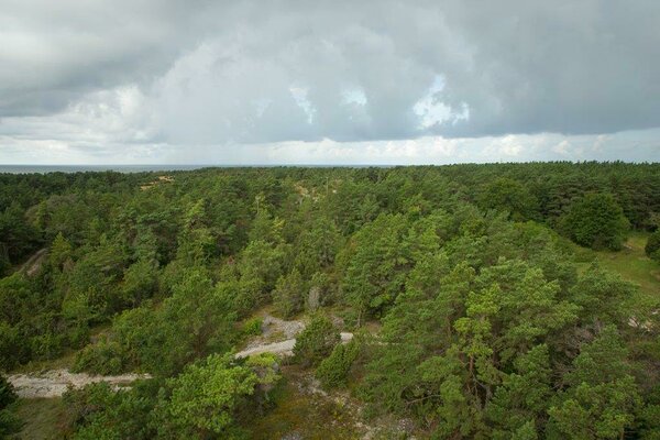
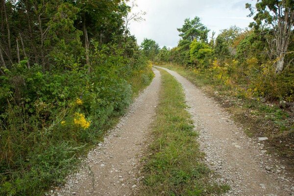
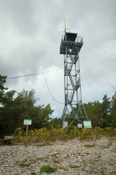
The two hiking trails start in the middle of the island close to the biology stations observation tower.
| Phone |
+372 454 6880 |
| info.vilsandi@rmk.ee | |
| Type of object | Hiking trail |
| Parking facilities |
Papissaare harbour
|
| Amenities | Information
board, trail maps, sings |
| Camping facilities | yes |
| Outdoor fireplace | yes |
| Hiking options | yes |
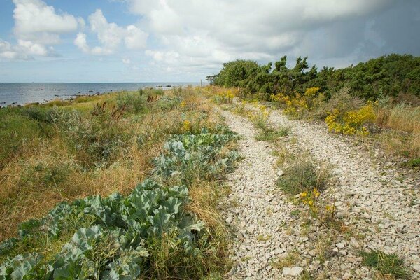
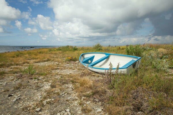
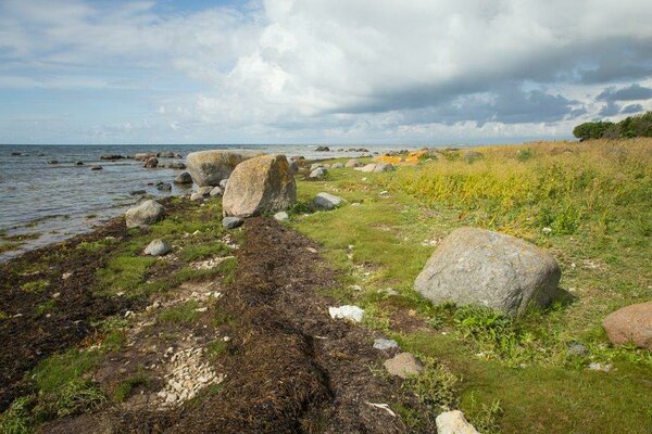
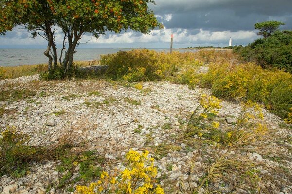
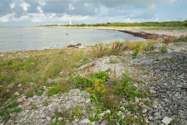
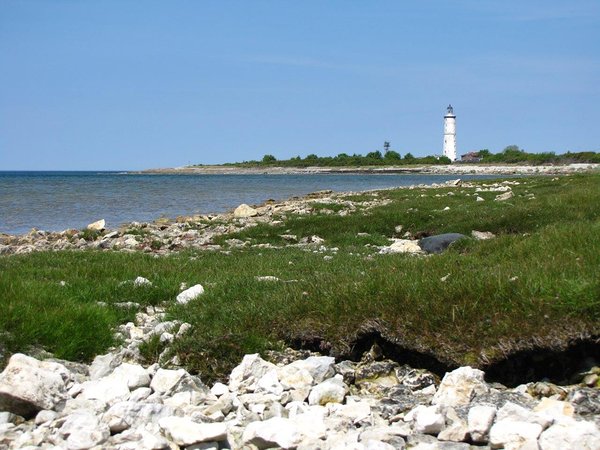
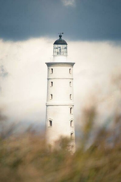
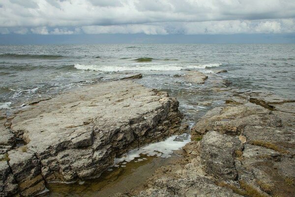
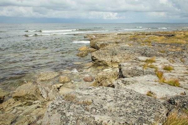
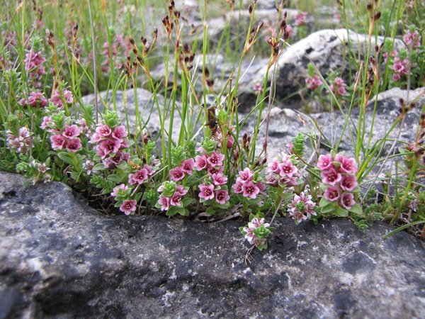
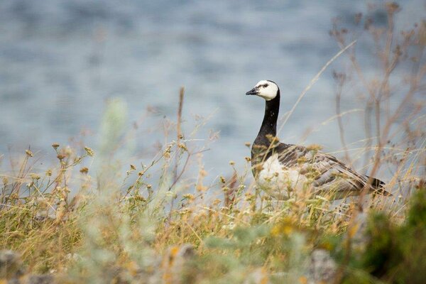
| Sights | Coastal
life style and maritime cultural heritage—port buildings, houses of captains
and sailors, windmills; exhibition about the history of nature conservation and
maritime history in Mändre farm; beach, juniper shrubs, coastal pastures; a
view of the Vaikas—the bird islands which were the birth place of nature
conservation in the Baltic area; more than two-centuries old lighthouse and the
lighthouse settlement from the Tsarist Era (ca. 1840–1917) with a 150-year-old
weather station: coral reefs, alvar forest, permanent forest monitoring grid,
Vesiloo Island, shingle bars, sea birds, wild animals, interesting vegetation. |
| Additional information |
|
| Restrictions |
Located in Vilsandi National Park. Information about restrictions can be obtained from the Environmental Board (+372 662 5999, info@keskkonnaamet.ee).
|
| Location | Vilsandi village, Saaremaa municipality Object no 23 on area map |
| Driving directions | Drive by the Kuressaare-Kihelkonna road for 30 km until you reach Kihelkonna crossroads and turn to Kihelkonna. On the midsquare there is sign towards Papissaare. Drive past Kihelkonna church to the cobblestone road. Drive straight 3 km to Papissaare harbour and leave your car at the parking area. Board a boat to go to the island. Information about boat transport is available on website https://www.saaremaavald.ee/uhistransport |
| Geographic coordinates | Long-Lat WGS 84 latitude: 58.378339 longitude: 21.842689 |
| L-EST 97 x: 6472903 y: 373809 |