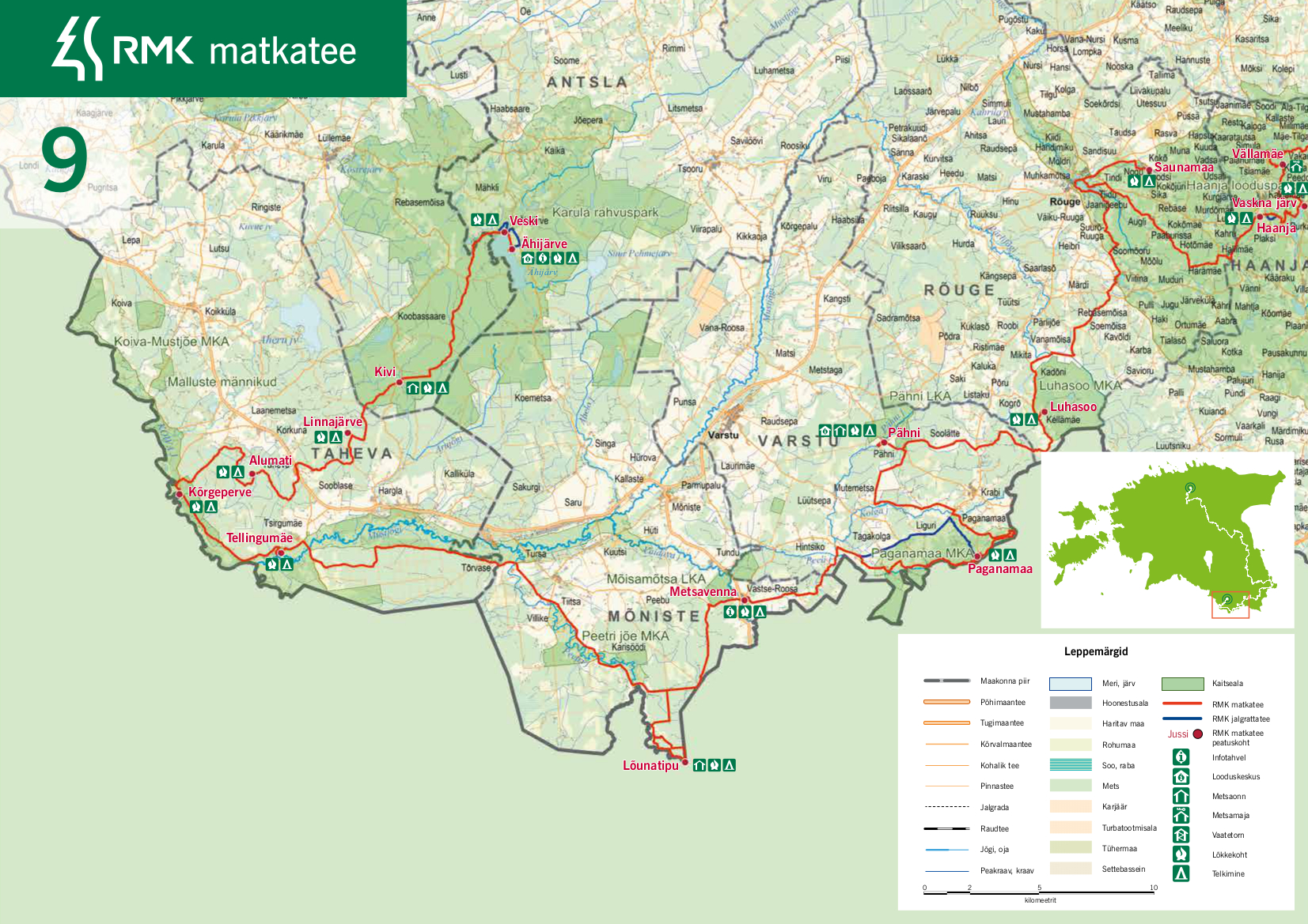
RMK Peraküla-Aegviidu-Ähijärve hiking route / Pähni-Ähijärve (105 km)
Võru County, Haanja-Karula Recreation Area
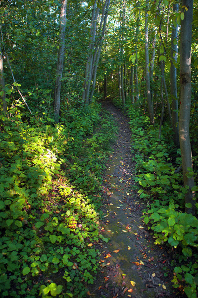
This section of the route is characterised by curvy village and forest roads, undulating open fields, numerous lakes and hills, and lots of berries and mushrooms in the forests in summer.
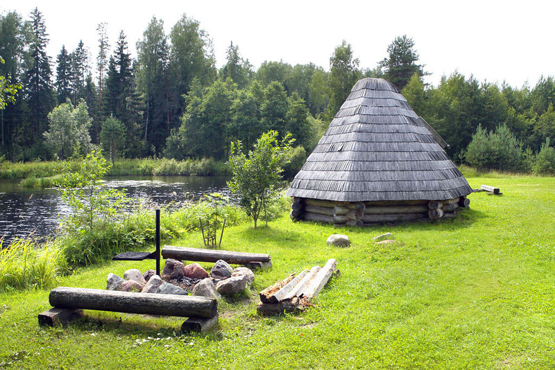
From Pähni the hiking route goes along forest, field and village roads to the Paganamaa area, which is rich in legends. The jewel of Paganamaa is the chain of lakes at Piirioja. The Estonian-Latvian border divides the lakes into two. From Paganamaa, cyclists and walkers have to continue along different ways. Walkers are directed into the wild forest and cyclists continue along forest and village roads to Metsavenna campfire site. There is a shop and a tourist farm which introduces the life of "forest brothers" (partisans hiding in the woods during WWII). Next, the trail goes through the village of Naha to the sourthernmost tip of Estonia. After that, it runs along forest tracks to the Tellingumägi hill, where it is possible to enjoy the view of the amazing curvy Mustjõgi river and its floodplains. The hiking trail continues through the beautiful and luminous pine stands of Koiva and the wooded Karula National Park to Ähijärve.
From Pähni the hiking route goes along forest, field and village roads to the Paganamaa area, which is rich in legends. The jewel of Paganamaa is the chain of lakes at Piirioja. The Estonian-Latvian border divides the lakes into two. From Paganamaa, cyclists and walkers have to continue along different ways. Walkers are directed into the wild forest and cyclists continue along forest and village roads to Metsavenna campfire site. There is a shop and a tourist farm which introduces the life of "forest brothers" (partisans hiding in the woods during WWII). Next, the trail goes through the village of Naha to the sourthernmost tip of Estonia. After that, it runs along forest tracks to the Tellingumägi hill, where it is possible to enjoy the view of the amazing curvy Mustjõgi river and its floodplains. The hiking trail continues through the beautiful and luminous pine stands of Koiva and the wooded Karula National Park to Ähijärve.
| Phone | +372 501 9564 |
|
info.pahni@rmk.ee
| |
| Type of object | Hiking trail |
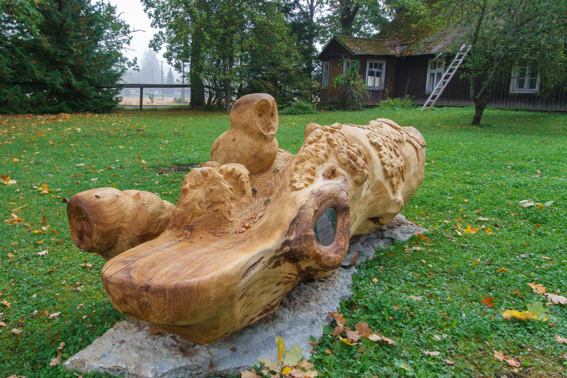
| Parking facilities | For long-term parking, it is suitable to use the parking areas of Pähni Visitor Centre or the visitor centre of Karula National Park. It is also possible to park at most of the campfire sites on this section of the hiking route, except for Lõunatipu campfire site. |
| Amenities | The trail is signposted and marked with white-green-white paint marks on trees. The rest stops on the trail and distances between them:
|
| Camping facilities |
Tent camping is available at each rest stop. |
| Outdoor fireplace | yes |
| Campfire site | yes |
| Water |
Drinking water can be taken from Pähni Nature Centre and the visitor centre of Karula National Park during their opening hours; in summer at any time from outdoor shower facilities of the visitor centre. |
| Hiking options |
There are several shorter signposted hiking trails on this section, which can be completed in addition to the main route. |
| Additional information |
|
| Restrictions | This section of the hiking route is in the territory of several protected areas, so visitors should have general knowledge of their protection rules. All along the hiking route one should not forget that camping and making a fire is allowed only at places designated for those purposes. |
| Location | The hiking trail is in Varstu, Mõniste, Antsla municipalities in Võru county and Taheva and Karula municipalities in Valga county. |
| Driving directions | It is good to start this section of the hiking route at Pähni Nature Centre, or if you go in the opposite direction, at Ähijärve near the visitor centre of Karula National Park. |


